

alexb
Active Member
Sort of out there, but with the City planning to demolish the Bay on-ramp, how does a streetcar only Bay Street sound?
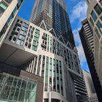
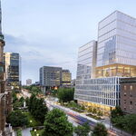
Maintain the union loop and use the below ground tunnel for the QQW streetcar and use Bay Street and a terminal just south of Front(above the union loop) for QQE. With the developments at 30 Bay, 45 Bay, and the eventual redevelopment of the Westin Harbour Conference Centre, theres going to be a ton of pedestrian movement along this route. It would be nice to have wide sidewalks, streetcar ROW, and would solve the QQE issue.
Heres a Google Map rough sketch: https://drive.google.com/open?id=118QhllKdy4WxyXpHGFJ37pUWd8Y&usp=sharing
")