Red October
Senior Member
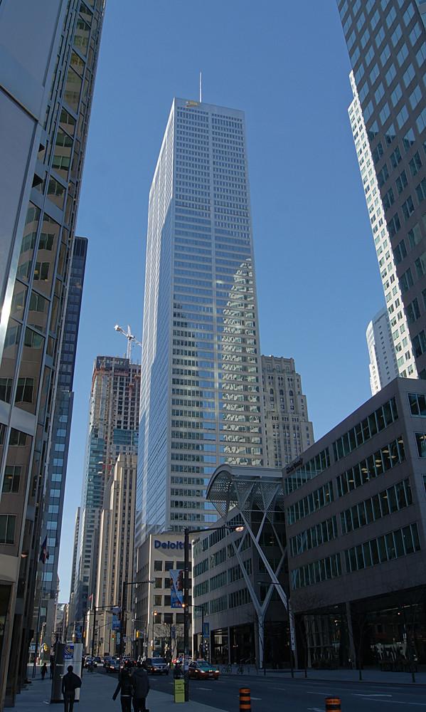
The plan/drawing I'm referring to is from the book Unbuilt Toronto (a fantastic read, btw), and I believe either that was the original plan, or a building right near it.
I'll try to scan the image and put it up here.
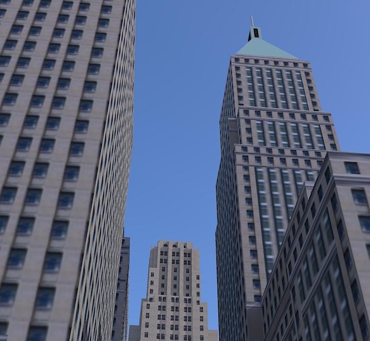
EDIT: I'll put up the actual drawing later, but for now I'll post this render somebody did on Google Earth, which is similar to what I am talking about.
I'll try to scan the image and put it up here.
EDIT: I'll put up the actual drawing later, but for now I'll post this render somebody did on Google Earth, which is similar to what I am talking about.
Last edited:


 lol.
lol.