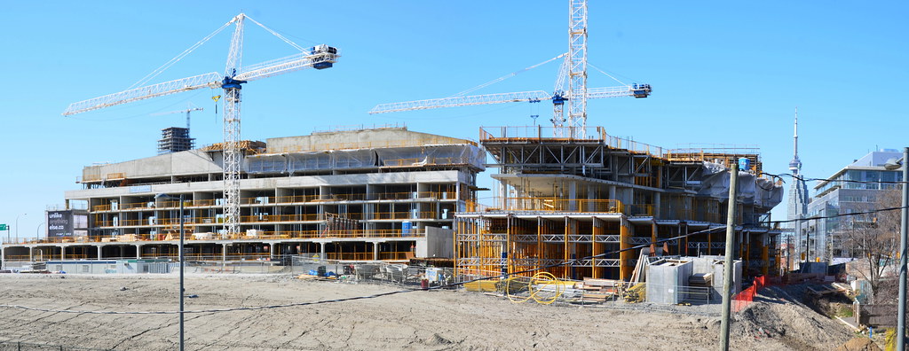
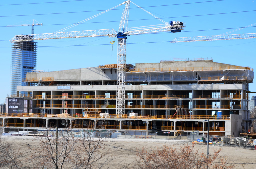
Toronto River City Condos Phases 1 & 2 | ?m | 16s | Urban Capital | ZAS Architects

It will have retail at the corner of River and King. Don't know how large. Phase 3 south of the bridge will have more retail.

I was told by the salesperson in the showroom(they will tell you anything), that the 1 retail unit was designated for a restaurant owned by the developer.
 
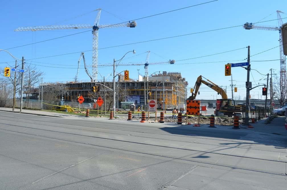
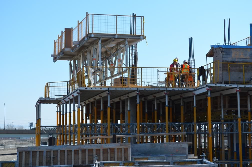
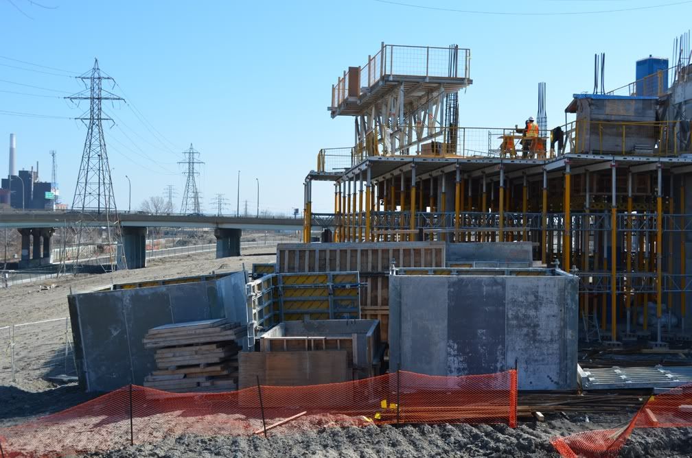
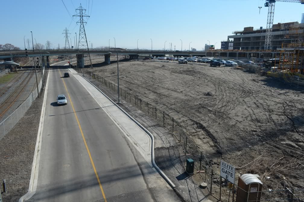
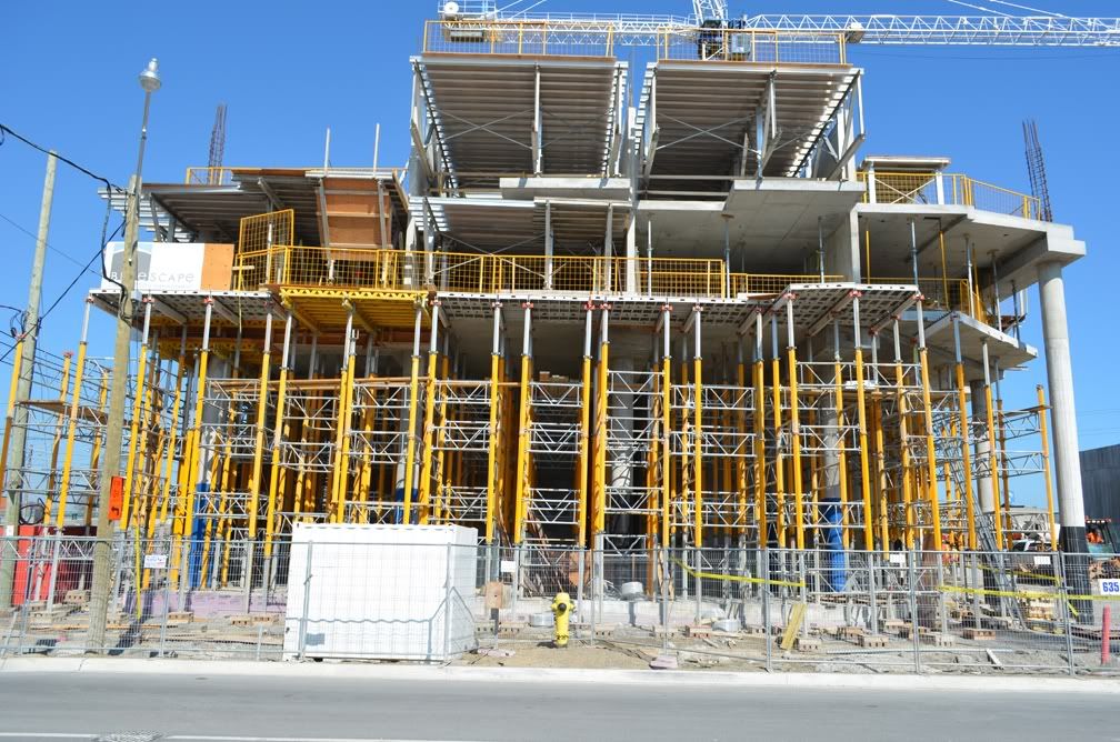
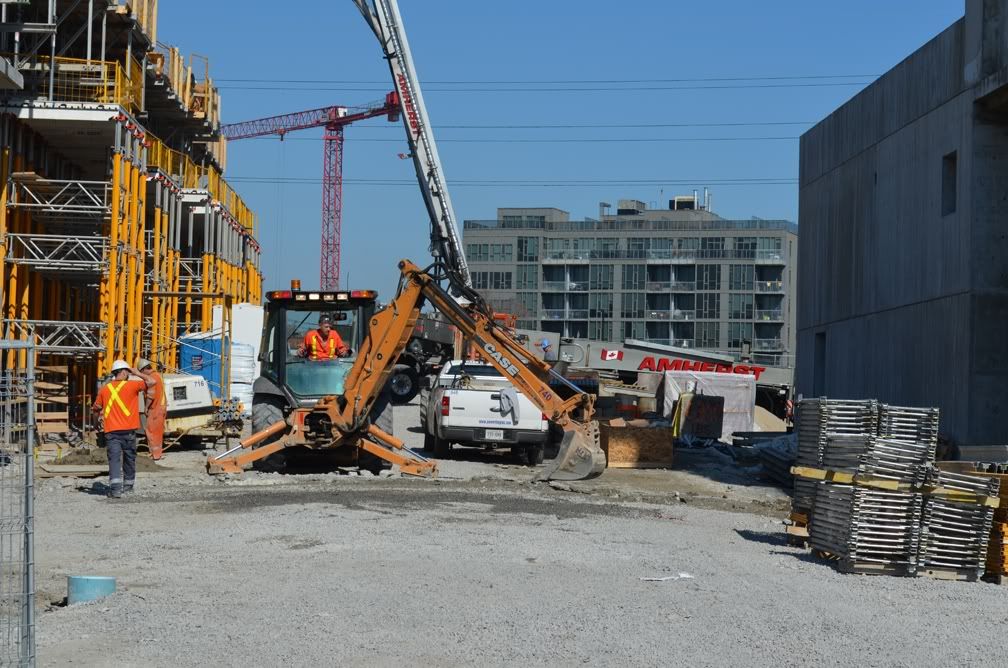
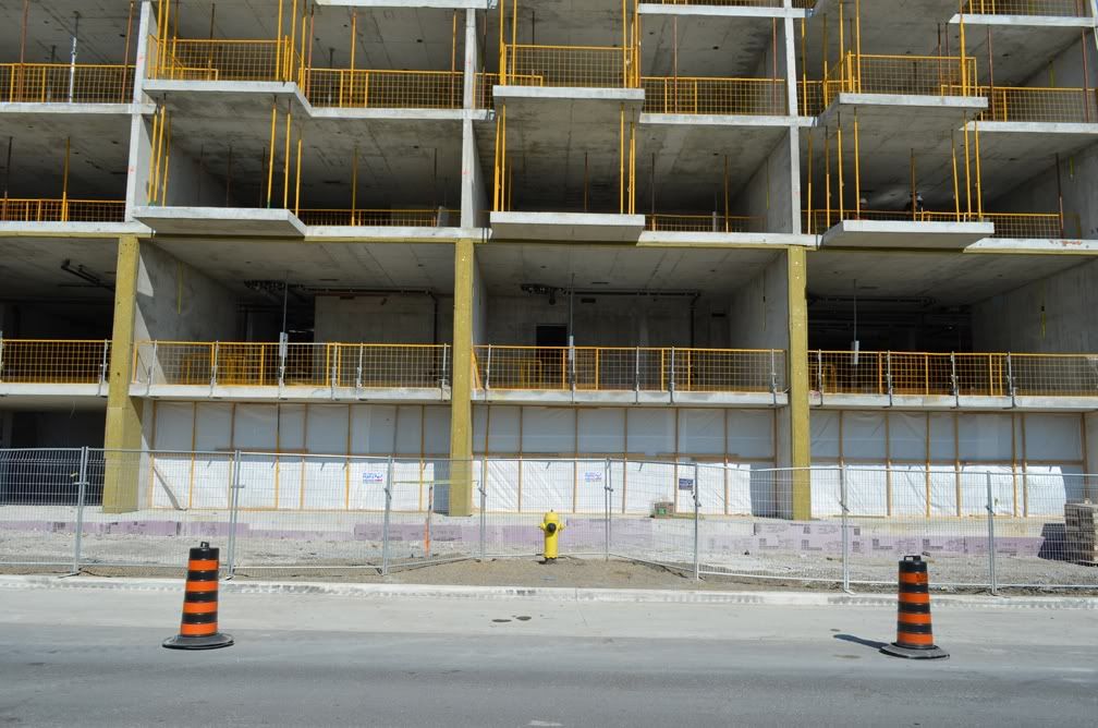
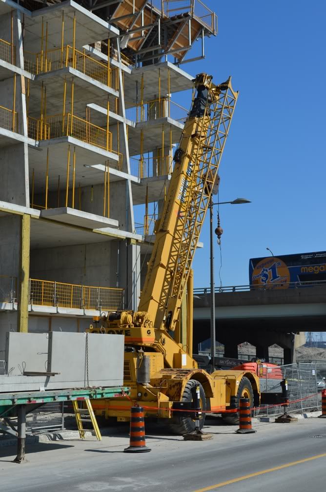
Yesterday, March 20, 2012

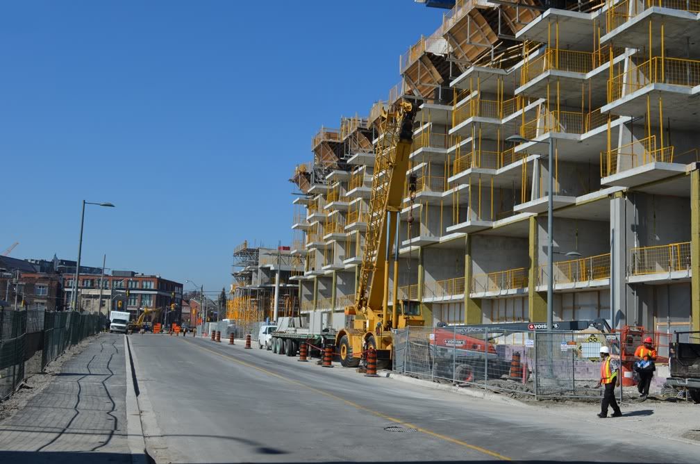
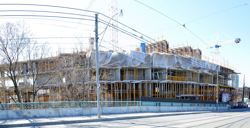
Looking South-ish.
March202012153.jpg


March202012155.jpg


March202012157.jpg


March202012158.jpg


March202012166.jpg


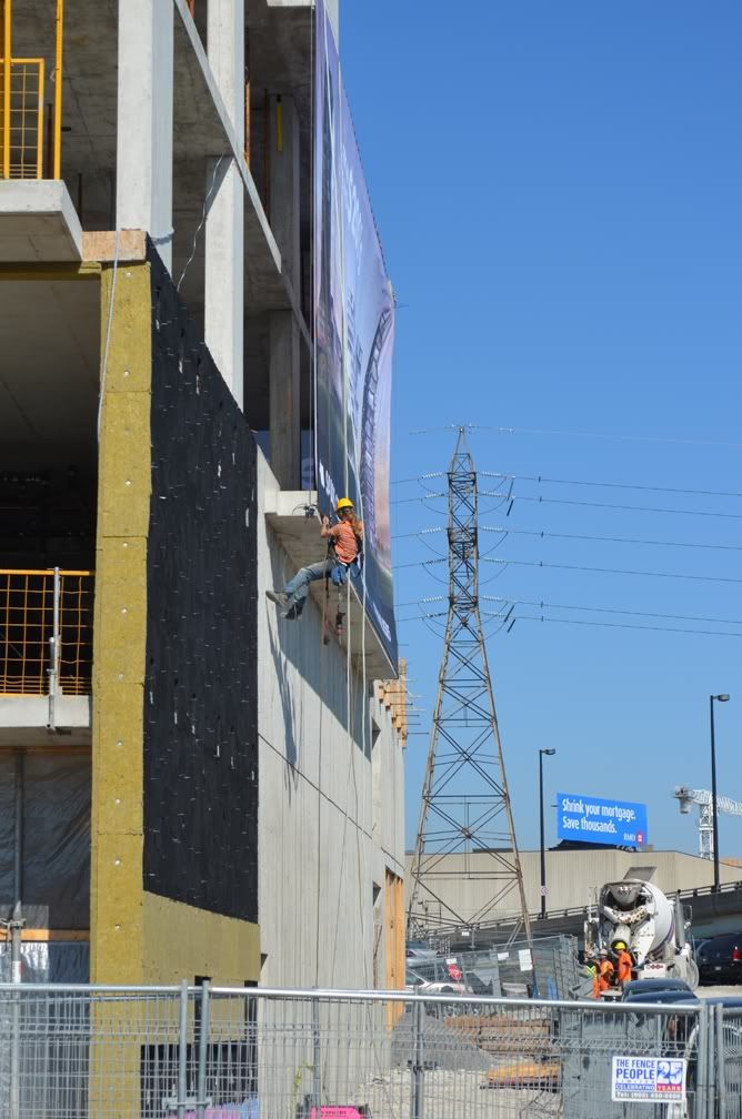
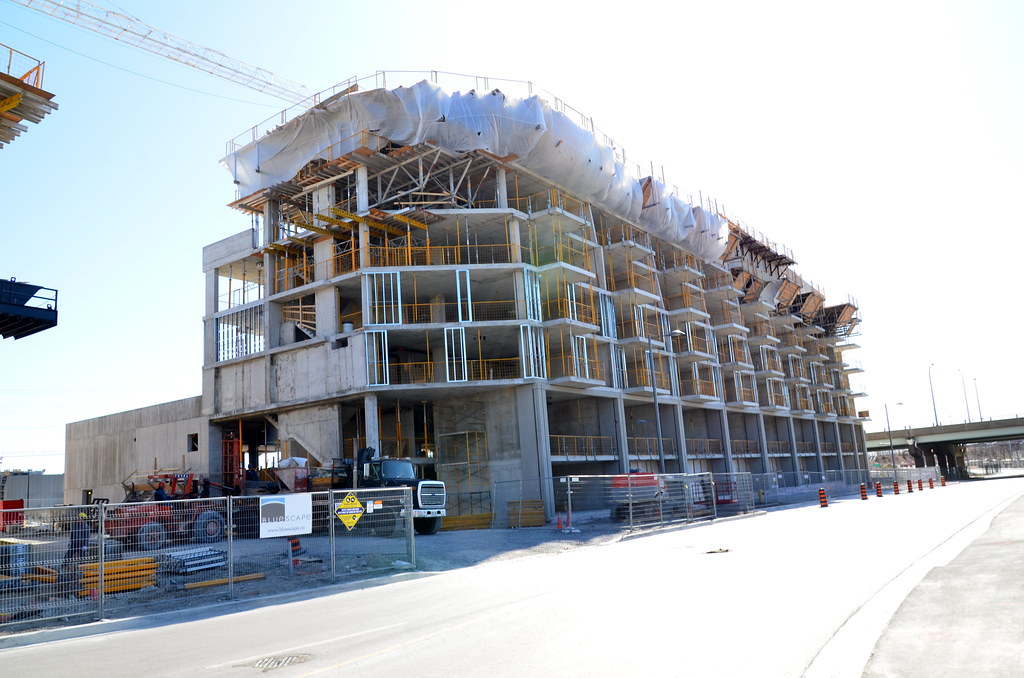
East faces.
March202012170.jpg


March202012171.jpg


March202012177.jpg


March202012179.jpg


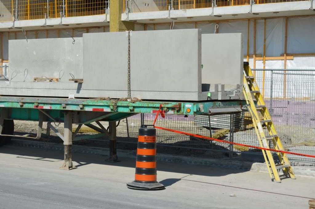
Precast?
March202012229.jpg


March202012187.jpg


March202012190.jpg


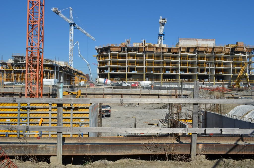
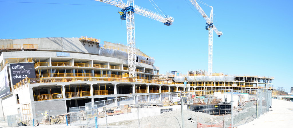
Looking east across the TCHC site at River City.
March202012245.jpg
 
Last edited:
New routes in West Don Lands offer a glimpse of the future riverfront

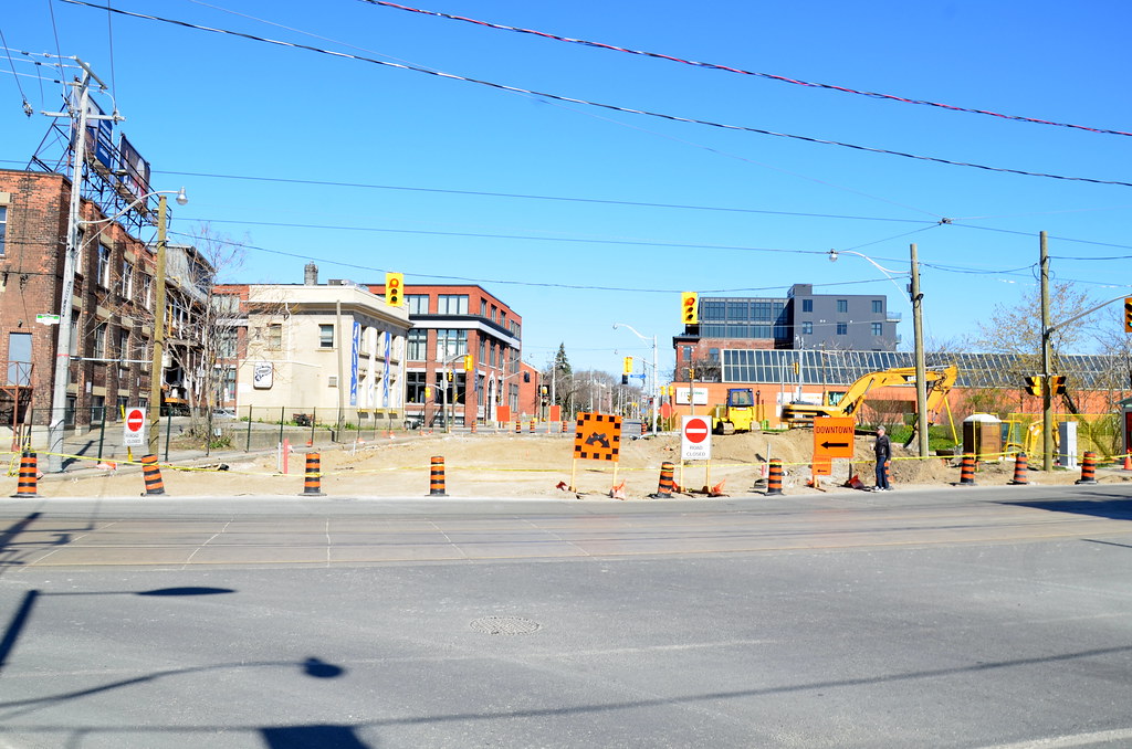
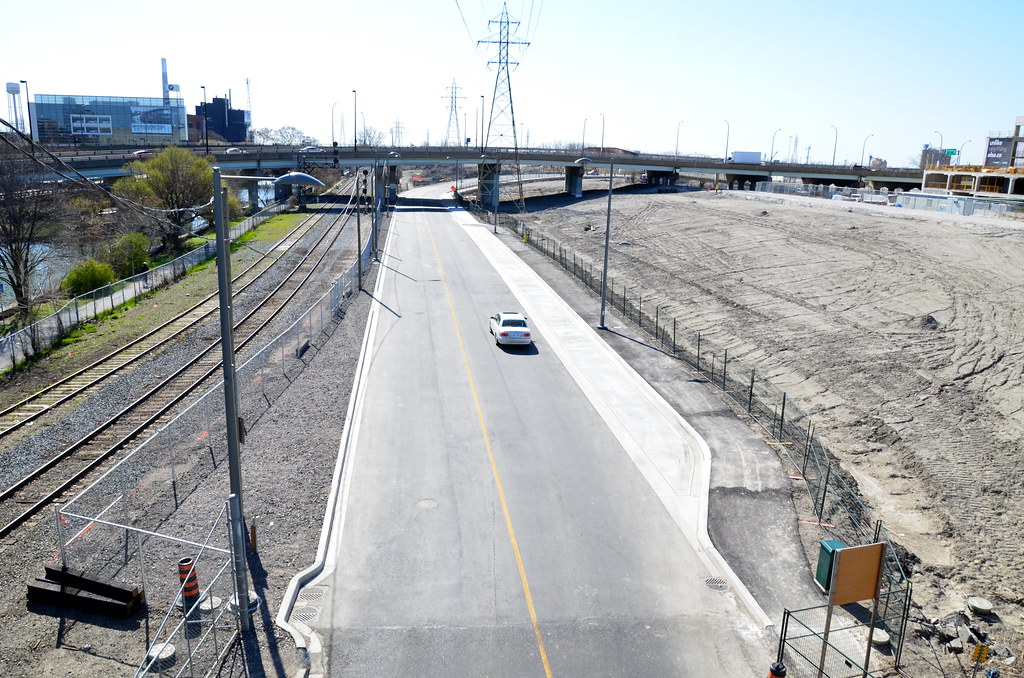
It’s peculiar to watch car after car turn right from King St. E. onto Lower River St. and drive south down a road that bisects what is basically still a construction site in the West Don Lands. The newly constructed road connects to a street that has been off-limits to motorists since 2006.

Bayview Ave. is finally open south of King St. Drivers along that stretch can now preview the construction of Don River Park and Underpass Park, as well as Lawren Harris Square. Other road construction in the area includes (see map):

1. Link road: The road connecting River St. to the Bayview Extension is now closed and won’t reopen. This area will be part of the huge berm that is being created for flood protection in the West Don Lands.

2. River St.: The road is torn up and closed to traffic between Queen and King Sts. It is being realigned and should reopen in about three months. A walkway into Don River Park will be built on the street’s east side, where the link road was formerly located.

3. Lawren Harris Square: Named for the Group of Seven painter, the street encircling the square joins Lower River St. and Bayview.

4. Streetcar: Construction on Cherry St. will begin soon to update sewer pipes and other utilities underneath the road. Once that’s done, a streetcar line will be built over the next couple of years on a separated right-of-way down the east side of the street. It is supposed to be finished in time for the Pan Am Games.

5. Streetcar loop: The turn around loop will be located on the east side of Cherry St.

6. Mill St., Front St.: The roads won’t be opened for a couple of years, but when that happens, they will connect to the Bayview extension
http://www.thestar.com/news/article...ands-offer-a-glimpse-of-the-future-riverfront

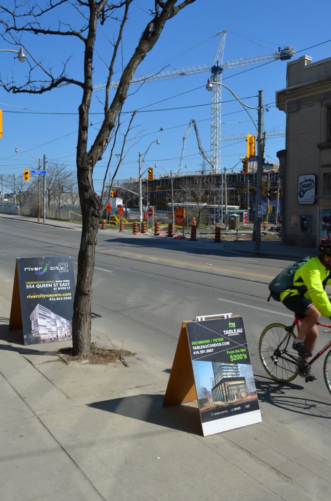
 
Question: Is this part of TCHC redevelopment or are all these market units?

No part of the 'River City' development is TCHC, it's all fairly high-end market. It's the development to the west, across River Street, that is by TCHC.
 
I just saw this in the minutes of the West Don Lands Construction Liaison Committee and it may now be sorted out but it would be interesting to know why they are not working flat out on the completion of the Flood Protection Landform (FPL). The fact it is not yet done is why the Don River Park is not yet open and until it is theycannot occupy River City or, I assume, the TCHC building adjacent to it.

In addition to the King-Queen triangle, the armored slope must also be completed before the FPL can be certified (target date was June 2012), but the construction start date for the armored slope is delayed.
• D. Jackson expressed concern about delays in the FPL certification as that is a TRCA requirement prior to Cityscape’s first condo occupancy scheduled for August, 2012. This is a critical issue as Cityscape is required to confirm occupancy dates for purchasers when the roof for the first building is completed, anticipated in late February or early March, 2012
• IO to review and confirm the revised FPL certification date.

See: http://corktown.ca/wp-content/uploads/2012/03/WDL-CLC-Meeting-Minutes-Feb-7-2012-Final.pdf
 
That sloped roof on the podium is looking great! So excited for this excellent S+P design :)
 
In addition to the King-Queen triangle, the armored slope must also be completed before the FPL can be certified (target date was June 2012), but the construction start date for the armored slope is delayed.

Where is the 'armored slope' supposed to be built?

The King/Queen triangle construction is proceeding at a ferocious pace. The little stub of River should be re-opened soon, unless they need it for a 'base camp' for the equipment digging the park. I'll be interested to see how that changes the traffic pattern -- will River to King take a bunch of the Bayview traffic?

There will be NO road between Bayview and the King/Queen triangle - there will be a pedestrian path only. The rebuilding of the section of River between King and Queen is certainly moving very fast and I suspect it may reopen in a couple of weeks. In future all Bayview traffic will go into the West Don Lands and, until Mill and Front Streets reopen will be sent out to King via Lower River.

The "armoured slope" is the top layer of protection on the "wet side" of the recently built berm. I assume it is composed of clay or some sort of fairly impermeable soil and is to prevent the berm being washed away in the event there is a 100-year flood down the Don. I cannot understand why they are not busily installing it because until they do they cannot open the Don River Park or, apparently, allow occupancy of River City and, maybe, the TCHC building.
 
There will be NO road between Bayview and the King/Queen triangle - there will be a pedestrian path only. The rebuilding of the section of River between King and Queen is certainly moving very fast and I suspect it may reopen in a couple of weeks. In future all Bayview traffic will go into the West Don Lands and, until Mill and Front Streets reopen will be sent out to King via Lower River.

Maybe I wasn't too clear. I understand that K/Q and Bayview won't be connected, but you will have the choice when you come down Bayview to come up the Gerrard/River ramp and proceed south on River to King. However, you will have to navigate lights at Gerrard, Dundas, Shuter, and Queen before turning right at King.

OTOH, going all the way down Bayview means you hook all the way through WDL and then have to turn left at King, which to this point has caused some fairly serious back-ups.

I'm just curious to see what Bayview drivers decide to do.
 

Back
Top