C-C-C
New Member
Could also a viewing platform on top or a zipline cross keating channel.


Where exactly are the streetcars supposed to go in the context of the bridges? Do they go on one of the bridges (the south)?Road paving resumed this week. Was a quiet summer here infrastructure-wise. I think there will be a big push now to complete the new Cherry St. portion from Lakeshore Blvd. East to Commissioners St. They're still paving as of 7pm this eve.
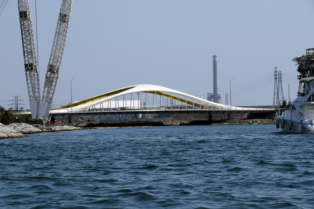
View attachment 506164
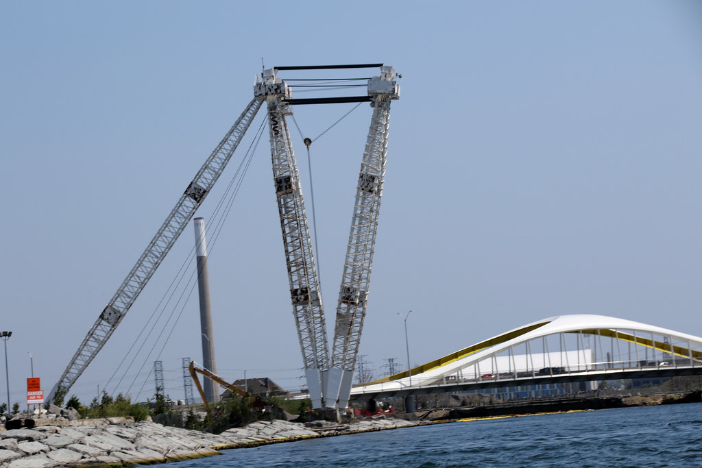
View attachment 506165
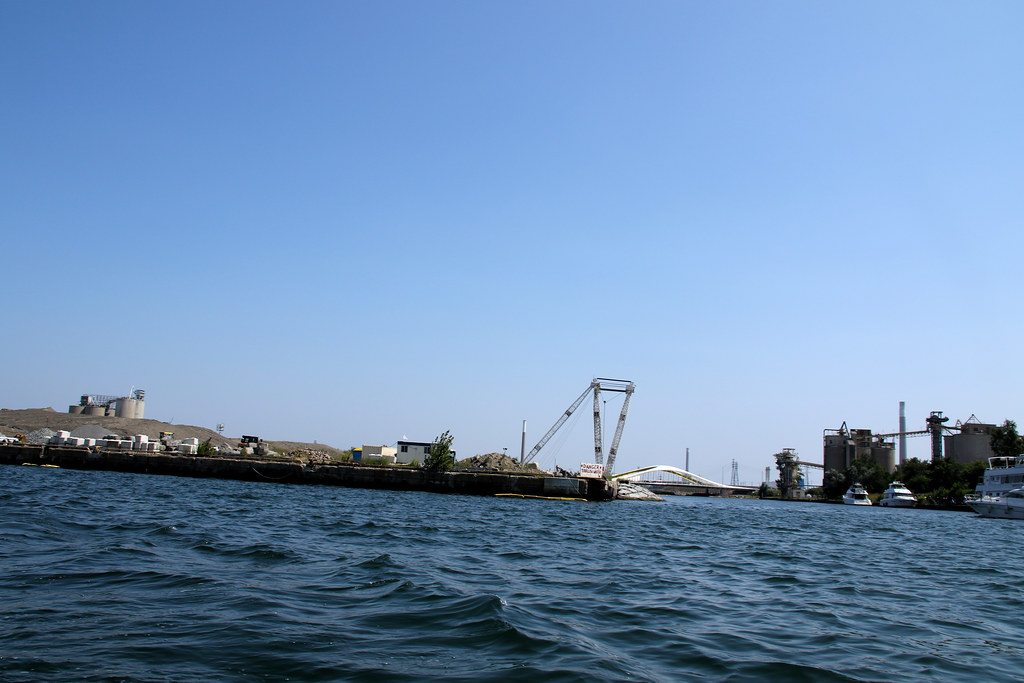
View attachment 506166
Where exactly are the streetcars supposed to go in the context of the bridges? Do they go on one of the bridges (the south)?
They did a design review panel back on Jan 25 2022 which outlined the plans for the extended LRT and those same plans were shown again during their review panel on island density. The Street car will no longer loop on Cherry St across from the distillery, will go under the rail corridor towards lake shore, through the realigned cherry St, across the new cherry St north bridge (the red one) as the bridge on the eastern side was set aside specifically for an LRT, then it will turn east at Commissioners (not go over it) and then they will create a new loop between "New Munitions St" and "New Villiers Park St." One day, the hope is that they would extend it further east along commissioners and connect it to Leslie barns. For more detail, you can check out their presentation here: https://www.waterfrontoronto.ca/sit...issioners + Villers Loop_Schematic Design.pdfWhere exactly are the streetcars supposed to go in the context of the bridges? Do they go on one of the bridges (the south)?
This is true but the link below rail berm on Cherry will be (long??) after the line along QQ to a new Commissioners loop as you describe. . A Report is coming to Executive Committee in October and, last I heard, there will be an October public meeting.They did a design review panel back on Jan 25 2022 which outlined the plans for the extended LRT and those same plans were shown again during their review panel on island density. The Street car will no longer loop on Cherry St across from the distillery, will go under the rail corridor towards lake shore, through the realigned cherry St, across the new cherry St north bridge (the red one) as the bridge on the eastern side was set aside specifically for an LRT, then it will turn east at Commissioners (not go over it) and then they will create a new loop between "New Munitions St" and "New Villiers Park St." One day, the hope is that they would extend it further east along commissioners and connect it to Leslie barns. For more detail, you can check out their presentation here: https://www.waterfrontoronto.ca/sites/default/files/2023-01/WDRP-January-25-2023_WELRT Commissioners + Villers Loop_Schematic Design.pdf
 www.eventbrite.ca