Toronto Lower Don Lands Redevelopment | ?m | ?s | Waterfront Toronto

The tug Beverly M 1 left The Cherubini dock area in Halifax (well Dartmouth) this morning and is currently destined to Montreal. So it may have nothing to do with the Lower Cherry St. bridge. Or Montreal could be an interim way point.

Screen capture from: https://www.marinetraffic.com/en/ais/home/centerx:-63.3/centery:44.6/zoom:11
View attachment 365562
LOIS M has been used for the bridges also and it bound for Quebec in the Labrador Sea at this time. In the past, it show 2 tugs for the bridge move and this is only showing one at this time Doesn't look like a bridge move.
 

Traffic Update

Upcoming Work: Upcoming Work: Don Roadway Closed south of Lake Shore Boulevard, November 30, 2021 – 2024
Don Roadway will be closed south of Lake Shore Boulevard starting at 7 a.m. on November 30, 2021. This section of Don Roadway is being rebuilt as part of our design for flood protection.
63923b0c-09d9-1d5f-5433-b18c83c986e5.jpg
Above: This map shows the available routes through the Port Lands as of November 30, 2021. Recommended routes to and from the Port Lands and Don Valley Parkway are described below.
WHAT TO EXPECT
  • To access the Port Lands from the Don Valley Parkway (DVP):
    • Turn left on to Lake Shore Boulevard eastbound
    • Turn right on Saulter Street (access is also available via Bouchette Street, Logan Avenue, or Carlaw Avenue, which intersect with Commissioners Street)
    • Turn right on to Villiers Street
    • Turn left on to Cherry Street
  • Access to the DVP from the Port Lands will be via Lake Shore Boulevard East:
    • Take Villiers Street eastbound
    • Turn right on to Saulter Street
    • Turn left on to Commissioners Street
    • Turn left on to Carlaw Avenue
    • Turn left on to Lake Shore Boulevard westbound
    • Turn right on to the DVP
5cc5eaf8-f8ec-4efc-a941-52270eac33c7.png
Upcoming Work: Lane diversions on Lake Shore Boulevard East between Cherry Street and Carlaw Avenue, January 2022-December 2024

Starting in January 2022, traffic on Lake Shore Boulevard East between Cherry Street and Carlaw Avenue will be diverted to the north side of the road, and in the median east of Don Roadway. This lane configuration will change a few times over the next two years to enable works. Updates will be provided through future construction notices.

These lane diversions are needed while we rebuild the Lake Shore Bridge over the Don River, and rebuild Lake Shore Boulevard East between Don Roadway and Carlaw Avenue, including upgraded sidewalk and bike facilities. Lengthening the Lake Shore Bridge is a critical element of our design to protect this area from flooding. Widening the bridge makes more room for people who cycle and walk and new green space while still moving vehicular traffic.

WHAT TO EXPECT:
  • Starting in January, Lake Shore Boulevard East will be reduced to two lanes eastbound and one lane westbound between Cherry Street and Don Roadway.
  • Lanes will be marked using traffic barrels and signage.
  • West of Carlaw Avenue to Don Roadway, there will be two westbound lanes. Driving west on Lake Shore Boulevard, approaching Don Roadway, the right lane becomes a dedicated turn lane onto the Don Valley Parkway.
  • Between Don Roadway and Carlaw Avenue, lanes shift to the north, using part of the westbound lanes and the median to provide two eastbound lanes.
  • Lane diversions will be marked using traffic barrels and signage, and flagpersons will help direct traffic where necessary.
5cc5eaf8-f8ec-4efc-a941-52270eac33c7.png
5066a427-0446-06af-5d13-917f11d1df37.jpg
Above: A map showing the lane configuration on Lake Shore Boulevard East, on the east side of the intersection with Cherry Street.
4f928d30-ae84-7fd8-c58d-fd076a2a0208.png
Above: A map showing the lane configuration on Lake Shore Boulevard at the intersection with Don Roadway.
We recognize the challenges and inconveniences construction presents to local communities. While not all impacts can be completely alleviated, we have a Traffic Management Plan (TMP) to help address congestion and other construction impacts.

The studies that inform this plan showed that there is a higher demand for eastbound lanes on Lake Shore Boulevard East. For this reason, two eastbound lanes are being left open.

The plan is a live document that is being evaluated and revised as the project progresses. Adjustments we can make include changes to traffic signal timing, traffic signal coordination and turning restrictions.
5cc5eaf8-f8ec-4efc-a941-52270eac33c7.png
Ongoing Work: Lane Reductions on Lake Shore Boulevard East at Cherry Street

To realign Cherry Street, we began work at the intersection of Cherry Street and Lake Shore Boulevard East in October 2021. This work at the Lake Shore Boulevard East and Cherry Street intersection is expected to be complete in early 2022.

WHAT TO EXPECT
  • One lane eastbound and one lane westbound at the intersection of Cherry Street and Lake Shore Boulevard East.
5cc5eaf8-f8ec-4efc-a941-52270eac33c7.png

Update: Bike Detours​

Upcoming Work: Lower Don Trail Cycling/Pedestrian Bridge, Permanent Closure starting December 6, 2021

The last construction notice stated that the bridge over the Don River on the Lower Don Trail and the multi-use trail along Lake Shore Boulevard between Don Roadway and Logan Avenue would start on December 1, 2021. These closures have been pushed to December 6, 2021. A more detailed notice will be sent next week, in advance of the closures.
5cc5eaf8-f8ec-4efc-a941-52270eac33c7.png

Construction Update​

Cherry Street South Bridge
ffd6110a-33b9-9bb7-0b91-cbacbdf07678.jpg
Above: The Cherry Street South Bridge is almost ready to head to Toronto, where it will be installed over what is currently the Polson Slip. Eventually it will span the new mouth of the Don River into Lake Ontario. The bridge is scheduled to be delivered in December. Follow along on Twitter or with the hashtag #BridgeWatchTO.
 
It would be nice to see the Puente de Luz relocated to the Port Lands once they start building the rail deck. Hope they consider that option.
 
21D6140A-D967-4A2F-AFD4-DEBE68CE08B3.jpeg
Will that new yellow bridge going over the Polson Slip be located where I’ve highlighted in the red circle above? If so, what is the plan for the shipping channel bridge??
 
View attachment 365711Will that new yellow bridge going over the Polson Slip be located where I’ve highlighted in the red circle above? If so, what is the plan for the shipping channel bridge??
Yes the new Yellow Bridge" is for the crossing just north of Polson Street. (The next one to arrive, spring 2022, is the one for the vehicular road over the Keating Channel, beside the LRT one which was Bridge #1)

The City and Ports Toronto are about to start a major rehabilitation of the Shipping Channel Bascule Bridge. See: http://app.toronto.ca/tmmis/viewAgendaItemHistory.do?item=2021.MM35.36
 
Last edited:
Anyone have a name of the tugs that will be bring the bridge to Toronto?? The 2 tugs that have brought the bridges to Toronto before are currently elsewhere.

I see they are not using a turntable to off load the next bridge.

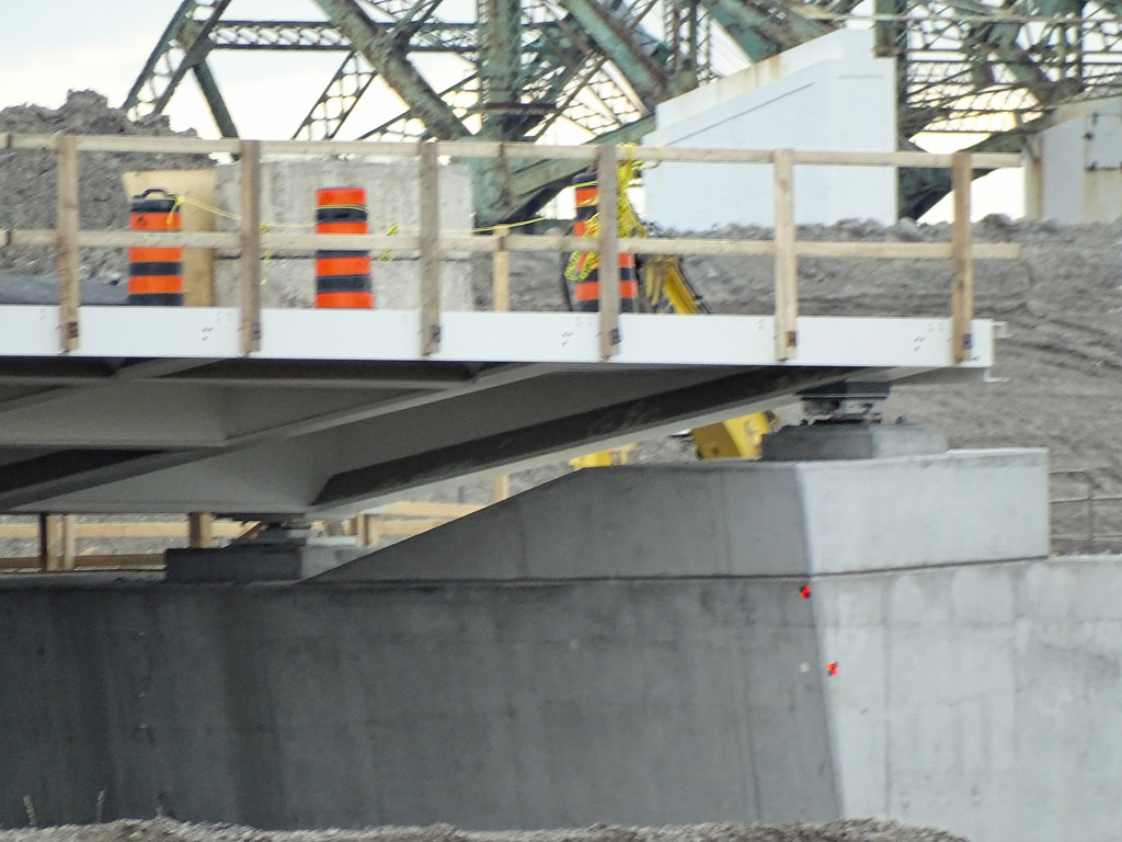
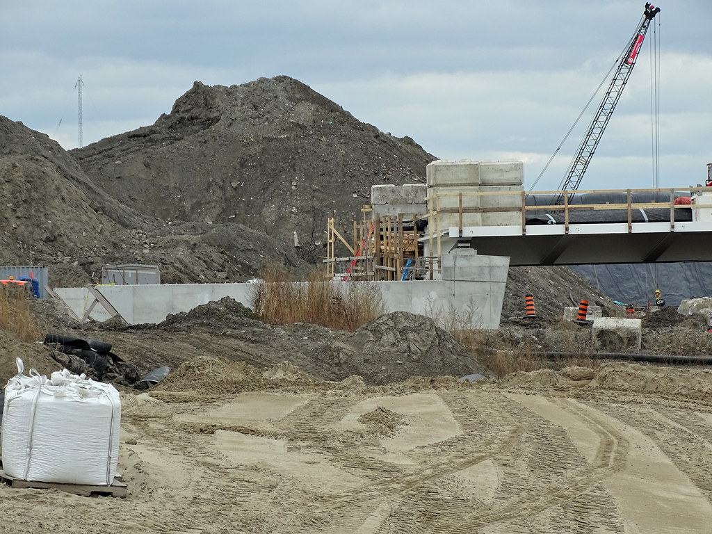
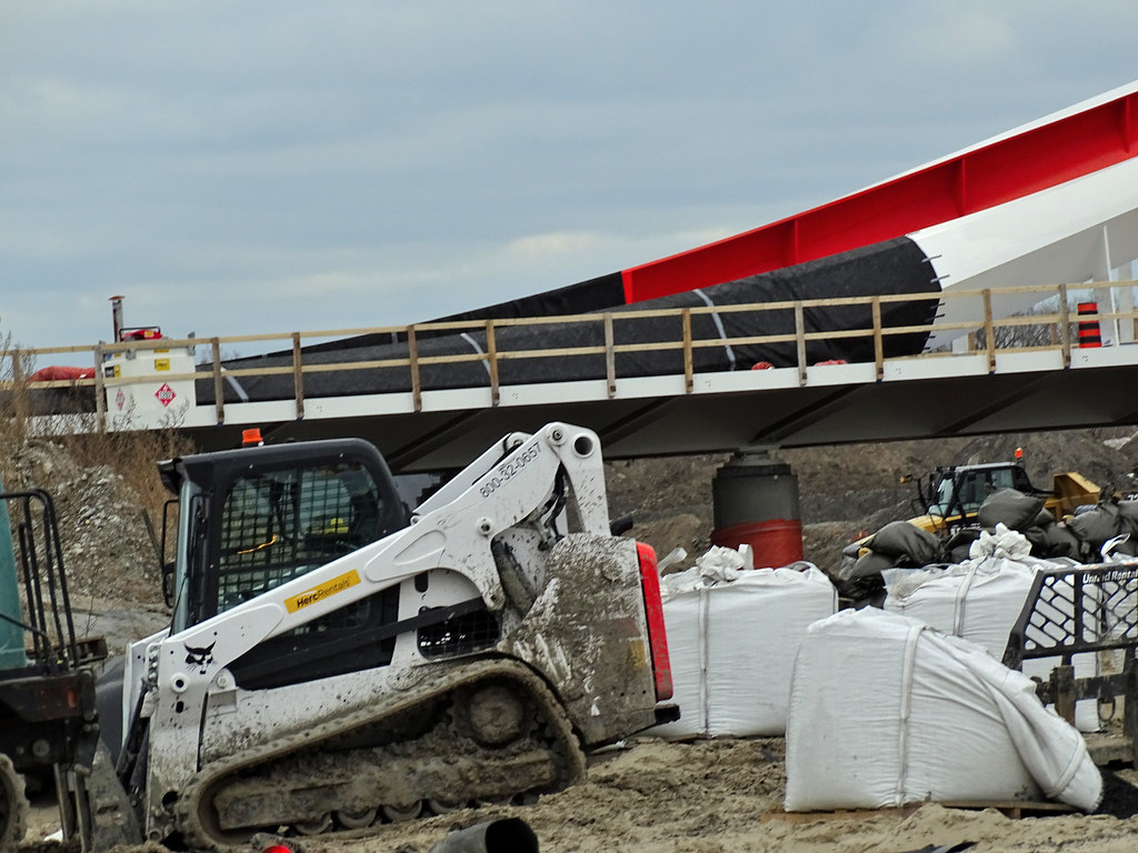
Noticed today that Commissioner St bridge sitting on pier bearing support with counterweight on the east end of the bridge. Also, no pier supports for the LRT bridge.
 
Looks like the bridge is on the move as I don't see anything around Cherubini Metal Works area.

Edit:
If the Beverly MI is pulling the bridge, it did not follow the route of the last 3 bridges. It went under the Confederation Bridge this time and showing 2 items at this time.

Nov 27
51712681215_f9f099b58a_b.jpg


No foundation and pier for the LRT Bridge.
51711016047_f446f6c1af_b.jpg


Counterweight on the east end
51712074933_58444b614d_b.jpg

51712681490_0778274485_b.jpg

51712681495_b7e623351f_b.jpg

51711800746_86702dd85e_b.jpg

51711800981_b9a5318be2_b.jpg


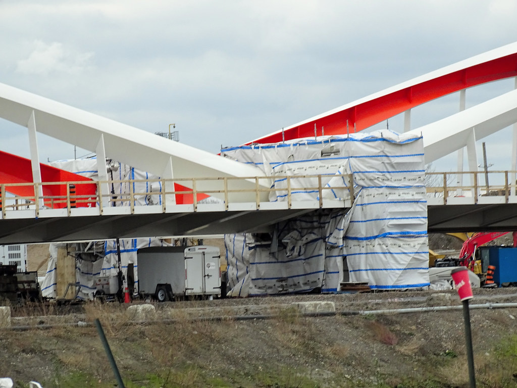
Heated area for welding the joints to make it one bridge
51711016662_221ddd3a6d_b.jpg

51712682095_1ec0309177_b.jpg
 
Last edited:
The Beverly MI is nearing the mouth of the St Lawrence with the bridge. It is now saying destination Toronto doing 7.9 km and 699 nm to go to off load the bridge.
 
The bridge is east of Quebec City and should past it late today. Would say off hand that the bridge could be here Friday or Sat. It is currently doing 9.7 km
 
The bridge is east of Quebec City and should past it late today. Would say off hand that the bridge could be here Friday or Sat. It is currently doing 9.7 km
And no stop signs. They will likely be eating as they "drive".
 
And no stop signs. They will likely be eating as they "drive".
There are stop signs at the locks or where traffic is heavy. Most likely they may have to stop for fuel. Eat and sleep in shifts as it is moving.
 

Back
Top