Voltz
Senior Member
PoliticsI ask again, why can we not build the tracks in the roadway, as in Scarborough? Why is every option for rapid transit in this damn city one megalomaniacal overbuilding option vs another?
PoliticsI ask again, why can we not build the tracks in the roadway, as in Scarborough? Why is every option for rapid transit in this damn city one megalomaniacal overbuilding option vs another?
It would be insanity to split up the two grade separated portions (Crosstown tunneled and Crosstown West tunnel) with a short at-grade portion from an operations standpoint. You’d essentially be taking the very reliable, Subway-esque service and ramming it in the middle of a road and forcing it to interact with cars without TSP (the City doesn’t allow full TSP as we saw with phase 1). Making this small portion on-road would greatly reduce the reliability and ability to run high frequency service on the grade separated portion of the Crosstown West.I ask again, why can we not build the tracks in the roadway, as in Scarborough? Why is every option for rapid transit in this damn city one megalomaniacal overbuilding option vs another?
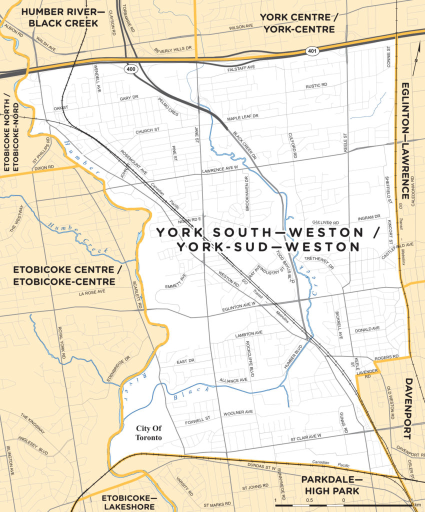
The floodplain was originally farmland. The trees were planted as a buffer between the sports field and the future Richview Expressway (which was never built), now a berm.
Do some research.A small nitpick:
The area was not "originally farmland" - one has to go back another 10,000 years to say "originally".
And for that 10,000 years, it was an area for encampments, hunting, fishing, and perhaps farming, yes.
That distinction may not be important to transit planning, but from a heritage perspective - this area is kind of the Route 66 of pre-contact habitation and then Canada's early colonial exploration period. So perhaps a bit more sensitive than the average floodplain.
- Paul

It would be insanity to split up the two grade separated portions (Crosstown tunneled and Crowwtown West tunnel) with a short at-grade portion from an operations standpoint. You’d essentially be taking the very reliable, Subway-esque service and ramming it in the middle of a road and forcing it to interact with cars without TSP (the City doesn’t allow full TSP as we saw with phase 1). Making this small portion on-road would greatly reduce the reliability and ability to run high frequency service on the grade separated portion of the Crosstown West.
Any thought of the line going west of the Mount Dennis tunnel will require a flood gate to prevent water getting into the east section if the west section was on the surface. This was in either an EA report or with consultations on any west extension. Going underground was rule out due to cost to protect the tunnel from water as well been deep.And yet this is what will probably happen if the new group succeeds in blocking the elevated option.
Tunneling under the flood plain would be difficult even if planned from the beginning. It will be even harder now as the portals on both sides of the flood plain are being designed, as well as shallow tunnel sections leading to those portals. A fully underground plan will require a massive redesign, hiking the costs and extending the project timeline.
If not elevated, then the only other practical option will be using dedicated road lanes on the surface. Even that might require a portal redesign if they need to switch from side of the road to street median, but at least no change in the elevation of tunnels leading to the portals.
Btw that won't have much impact on the line's speed or reliability. That section of Eglinton has very few traffic intersections and long blocks between them, so the interaction with cars will be minimal.
But the top frequency that the line can sustain will be worsened, because of the traffic light cycles.
It is based if they indeed ignore the NIMBYs.Based
Think you made a typo bud, that 24 should be a 34.When will the crosstown LRT be fully operational from Renforth to Kennedy? Is 2024-25 realistic?