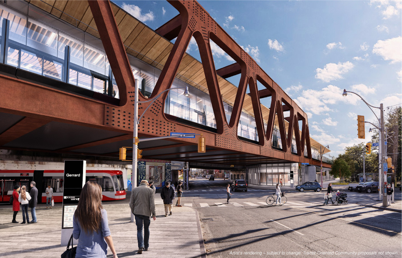
Is it me, or when stitching all those wonderful maps that Mr. 42 has provided in my head (may not be advisable) the proposed line seems to meander around like drunken sailor in a frigate on rough seas...or a winding back road through the Rockies? And if so, is there a rhyme and reason for this?
...while I can appreciate this line can't go as the crow flies, but the crazy direction changing I've been seeing is rather surprising...to put it mildly.
There are some key concepts here; the idea is not a new one; that a single line should serve a series of key targets, not merely follow a straight-line.
So, what you see a product of several goals.
1) Relieve Line 1 (Yonge portion) by creating a new route between Line 2 and downtown (which specifically relieves the Bloor-Yonge interchange).
2) Then you see a specific goal x 2 at the extreme west, one is to serve the CNE/Ontario Place, the other is to serve Liberty Village.
3) You do see a goal to have costs by corridor-sharing w/GO
4) There is a clear notion than a E-W line through downtown ought not to pass too close to Union as that would be redundant.
The issue is not merely one of conveniencing more riders, it's one of not overloading the local sidewalks/path network and serving a greater range of destinations.
5) There is a desire to maximize possible gains in density and hit other key nodes (Distillery District as example)
I don't want to overstate the link to the O/L here, as the Relief line did something quite similar, just with a smoother underground trajectory near the crossing of the Don River due to depth
That, of course, somewhat increased costs and produced other trade-offs vs the current concept.
There was no R-L contemplated west of University so we really can't say what that would have looked like, but a south-west trajectory was definitely discussed previously in order to hit that Liberty Village density and relieve
King car in particular.


