News   May 17, 2024
 2.5K     3 
News   May 17, 2024
 1.6K     3 
News   May 17, 2024
 10K     10 

Old Toronto Road Maps

willg

New Member
Member Bio
Joined
Apr 4, 2010
Messages
6
Reaction score
0
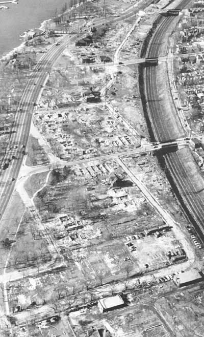
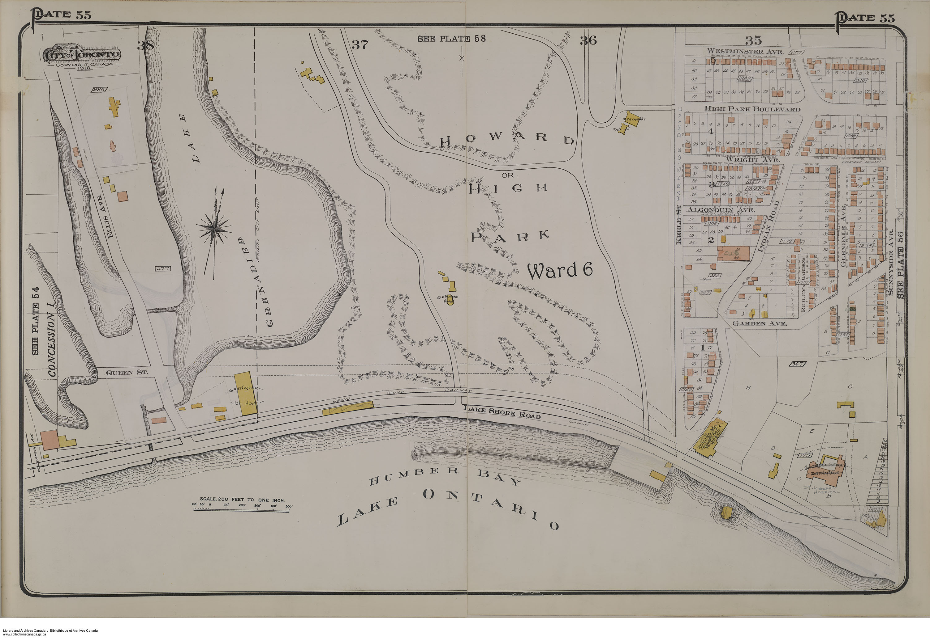
Does anyone know of a website that has some old road maps of Toronto? I have visited some sites that have maps in the early 20th century, but I'm more interested in 1950's and beyond in order to track suburban development, evolution of road grid that type of thing. Also, I assume that one would have access to such documents at the Toronto archives?
 
Willg: Let me second that thought as I am just as interested as you are - I recall how I received my first Toronto map in 1973: I sent a request to what I thought was the "Toronto Metro"(what I thought the TTC Subway was called)but instead my letter was sent to the Municipality of Metropolitan Toronto which sent me a detailed 1973 Street Map which I still have to this day...Let me suggest recent era maps from the 70s and 80s by companies like Allmaps and MapArt which I also have in my collection...

Ebay and other services can be a source of maps but it can be hit and miss-every now and then someone places a map or atlas that fits your exact need.
An online service with a chronoligical Toronto map catalog would be a welcome service to use...

Long Island Mike
 
I have visited some sites that have maps in the early 20th century, but I'm more interested in 1950's and beyond in order to track suburban development, evolution of road grid that type of thing.

I have a fairly large collection of Toronto road maps. I too like the ones that show suburban development. I particularly like ones that have dotted lines for proposed or under construction highways. I have a map that shows the full Spadina Expressway as well as one that shows the unbuilt Crosstown Expressway. Also have many showing the 401 with some sections done and others still under construction. These maps are not hard to find and are usually $1. Try the North Market on Sundays or better yet the Old Paper Show. The folks selling them have no idea that someone like me would pay much more for ones that show things like this. To them its just another gas station map.
 
I would like to see how the streets were laid out in South Parkdale and High Park from before 1955, before the Gardiner Expressway redrew the road layouts. Especially where old photos could be matched with the maps.

For example, Parkside Drive and Indian Road actually merged before going under the railway bridge.
f1231_it1273.jpg
 
In the FWIW catagory:

I have a number of red, blue, and gold, heavy aluminiun foil drinks coasters from

CLUB TOP HAT!

Regards,
J T
 
Go to the Sunday Antiques Market at St. Lawrence Market. There's several booths that sell old road maps and postcards and I picked up a c1960 Toronto road map for 2 bucks. You'll find maps from various times and places with a little bit of patience going through the large piles of them.
 
I sometimes look at www.ebay.com in the Collectibles>Transportation section for road maps and atlases - I found the following items that I feel that UT members would find interesting:
Might's 1965 Toronto Street Guide/map - Minimum bid: $2.75US Item number: 270558578691 Until April 11th 9pm EDT - This looks like a good one to me for price and condition...
Might's 1969 Toronto Map - Item number: 230406474705 - this one looks good but the seller may have it priced a little too high...
Toronto by TTC color booklet-1985 Item number: 220407105308 This shows how to use the TTC to get around and see Toronto-I have a 1984 copy myself-and the minimum price is about what it is worth $4.
And I found this interesting City atlas: Geographia Road Atlas of Buffalo,NY (from the 50s?) Item number: 350338375733 It's not Toronto but being that Buffalo is in the regional area some may find this interesting-I definitely did!

I will note the suggestions on finding maps for a reasonable price in Toronto and I will keep them for later reference. LI MIKE
 
Last edited:
More maps found at EBay for a reasonable price...

Everyone: From looking at the Canada Road Maps in the Transportation section of www.ebay.com today 4/29 I found these reasonable priced maps today: Esso Toronto/Hamilton/Ottawa;Mobil Buffalo/Niagara Falls/Rochester and Esso Alberta/BC
Item # 160427716659 Minimum bid $2 seller: JP,Jr.

And a rather expensive old Toronto map: Item # 110521693723 which is old but I believe the seller has overpriced it...
LI MIKE
 
I would like to see how the streets were laid out in South Parkdale and High Park from before 1955, before the Gardiner Expressway redrew the road layouts. Especially where old photos could be matched with the maps.

For example, Parkside Drive and Indian Road actually merged before going under the railway bridge.


e010762219-v8.jpg
_
 

Back
Top