


Uncle Teddy
Senior Member
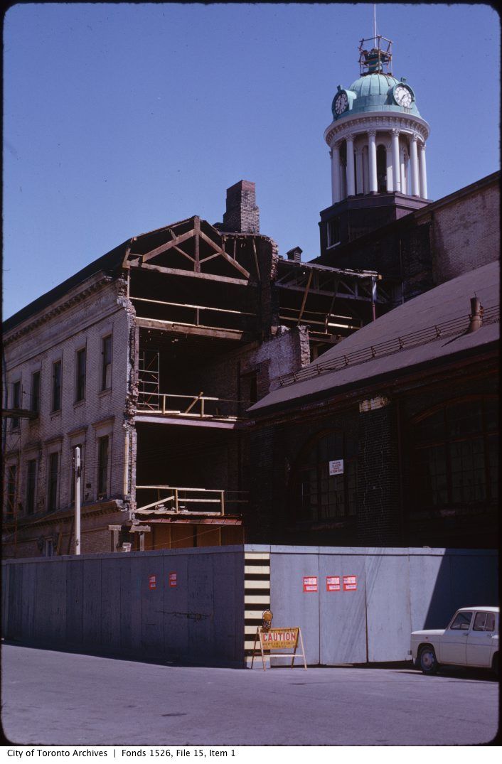
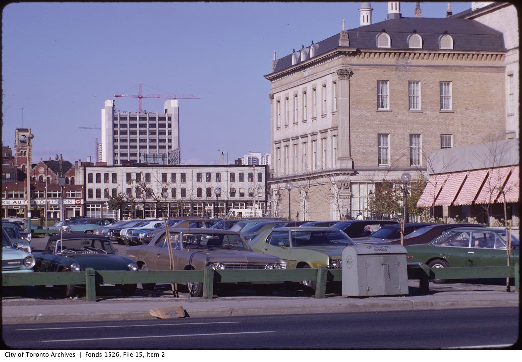
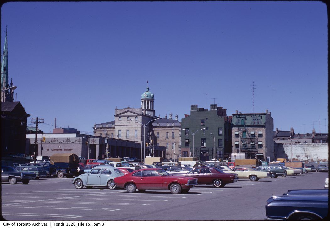
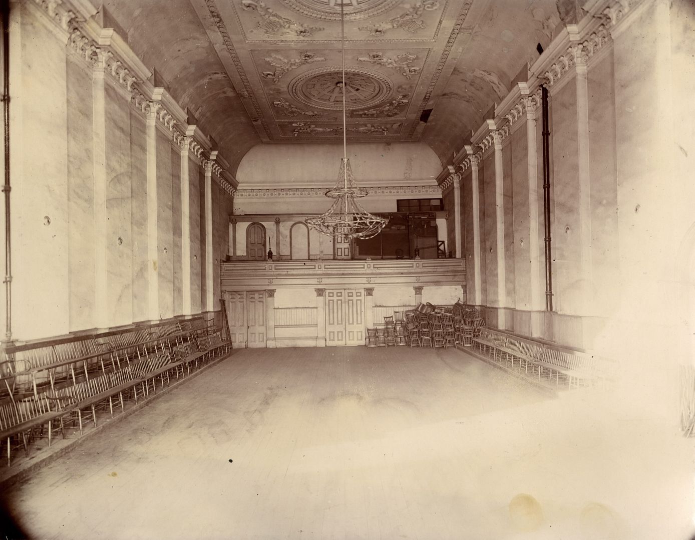
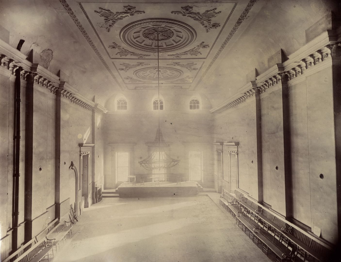
Great shots of the King Edward. I had a hard time placing the shots considering all the parking lots surrounding it at the time.
|
|
|


The very last structure of that vintage that I can recall that survived on Bay Street into the 1990s was a bit further north, on the southeast corner of Bay and Charles: an old house that contained a divey pub, the Ploughman's Daughter. I drank there frequently until it was torn down for the 1121 Bay Street Condo (1998 or thereabouts).
Bay Street between Queen and Bloor was the result of the civic project in the 1910's and 20's known as the Terauley Extension, which created a new north-south route west of Yonge Street by linking up a number of smaller north-south streets such as Chapel, St. Vincent and North Streets (accounting for the present-day jogs north of College and the absence of any 19C buildings on this stretch.) What emerged mid-century was a street of car dealerships and parking lots until the condo boom of the mid 1980's.
One interesting block is the one bounded by Bay, Irwin, St. Nicholas and Inkerman. Mr. Naylor documented the block in the 1970's, prior to its demolition and the construction of "Polo Club I", one of the better designs urbanistically of the 1980's, particularly in how it reinforced the scale and texture of St. Nicholas Street.
The block in 1924:


Also an interesting block because of the jog in Irwin - and St Joseph, which has very early origins.
1842
View attachment 16136
1857
View attachment 16137
1862
View attachment 16138
1880
View attachment 16139
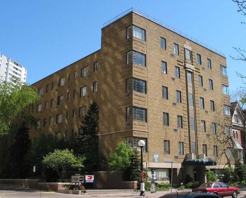
Clover Hill
Cloverhill Apartments


Two views of Broadview and Gerrard. 1911 and 2013
View attachment 16067View attachment 16068 View attachment 16074 Third photo from Steve Munro`s website.
The British influence! They still use that term.I like how it says "Chemist" instead of "Pharmacy" in the older photo.


