


Montreal88
New Member
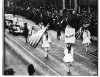
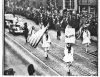
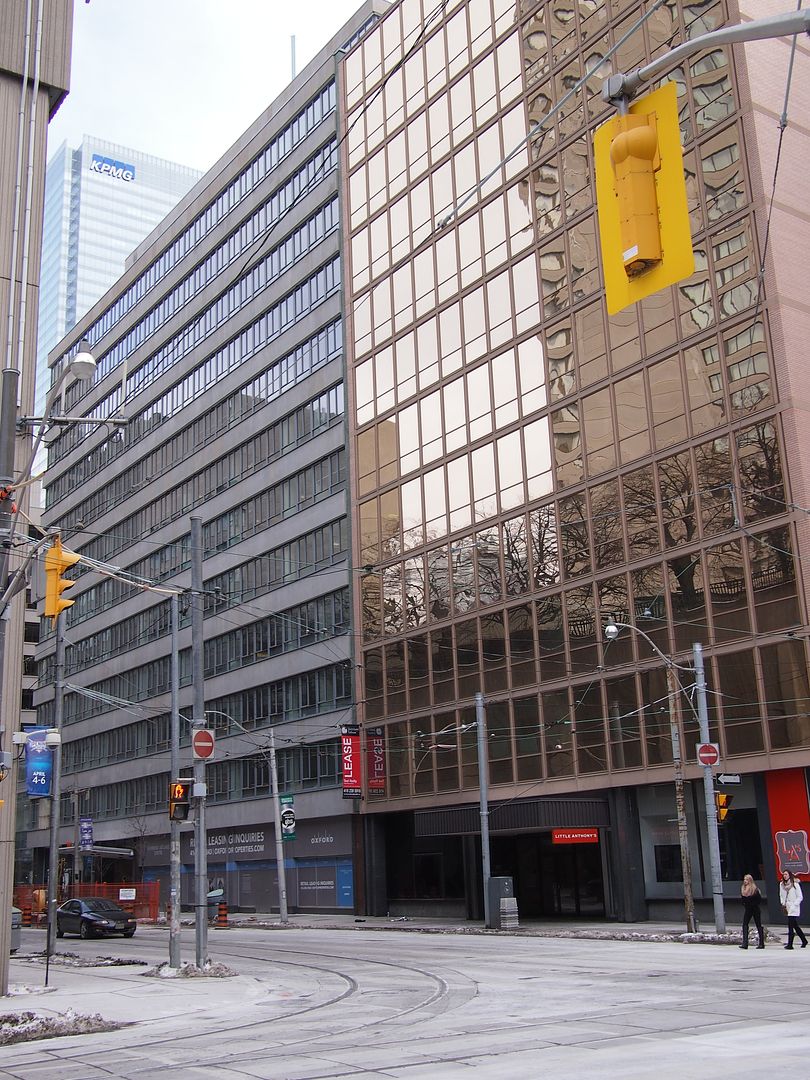
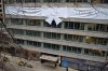
This photo was posted on the "Montreal Then and Now" Facebook group. It is a march plugging War Savings Certificates, and features Greek flags - so probably WW2 vintage. Rather than being in Montreal. it appears that it may actually be in Toronto. There was a "New Empress" hotel at the SE corner of Yonge and Gould. Can anyone come up with views of this intersection while the hotel was there to confirm (or not) our suspicions?