I've since been able to expand the list and partially answered my old question. Bolded names mean the building is partially or wholly still standing.
Number 1 - 149 College Street. Former Toronto Police Headquarters 1931-1957, though built as the Toronto Athletic Club, now part of Rotman.
Number 2 - Bay Street near Dundas, demolished
Number 3 - Claremont St, north of Queen, demolished, now a modern fire hall
Number 4 - Dundas St E, East of Parliament, demolished for Regent Park in 1950s
Number 5 - 135 Davenport Road (Now an EMS station)
Number 6 - 1313 Queen St West, Parkdale (now a gallery)
Number 7 - 756 Ossington Avenue (just north of Bloor, now a daycare)
Number 9 - Keele south of Dundas, demolished
Number 10 - 97 Main Street (now a community centre)
Number 12 - 2398 Yonge Street, north of Eglinton (now the Anne Johnston Health Station)
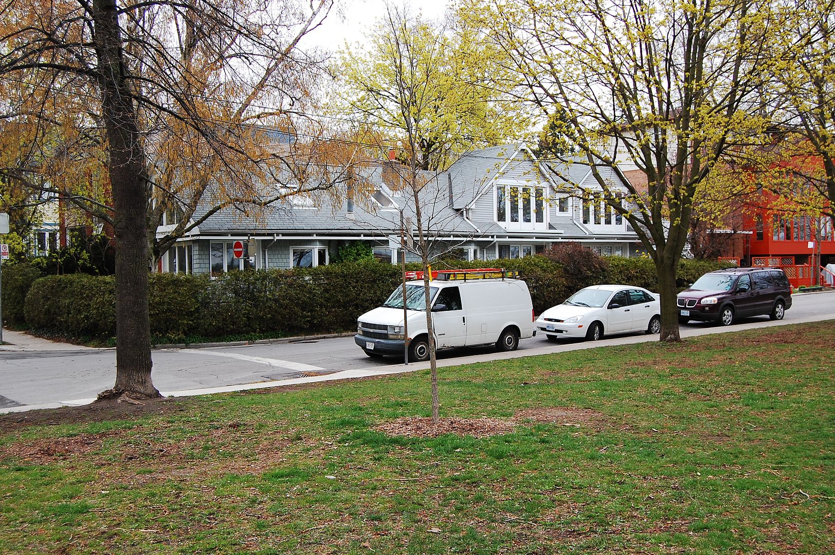
Number 13 - 674 Markham Street (Now an EMS station)
Still missing 8 and 11. 11 was the "Hillcrest" station, but unable to locate the building or site.
What time period are you looking at? From City Directories
1912:
Headquarters were at City Hall
Number 1 - 8-10 Court Street (with the mounted police at 6 Court)
Number 2 - 59 Agnes (Dundas W)
Number 3 - 501 Richmond W
Number 4 - 246 Wilton (Dundas E)
Number 5 - 860 Yonge
Number 6 - 1313 Queen St West
Number 7 - 500 Ossington Avenue (same location, different number?)
Number 8 - 130 Pape Ave
Number 9 - 902 Keele
Number 10 - 178 Main Street
1922:
Headquarters were at City Hall
Number 1 - 8-10 Court Street
Number 2 - 75 Dundas W
Number 3 - 31 Claremont
Number 4 - 466 Dundas E
Number 5 - 135 Davenport - with mounted police (substation 2398 Yonge)
Number 6 - 1313 Queen St West
Number 7 - 756 Ossington Avenue
Number 8 - 126 Pape Ave
Number 9 - 902 Keele
Number 10 - 97 Main Street
Number 11 - corner London & Markham (674 Markham now an EMS station)