Scrub
New Member
I love the shot of the garbage pile!
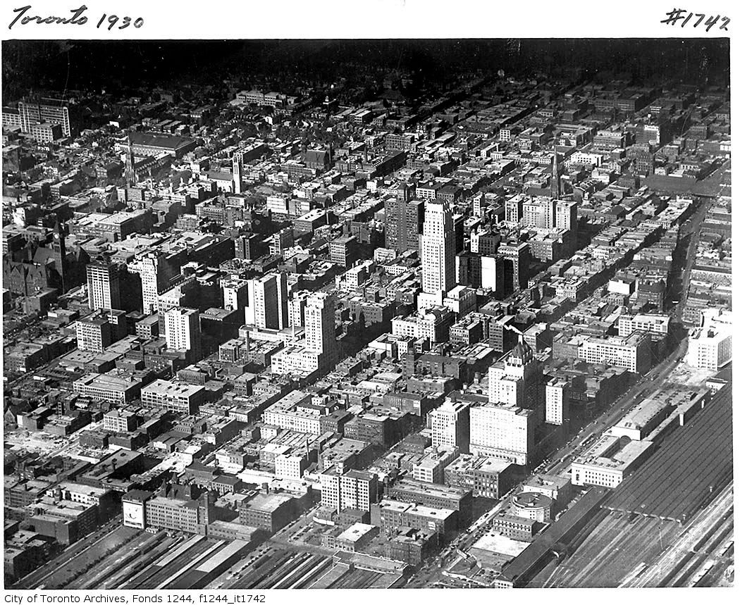
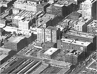
(Could be) S/W corner of Wellington and University.
If it is, the building is still there, albeit with a different skin applied by O + Y during the 70's.
Regards,
J T
Woodbridge - Then and Now
That cute house next to the drug store is at 405 Woodbine Ave.
Sweet smell of success!
In the BlogTO post on Toronto of the 1890s, I think I have ID'd a photo of Queen East.
1891:
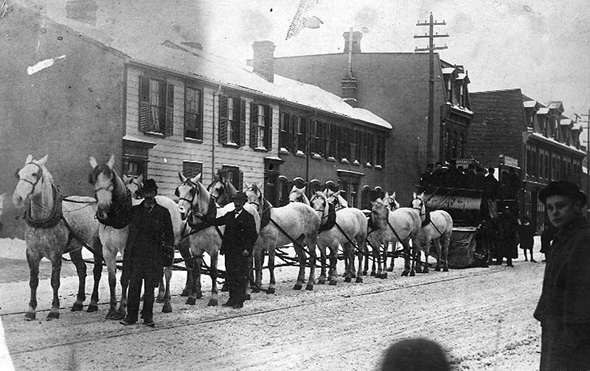
Today (287-301 Queen St E):
Google Map: http://maps.google.ca/maps?hl=en&q=...=l1aVUj9KBDTV_3Tpi5dYRA&cbp=12,200.06,,0,2.94
Can't take a photo because I'm not even in Canada anymore. The 2-storey rowhouses are gone, but the 3-storey commercial units remain. Note the gables, mansard, and pattern of 4+1 small/large top floor windows on the rightmost row. While Ontario Paint & Wallpaper continues strong the other retail in these buildings seems to turn over constantly with truly awful shops. Further east, near Queen & Sherbourne, there is more life (the new flower shop EcoStems is a winner, as is well-done vintage shop Upside Dive).
Thanks for sharing the Woodbridge comparisons, Toronto Macedonian. It's not easy finding some of those older photos online.
I love the shot of the garbage pile!
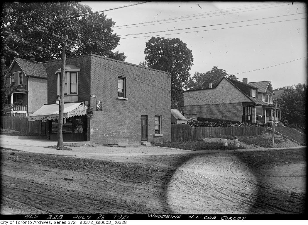
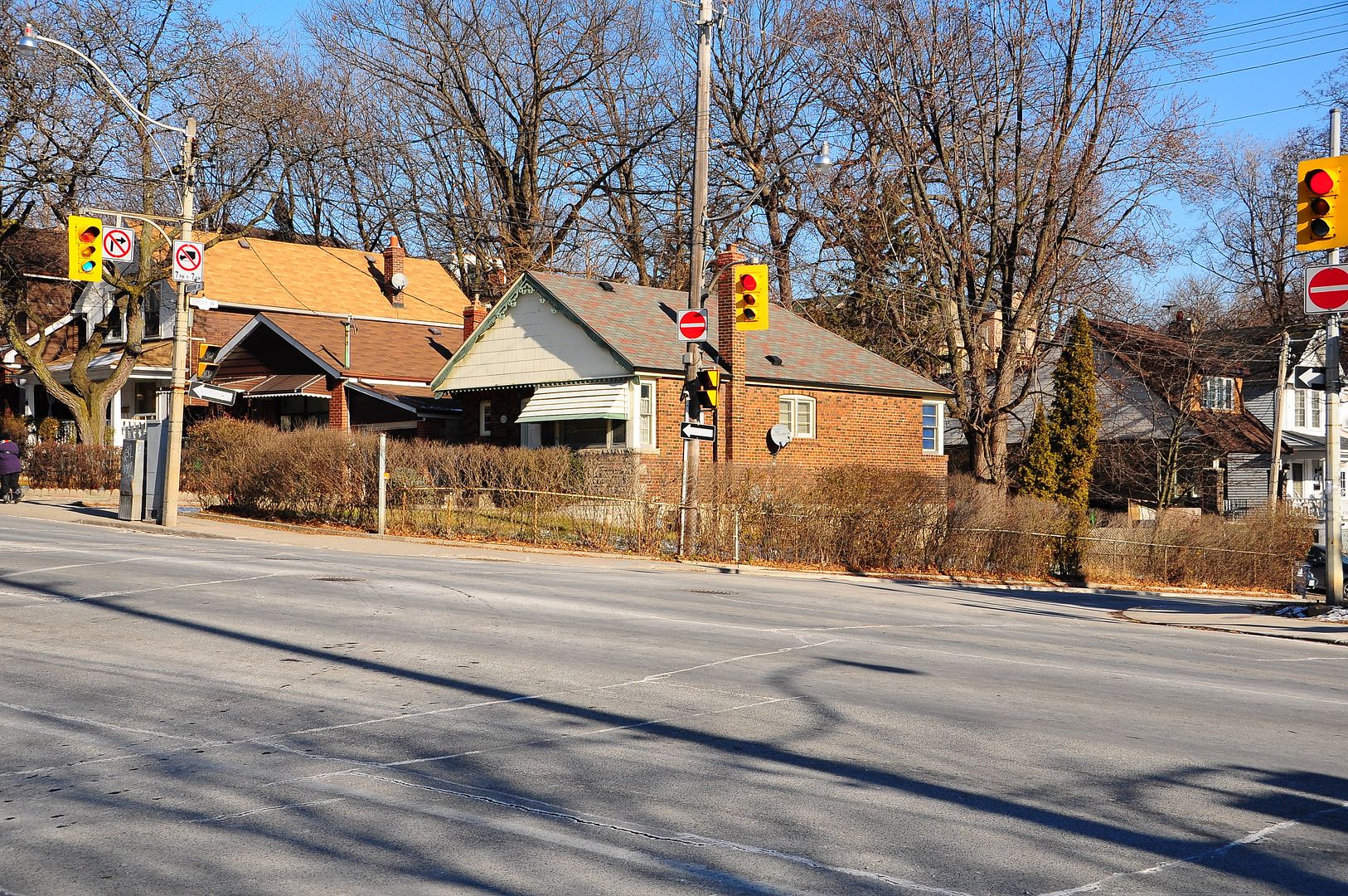
I hate to disagree, and maybe once that WAS 405 Woodbine Ave. as the writing on the photo suggests, but it is now 595 Woodbine (at Duvernet) with a bright yellow door (Google Street view is amazing). There are a few photos of that corner from July 26th through August 10th, 1921 (maybe they were in preparation for paving?) You can see them all on my Upper Beach historic photos page.
Mustapha, you'll have to decide how long your mystery location remained a mystery now!
Thanks JT and thecharioteer, for identifying that building. Working from black and white aerial pictures can't be easy.
January 6 addition.
Then. "July 26, 1921. Woodbine NE corner Corley."

Now. December 2010.

Hello everyone. I thought I would throw my Then and Now pictures into a new thread. No rhyme or reason here and I also thought I'd do some obscure locations.
I'll add to this thread as I casually peruse the Toronto Archives picture image resources and run errands around Toronto accompanied by my trusty Fuji F20 camera.
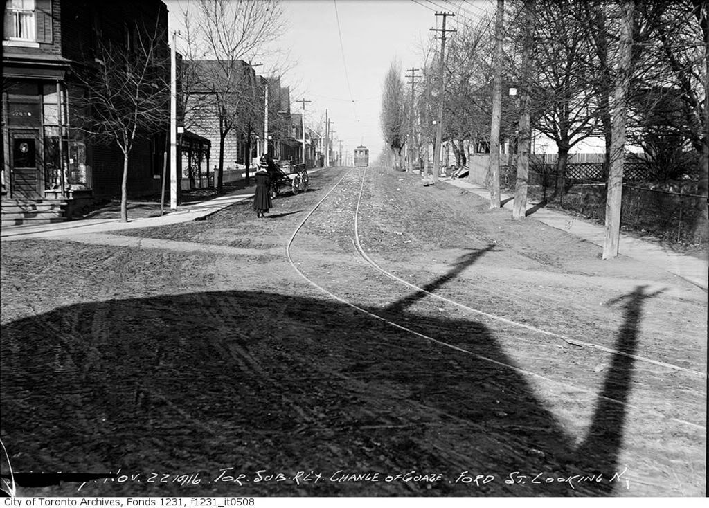
Ford Street, north from Davenport.
Then.
Now.
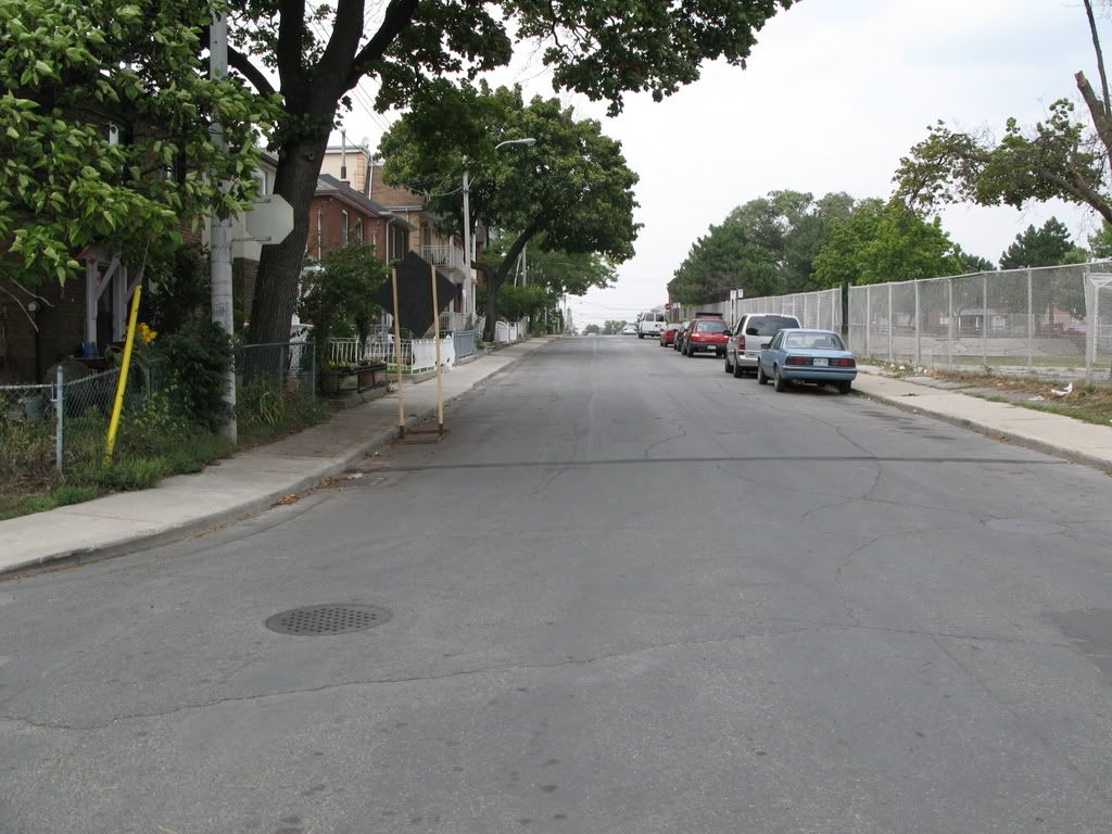
Wow Mayor Rob Ford moved quickly to get rid of Streetcars on the street that bears his name. Only took over 90 years!
Hello everyone. I thought I would throw my Then and Now pictures into a new thread. No rhyme or reason here and I also thought I'd do some obscure locations.
I'll add to this thread as I casually peruse the Toronto Archives picture image resources and run errands around Toronto accompanied by my trusty Fuji F20 camera.
Ford Street, north from Davenport.
Then.

Now.

Wow Mayor Rob Ford moved quickly to get rid of Streetcars on the street that bears his name. Only took over 90 years!
Lol, those streetcars have been gone from that street for over 70 years now. It was a TSR line.
Rob Ford is going to have a challenge if he were to get rid of all the downtown streetcars.
Wow Mayor Rob Ford moved quickly to get rid of Streetcars on the street that bears his name. Only took over 90 years!
lol good one, alowry2002. I was drinking tea when I read this; almost coughed it up.
