christiesplits
Senior Member
Thanks Junctionist for those pics. A right shame.
|
|
|
Thanks Junctionist for those pics. A right shame.
Re the Dundas/Dupont pic: I wonder if the old image was further down the intersection--presuming that Dupont once crossed the tracks at grade; remember that the whole configuration here was reworked and "bypassed" circa the 20s/30s, and the old Dundas alignment followed the present access road to Dupont from the south...
") can pinpoint with documentable certainty where the 'now' photo should be; I'd be happy to go out and take a new pic.
can pinpoint with documentable certainty where the 'now' photo should be; I'd be happy to go out and take a new pic.mustapha, i think you'd really be interested in going down to harbourfront and checking out the great big map of toronto from the 1850's complied by ERA architects as part of the exhibit there. some really interesting stuff on that map.
http://www.era.on.ca/news/index.php?news_id=76
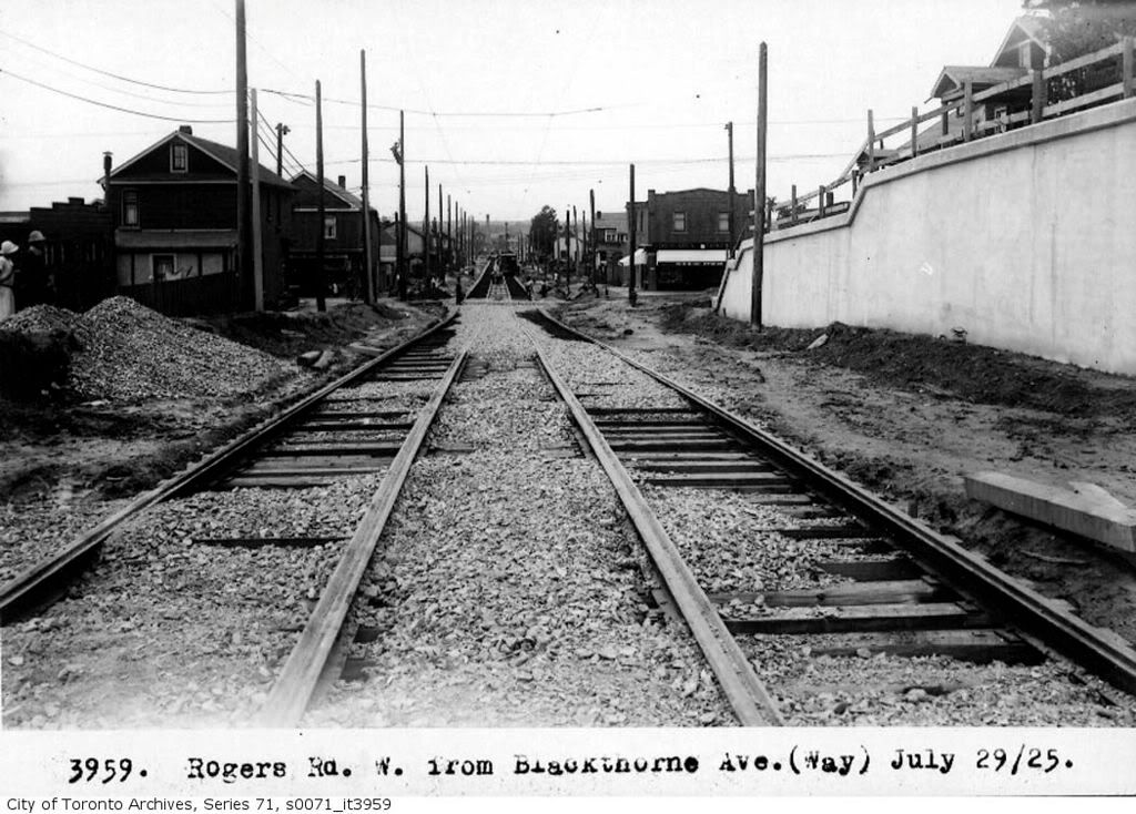
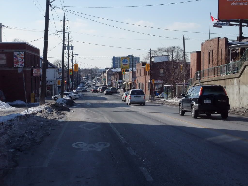
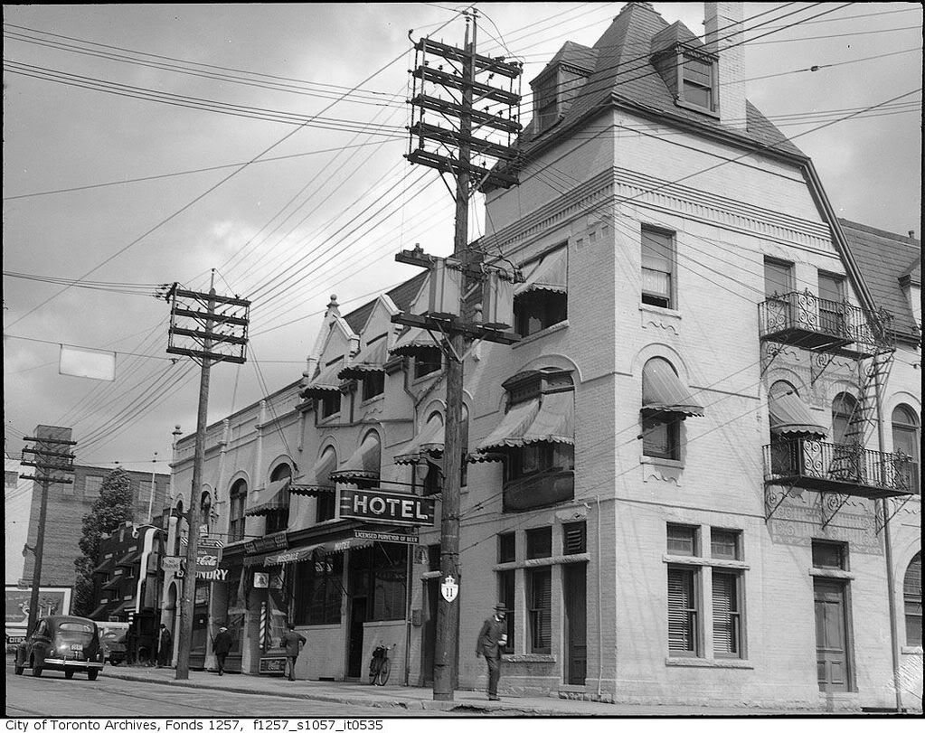
Looking west from Blackthorn.
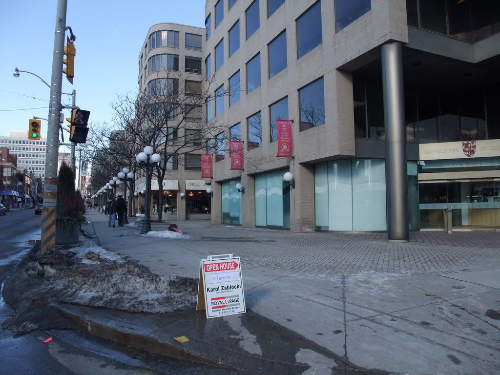
It's mostly gone now
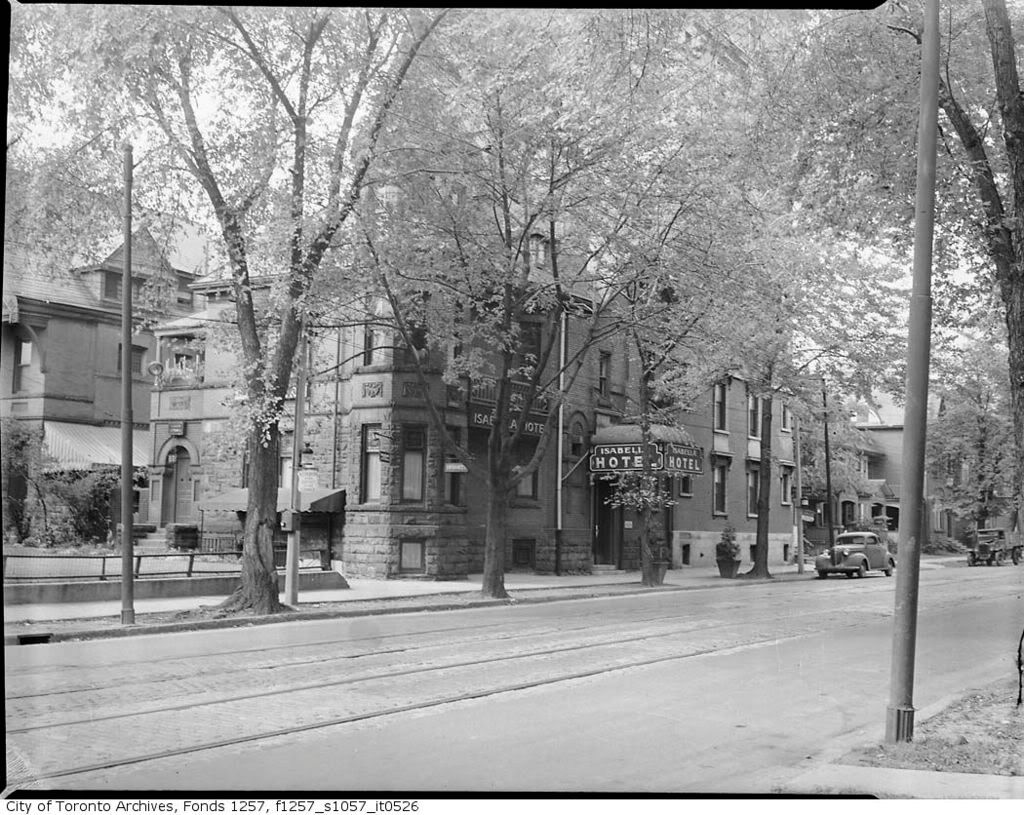
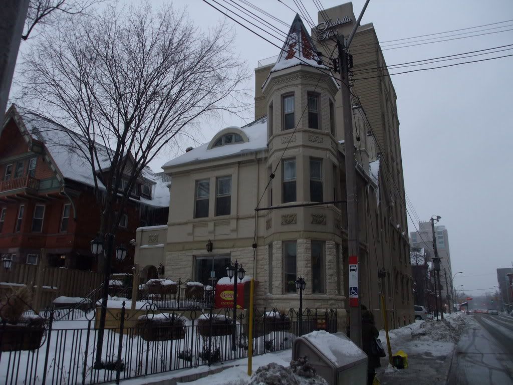
I'm glad to see you made it to my neighbourhood. I think when the weather improves I'll start an "Earlscourt then and now" thread.