There's a great deal of hyperbole.
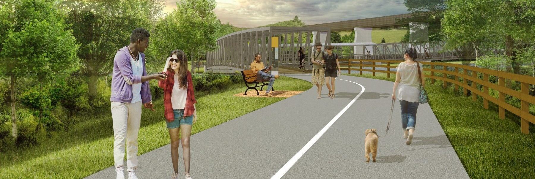
The real issue, such as it is, is not the bridges, its the brief section on land next to the golf course, between the two bridges.
The suggestion is that in a flash flood scenario, people would be trapped.
It needs to be said then, that there is no large dam immediately upstream that could fail. Yes, in a torrential downpour, floodwaters can rise quickly, and could and would flood the trail here, but not in five minutes; the idea that there might be dozens of people on this trail segment in the middle of a thunderstorm strains credulity.
Additionally, there will almost certainly be a door in or a way around the fence, on to the golf course lands, in the event of such an emergency.
Still, the risk profile is not all that high.
Put another way, roads and sidewalks in this City already represent a greater risk of a mass fatality event than this trail section ever would.


 www.toronto.ca
