


doady
Senior Member
I think rerouting Derry thorugh a conservation area was just dumb. They should have just bulldozed Meadowvale Village.
|
|
|
Well, a couple of points here... the idea of the pole was meant to be illustrative, not literal. Anything can serve as a "pole", not just the actual axis of the earth. It could be "that lonesome pine there yonder on the horizon". The closer you are to it, the greater the variance is going to be as you approach it (if you WERE using the North Pole and surveying from 15 or 20 miles away from it, you can see that the convergences would become pronounced very quickly; that's the principle I was getting at). Nobody surveying farmland in southern Ontario would actually survey it using the North Pole as their fixed reference point. For one thing, the wouldn't be able to see it. You'd pick a terrain feature and survey relative to it. Since it's going to be in line of sight, the errors moving from range line to range line are going to be far greater than ones that would accrue if you actually could use the North Pole as a fixed reference point for 43 degrees and change north of the equator. That's why the jogs come so frequently, are so pronounced, and don't occur at exactly the same ratios in every survey (the distance to the geographical reference points aren't fixed). They're all pretty unique relative to each other.
I think rerouting Derry thorugh a conservation area was just dumb. They should have just bulldozed Meadowvale Village.
Is anyone begging for St. Clair to be joined across the Don Valley?
They could have just built New Derry Road and the Mavis Road extension and left Second Line and Creditview as is (was).
")
So was Brimley, until about a generation ago. But you can't beat Bellamy being cut in two *thrice*--by the Eglinton rail crossing, by the 401, and by the rail yards north of it. (At least, until they renamed everything north of the 401--but it was all once Bellamy, even the N-S part of Middlefield...)(and it's a blessing they even had those; Fifth Line was simply cut in two, as was even Pharmacy Avenue in Scarborough).
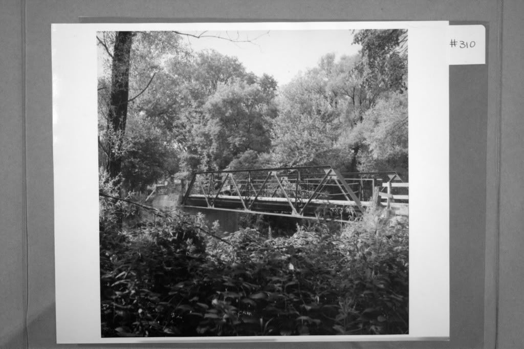
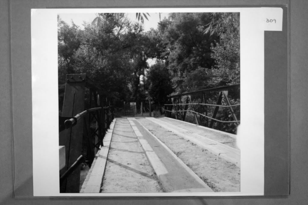
I took a few of the current view of the abutments for this bridge. I am not at home now, but I will find them later.
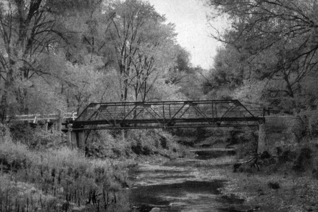
I have not had a chance to look yet, sorry! There was probably not much traffic going over this bridge because...there was no where to go east of the Don in this area. There was just not much there.Yeah, the eastern one has finally fallen into the riverbed. Hard to believe when you look at the photos from 50s... both of them there at the edge of the river. But the river carved its way behind the eastern one; when I took shots of it ten years ago it was standing most of a dozen feet away from the bank. Meanwhile, the western abutment is so silted-in now that you can barely see it.
But there you go! Can you imagine? This ONE-LANE bridge served the traffic on Lawrence Avenue less than a mile from Don Mills for about ten years. It really boggles the mind.