

generalcanada
Senior Member
TLDR: no update? MX still dont know what exactly they want here
|
|
|
TLDR: no update? MX still dont know what exactly they want here
 blog.metrolinx.com
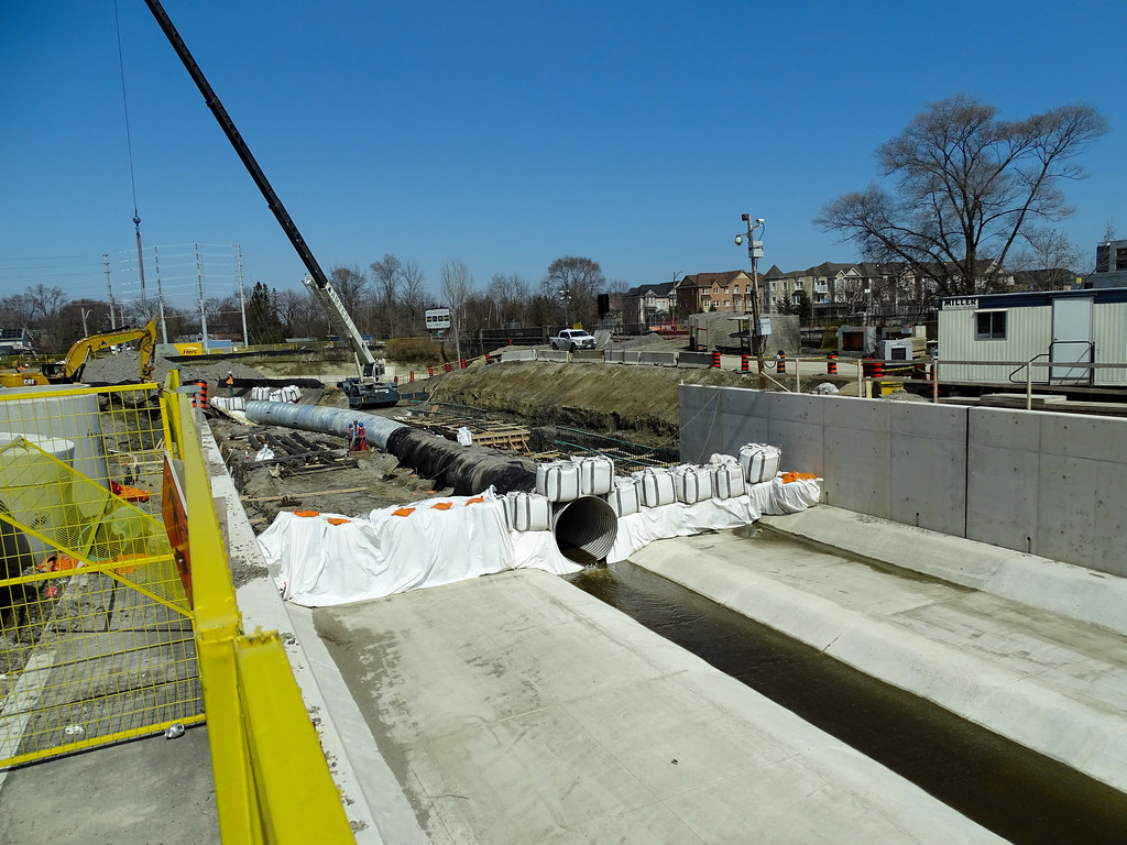
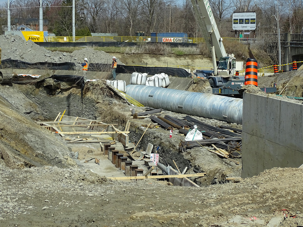
is this actual on-corr construction? i was under the impression 2x tracking all of the barrie line was the responsibility of the oncorr packageIncludes one bridge rendering.
Double tracking and station upgrades coming to expanding Barrie GO Line - Metrolinx News
Expanding GO Train service along the Barrie Line is on track as construction starts at Maple and King City GO Stations, and work gets underway to install a second set of tracks. Increased two-way, all-day service every 15 minutes is coming – read on for more information about improvements for...
is this actual on-corr construction? i was under the impression 2x tracking all of the barrie line was the responsibility of the oncorr package


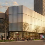
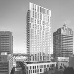
Yes because of the Mary Fix Creek expansion and the LRT.Drum, do you mean the northern parking lot is being redeveloped?
Includes one bridge rendering.
Double tracking and station upgrades coming to expanding Barrie GO Line - Metrolinx News
Expanding GO Train service along the Barrie Line is on track as construction starts at Maple and King City GO Stations, and work gets underway to install a second set of tracks. Increased two-way, all-day service every 15 minutes is coming – read on for more information about improvements for...
I assumed that this meant the civil work through this stretch was getting done and track laying was actually about to begin. Making this stretch a priority made intuitive sense because it connects the existing double track (a siding) between Teston and Kirby with the double track south of Rutherford station.As part of the project, second tracks are being added between Rutherford Road and McNaughton Side Road on the Barrie Line, and work is underway to prepare other portions of the line to receive a second track.
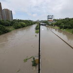
Took the GO Train from Union to Danforth last night on my way home.......
Passed by the Small's Creek area.........
I have to say........the ravine is trashed on the north side.............its really bad.
They completely obliterated the south wall (trackside) of the ravine; and that is worse than what Mx stated they were going to do.
If my property backed on this, I would be very upset.
The ravine was imperfect (lots of invasive species, small, divided); but it was a special and pretty place..........
It will take at least 2 generations to recover from what's been done.
At any rate, I couldn't get any pics from the train, but went looking for the neighbourhood FB group, and found a video which I will credit, and extracted a couple of stills.
Yes, they were.Weren’t pedestrian tunnels installed at Maple GO a few years ago and are sitting unused? That saves a ton of time for the platform construction.