


Midtown Urbanist
Superstar
So basically stuff they should have been pursuing while on autopilot anyway. Yawn.
|
|
|
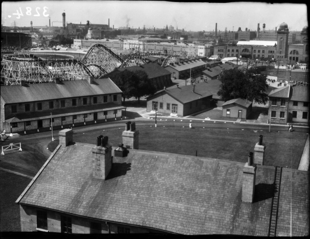
Display Boards from Open House #3:
View attachment 235663
Rather unimaginative meh that bends to the dictates of all the limitations around it.
AoD
So basically stuff they should have been pursuing while on autopilot anyway. Yawn.
It would be a great opportunity for RMC (best known for Steel Vengeance in Cedar Point in Sandusky, OH) to construct a signature hybrid roller coaster in Exhibition Place (if Wonderland doesn't get one).I tend to agree.
Though I'm not sure this is the spot I would want to pour money into at the expense of a plethora of other more worthy projects.
Still, I think if I were looking at it, I'd be inclined to ask; "Is there any portion of this site which might be able to sustain year-round vibrancy? If so what and how?
I think I might be looking just south of Dufferin as one key area connecting to much of the King/Dufferin, and west Liberty Village areas; and I might wonder about giving the St. Lawrence Market a proper western twin.
I think might also be inclined to consider something akin to a Farmer's Market focused on other Ontario product with an eye to innovators, playing into the whole history of the Exhibition but not in a carny-way, but one that could alternate
providing a cheap route to consumers for local innovators with also having 1 or 2 days per week of linking innovators to venture capital or B2B links.
I think I'd also be inclined to commission at least one grand exhibition hall. Something forward-looking rather than historical.
Finally, I really do think there is a role for an urban mid-way; but the CNE's is too short a season to offer higher-caliber rides.
I'm not thinking Wonderland, though one-awesome rollercoaster, fully lit up at night as a skyline feature/landmark does have some appeal; but I'm more thinking of shifting Centerville over here, given its problems w/flooding, it would be a more accessible location, and support an extended season of Victoria Day weekend to Thanksgiving.
Display Boards from Open House #3:
View attachment 235663
Rather unimaginative meh that bends to the dictates of all the limitations around it.
AoD
Would it still be the CNE if it was moved out of Exhibition Place to another part of the city?I'm not sure the future role of the Exhibtion grounds midway/theme park based...
The CNE is an event not a location so it could certainly be moved but it needs to be well served by transit (which it generally is now).Would it still be the CNE if was moved out of Exhibition Place to another part of the city?
For all the events at Exhibition Place like the CNE that require vast expanses of open ground or pavement, do they absolutely need to be on the waterfront? I suppose the air show and water skiing show during the CNE do, but not much else.
The soon-to-be-developed Downsview Airport is an enormous area of flat open empty land. As part of an arrangement to allow for its rezoning, could a large part of it be acquired by the city to become the "new" Exhibition Place?
Unlike Exhibition Place, the Downsview Park GO train station already includes a stop on a TTC subway line. And the proposed Dufferin Bus Corridor could probably also be extended to join the station (coincidentally running between there and the Dufferin Gate of the present CNE).... it needs to be well served by transit (which it generally is now).
The Exhibition Place Master Plan (Phase 1) is available at: http://app.toronto.ca/tmmis/viewAgendaItemHistory.do?item=2020.EP11.23 Two parts.
Looming large among Toronto’s myths are the tales of two expressways into the heart of the City: the Gardiner’s brush with Fort York, and the southward extension of the Allan Expressway, a.k.a. “Stop Spadina.” It is possible to see them linked not only in their sponsors’ determination to deliver progress at any cost, but also by the earnest opposition of those who fought them with such success.
The Gardiner Expressway was among the first major public works taken on by the Municipality of Metropolitan Toronto following its founding in 1954. Typical perhaps of the brash style of Frederick G. Gardiner, Metro's chairman for whom it was named, the road was under construction at its western end before its route had been worked out in detail through the heart of the city. Even then, some aspects as they became known excited immediate opposition and necessitated tactical retreats by the politicians in charge. One was the idea unveiled in early 1958 to place piers for the roadway and a connecting ramp from Bathurst Street within the ramparts of Fort York. The solution to this—bending the expressway a bit and eliminating the on-ramp—seems to have done little to increase the officials’ respect for Fort York. This was seen in a truly appalling 1959 scheme to extend Highway 400 to connect with the Gardiner, in interchanges that would have sterilized upwards of 30 acres of land west and south of the fort. It foreshadowed "Stop Spadina" a decade later.
The story of the Battle of Fort York in 1958-59 and its champions is found here.


