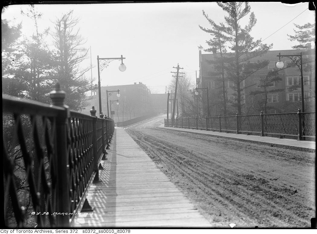
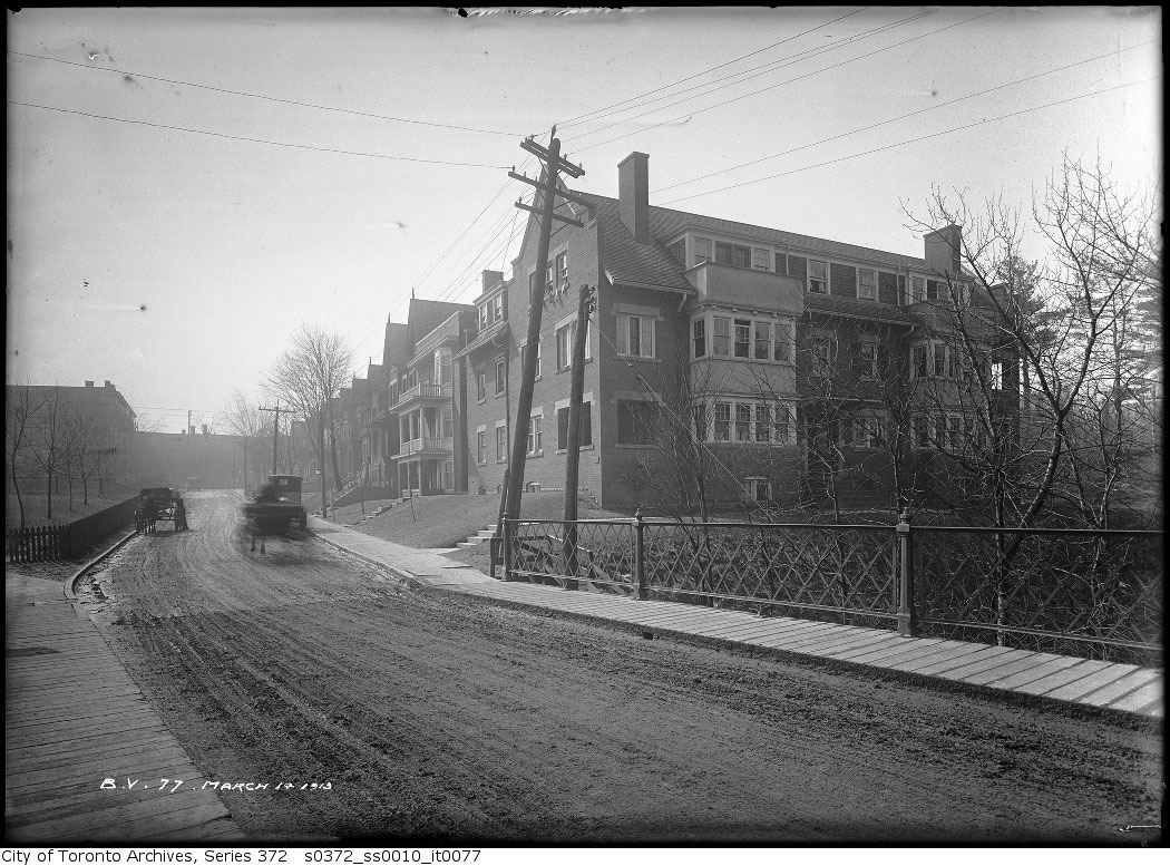
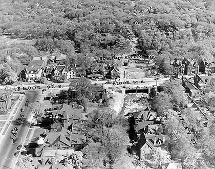
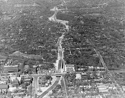
Took a quick look at the Archives and searched "Glen Road" and it's pretty clear that those last two photo posted by the Charioteer are of what was called the South Glen Bridge (now replaced by a footbridge), which spanned Rosedale Valley and and led to Howard Street. In the foreground was an apartment building that was raised to make way for the Bloor Street Extension (heading east to the Viaduct) and in the background are houses which still stand, derelict and awaiting the Lanterra redevelopment.
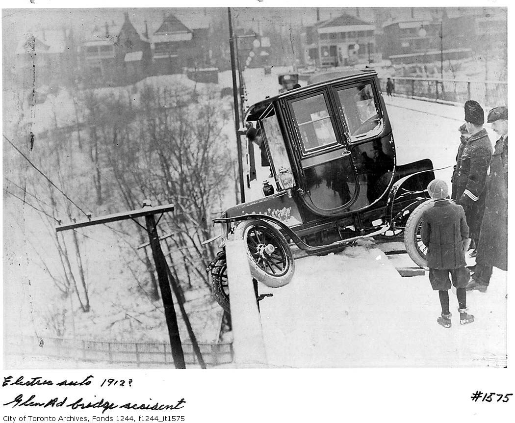
But I don't think the electric car crash was on the South Glen Bridge. The image doesn't correspond with the south view, nor does it correspond with the north side of the bridge, where Glen meets Dale (there is a grand house on a hill, still standing, which predates 1912).
The North Glen Bridge is also out because, as Goad's indicates, neither side had been developed much by 1910-12, save for the Gooderham Estate, which was on the SW intersection of Glen and South Drive (this was the house knocked down to make way for those bungalows mentioned by AlexCorey).
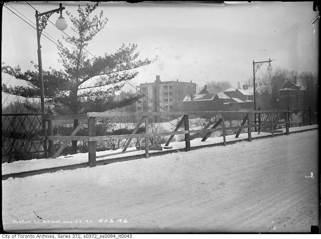
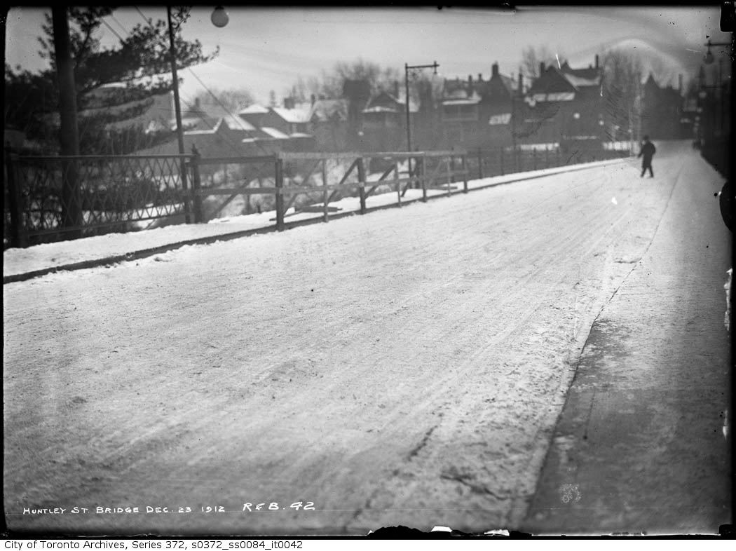
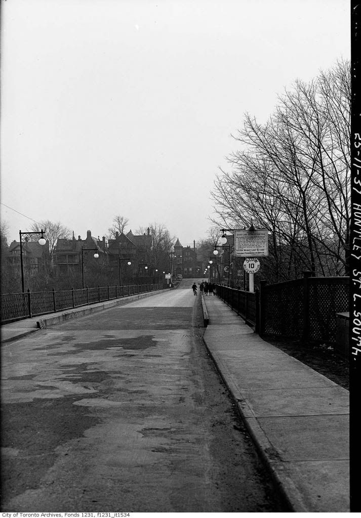
So my best guess, and I'm not sure, is that the photo was mislabelled, and the car crash actually occurred on the old Huntley Street Bridge, which also spanned Rosedale Valley and was later replaced when Mount Pleasant Road was pushed south under Bloor. I suspect the view is looking north and those houses in the background face Bloor.
Edit: Didn't see AlexCorey's latest post until after I posted mine; I see that we came to some of the same conclusions.
