With interlining, One line would go Malvern to downtown, with a branch at Liberty Village going a bit farther along King, and then down Fraser, Mowat, or Dufferin to Exhibition.
The other line goes down Dufferin, along King, and then branches south after East Harbour Centre Station. The Don River Line would stay in its own tunnel along Queen.
Dufferin-King-Scarborough Line,
- I would expect it would be elevated (some stretches at-grade) from Scarborough to East Harbour Centre Station.
- Move Woodbine, Leslie, and Carlaw stations south to Lakeshore.
- It would bridge over the Don River and then tunnel cut-and-cover through downtown. (Cut-and-cover is faster construction, cheaper, and more convenient in service not requiring minutes of time to descend to track level).
- I would prefer taking Front, Wellington, and back to Front @ Spadina for 3 reasons; 1) It appears less disruptive than King (less Path, no King Streetcar disruption), 2) It may be possible to go over the YUS tracks along Wellington, while you must go under the Stations along King, 3) It is easier to get back to elevated at Front/Spadina then along King (I remember showing that to go from underground to elevated takes up about 500m, which is unsightly along King and likely not possible).
- I would follow elevated along the north edge of the Rail Corridor with Bathurst, Strachan stations, and then Liberty Village on King.
- It would go elevated up Dufferin, although I haven't put much thought into this, and maybe you were planning tunneled?
Don River Line would be;
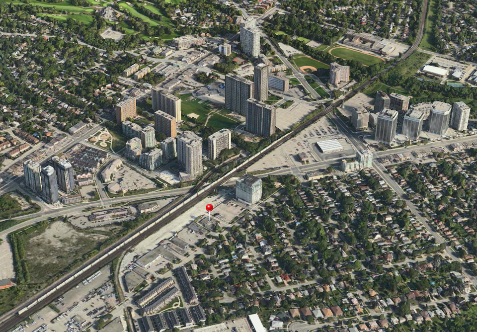
- At-grade/elevated north of Finch.
- Elevated from Finch to the Don Valley crossing.
- Cut-and-cover from the south bank of the Don Valley to the Lower Don River Crossing. I would move this Broadview Station a bit south (basically following the current Keesmaat route) to allow for an interchange with your East Harbour Centre Station.
- Bridge over the Don River (just south of Eastern Ave.).
- Cut-and-cover along somehow up to Queen and along Queen to Sunnyside.