


Northern Light
Superstar
Not necessarily tunnelling - but monitoring and if necessary strengthen the slopes; designing for greater peak flows for bridges, etc. Extreme events like these will likely be more frequent going forward - and this is a wakeup call.
AoD
There's not a lot that can be done to strengthen the slopes here. (practically)
Its a natural phenomenon that trees/vegetation anchored in relatively thin soils over rock have comparatively low adhesion. In the event of heavy water flow down a steep slope, there simply isn't any ability for the vegetation to hang on. The soil (or mud) and some loose rock is on its way down, and trees are going with...
Reducing clear-cut logging, in some spots, would provide some protection, in lighter rain situations (live vegetation roots do provide some anchoring); but it wouldn't do much against the kind of weather BC just saw.
You can certainly improving monitoring, and you can widen bridges some, as well as re-enforce their piers to take a direct blow from a slide or a torrent of water..........
But given the sheer number of potential problem points, I'm not sure that's cost-effective at scale.

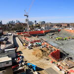
/cloudfront-us-east-1.images.arcpublishing.com/tgam/27WVV3YDMFPIZC3J2RPQVSKM7U.JPG)

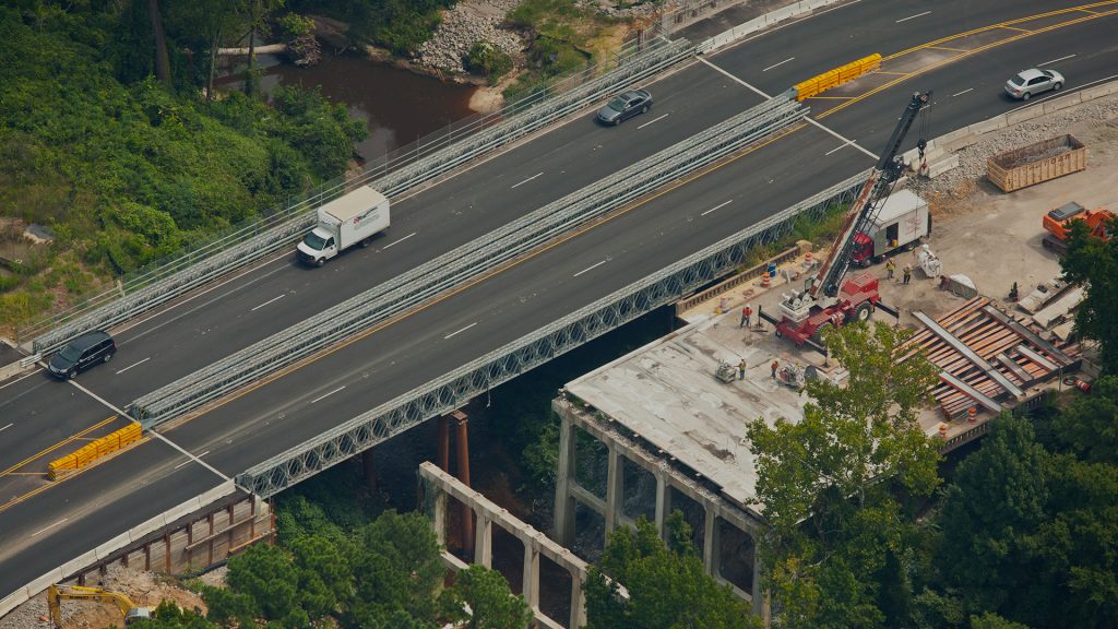
 ). The way that has washed out, I can't help but wonder if the best long term solution would be to build a dual level bridge that spans the ravine and allows the road to pass under the tracks (or if possible, redesign the section to not have the highway and tracks crisscross, as they swap sides again about 4km east). That would take a long time to design and build though.