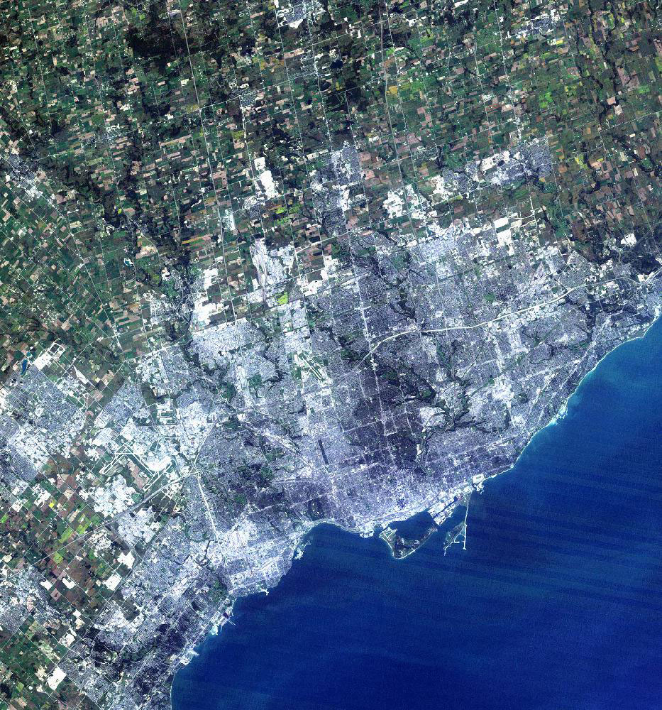
Sourced by Forum member 416, this satellite image of Toronto shows the extent to which we have altered the environment to accommodate our growth. Laying order on top of a landscape unaccustomed to such rigid structure, we have created a new geography of dazzling complexity. With a checkerboard of agricultural land in the north and a solid mass of concrete and steel in the cities to the south, there is very little that has been left untouched. Thanks to the keen eyes of our Forum members, the date of this shot has been narrowed down to the mid-1980s. Perhaps the easiest clue in dating this image is the abundance of farmland still found just north of Steeles Avenue. If we were to look at the same picture taken today, we would probably be amazed by how much the GTA has grown over these past 25 years!
 Satellite Image of the Greater Toronto Area, sourced for Forum member 416
What do you think of our choice for photo of the day?

 1.7K
1.7K 


