HamiltonTransitHistory
New Member
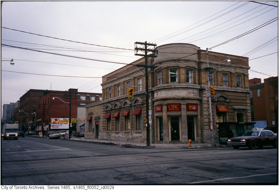
Filling for Long Island Mike .... the photo can't be any earlier than 1987 based on the Chevy Caprice taxicab at the right of the photo. 1987 was the first year that GM cars had the composite single glass headlights, which replaced the two individual halogen lamps. There also appears to be a late 1980s Oldsmobile parked just up the street.
And according to Wikipedia it can't be any later than 1994, which is when CIBC stopped using their 'chevron' logo.
http://en.wikipedia.org/wiki/Canadian_Imperial_Bank_of_Commerce
")