
 1.4K
1.4K 


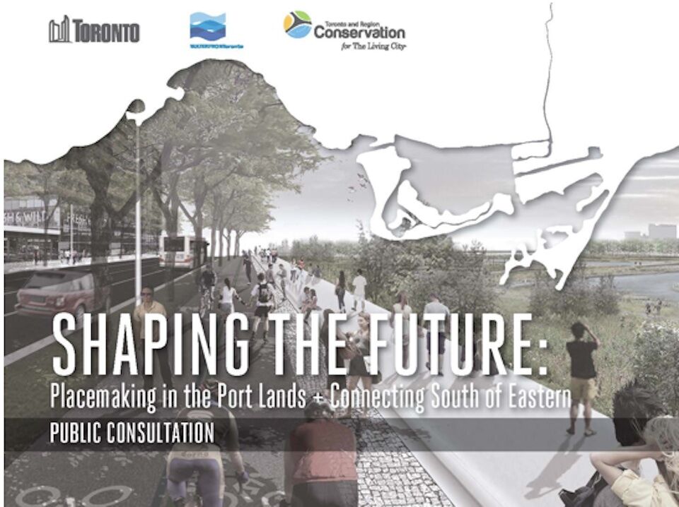
Since our last update on Waterfront Toronto's upcoming public meetings regarding the future of the Port Lands, new details concerning this final round of public consultations have become available. Billed as Shaping the Future: Placemaking in the Port Lands + Connecting South of Eastern - A Public Consultation, Waterfront Toronto and the City of Toronto seek to gather public input and engagement ahead of the final stage of planning and development for what could soon become one of Toronto's most exciting new districts.
The public consultation meetings will present and discuss findings from three concurrent studies: the Port Lands Planning Framework, the Villiers Island Precinct Plan, and the Port Lands and South of Eastern Transportation and Servicing Master Plan Environmental Assessment (EA). The meetings will take place across three dates and venues, beginning with an open house on Nov. 14, and followed by two individual workshops on Nov. 17 and 18.
Beginning at George Brown College (51 Dockside Dr.) on November 14th, the series kicks off with the Port Lands Public Open House and Information Sessions, which will feature an all-day event broken into morning (9 AM-12 PM) and afternoon (1-4 PM) sessions. The event will involve a series of presentations, along with opportunities to check out the displays and chat with knowledgeable staff. This open house will be a primer ahead of the two public consultation workshops, planned for November 17 and 18.
On November 17 (6:30-9:00 PM), the first of two public workshops, Placemaking in the Port Lands, will take place at Morse Junior Public School (180 Carlaw Ave.) This workshop will focus on the City's broad vision for the Port Lands, and will seek to gather public feedback on the emerging vision for the area in regards to its ability to create a new "place" in the larger city, and to fit into the surrounding area. There will also be a focus on the Villiers Island Precinct Plan.
The final event, Connecting the Port Lands and South of Eastern Areas, will take place on November 18 (6:30-9:00 PM) at the Fire Academy (895 Eastern Ave.). This second workshop will focus on transportation and servicing as part of the Port Lands and South of Eastern Transportation and Servicing Master Plan, and there will be additional sessions on transportation issues—namely the proposed character and network of streets and transit in the Port Lands—as well as municipal servicing.
What do yo want to see in Toronto's Port Lands? You can join in on the discussion in the Forum thread for the area, linked below, or leave a comment in the space provided on this page.
| Related Companies: | GeoSolv Design + Build , LEA Consulting, Tarra Engineering & Structural Consultants Inc |


