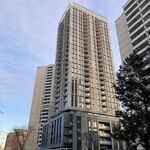
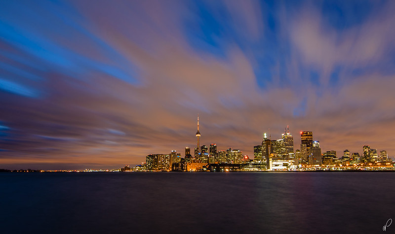
Fantastic photo Kris, it is an interesting perspective.
I agree with Balenciaga about east of Yonge - I cannot wait until the east waterfront area is developed and I would love to see more towers between Jarvis and Yonge.
I see a "T" developing in our tall building built form that would fit perfectly with the name "Toronto": tall buildings south of Queen downtown from High Park to the Don River (and even into Leslieville), with a corridor stretching north along the subway.
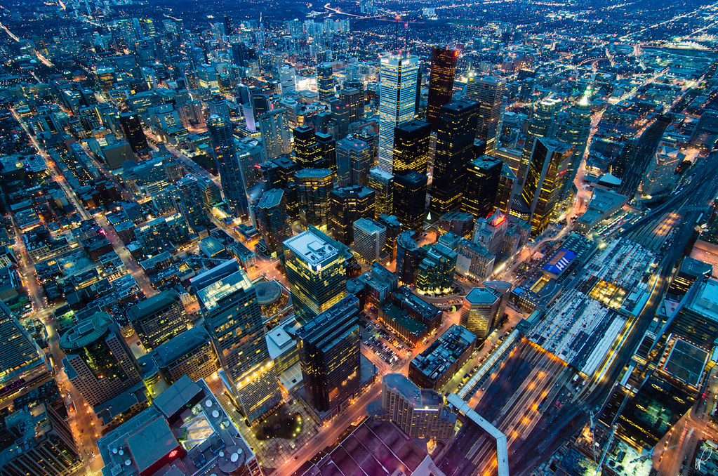
As for desiring more towers north of Queen - I'm not sure we will get much of that, or that I would want it. North of Queen neighbourhoods have a lowrise character. Tall buildings don't really fit, except of course near the subway. I doubt anywhere west of the AGO will have high-rise, though I would love to see midrise along Spadina and Dundas, and in many other select locations.
South of Queen is another story - I can't wait to see the cityscape in a photo like this when the 20+ proposals in the Entertainment district get built (many of which are either sinking or rising as we speak!).


")


