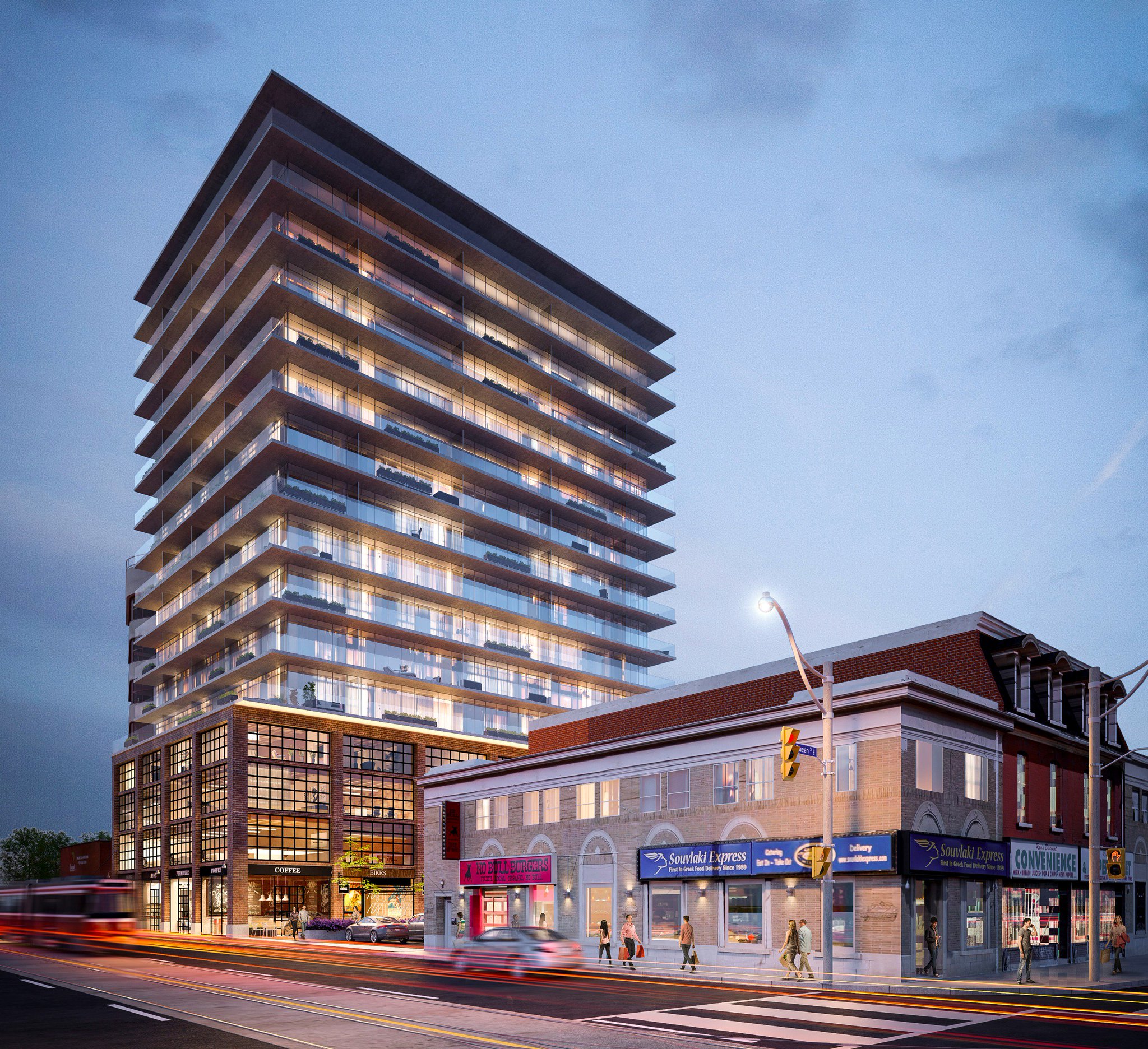
That's not an official neighbourhood boundary. That's the boundary of a private group, subject to change anytime by the association itself, and it's no more than that. You and I could start our own Corktown group (let's do it!

), and the boundaries for that group would no more constitute official neighbourhood boundaries than the boundaries of this other association. Ratepayer groups and BIAs set their own boundaries for all manner of reasons - strategic, political, aspirational, even personal - and they don't always, and don't need to, correspond with everyone's opinions as to where a neighbourhood starts and ends. These groups, and how they define their geographic areas of interest, can inform and influence popular opinion in the area as to what constitutes a neighbourhood, but that's all it is - opinion.
It has nothing to do with definition of terms. There are no official neighbourhood boundaries in Toronto. And I'm not sure that having official boundaries would be all that useful - for example, a BIA has a different objective when it draws a boundary than the City does when apportioning resources to social service agencies or than a neighbourhood association does when trying to wrestle with what it considers over-development. There is flexibility in that murkiness.
Best you can say here is that this site is within the area covered by the Corktown Residents and Business Association, and as far as you know is what most people would consider to be Corktown. But there is nothing official about it.
I know I am being pedantic here. But it's a bugbear of mine when I see people write "...and this neighbourhood's official eastern boundary is at Street A...", because no, it isn't.


