TheTigerMaster
Superstar
I'm curious; could you elaborate on why you don't see any good MSF locations other than TTC Greenwood?
I took the liberty of examining the route to find potential MSF, locations. This exercise left me with way more questions than answers
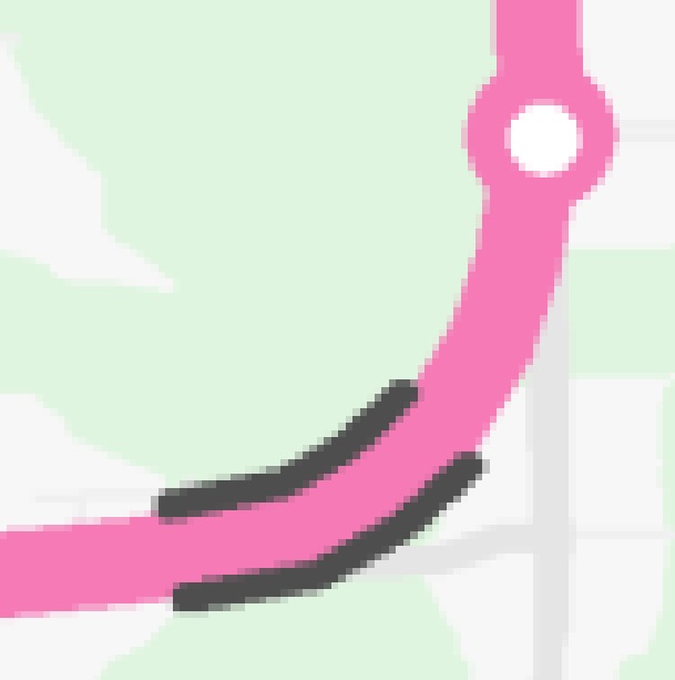
Firstly, here is a map of the Ontario Line route (purple), with hazards identified. Specifically, the railway corridor to the north (black), the hydro corridor (red) and the West Don River (blue). The MSF location identified in the BCA is yellow.
Before we can even find MSF locations, we need to figure out how the main trunk of the Ontario Line will even route itself through the Throncliffe/Flemingdon area. The BCA identified the entire segment of the line north of the Don Valley as being elevated or at-grade, but obstacles and hazards in the area make this non-trivial.
I've just now noticed that the hydro corridor crosses Don Mills Road rather close to the ground. This imposes some challenging restrictions on the Ontario Line routing, and I think we can confidently say that the Ontario Line cannot make an elevated crossing of the hydro corridor, without coming dangerously close to the hydro wires. This is admittedly a big assumption of mines, but my understanding is that hydro operators typically do not want anything built near their hydro corridors without sufficient clearance. Hydro wires can sag under load, potentially brining them into contact with an elevated Ontario Line. And then there are the implications of running a high voltage rail line so close to a high voltage hydro corridor. Electrical currents through wires generate electromagnetic fields; the interaction of these fields can have destructive consequences (note: not an electrical engineer). That just sounds like trouble.
Streetview (Link)
This means that the OL will have to cross the hydro corridor either at-grade or underground. This also means that a grade transition will be needed as the line transitions from running elevated alongside Overlea, to running alongside Don Mills Road, either underground or at-grade. My understanding is that curving a rail line, while also performing a grade change, greatly increases the risk of derailment, so this maneuver would require more space than would be required for a simple turn with no change in grade.
The northeast corner of Overlea Blvd and Don Mills Road has a rather large apartment complex (highlighted in red in the above map). Assuming that we're not willing to demolish that apartment complex, its location effectively rules out running the Ontario Line at grade or underground along the eastern side of Don Mills Road. Any crossing of the hydro corridor will need to either in the middle of, or alongside the west side of Don Mills Road.
The next-best option would be to transition the OL from Overlea to Don Mills road through the current location of the Valley Park Middle School (northwest corner of Overlea and Don Mills; also highlighted in red). This would necessitate the demolition and relocation of the school. Assuming the school is demolished, there should be enough room to change from an elevated to at-grade configuration as the line curves to run adjacent to Don Mills Road.
Now nowhere in the community consultation materials did I see Metrolinx identify Valley Park Middle School as being targeted for demolition. That's a pretty massive detail to fail to mention at your "community consultation". Demolishing and rebuilding the school could easily add another $50 Million to $100 Million in project costs, nevermind the logistics of relocating all these students.
Assuming that Metrolinx genuinely has no intent of demolishing the school, there really doesn't appear to be any good locations to make the transition from an elevated Overlea alignment, to an underground or at-grade Don Mills alignment. The school directly abuts both the hydro corridor, and the valley formed by the West Don River branch. Below is an image of the Overlea Bridge, which crosses over the West Don River. It really puts into perspective how challenging the terrain is. I just don't see how the Ontario Line could be routed through this segment without demolishing the school. Any attempt to do so would result in a very wonky routing.
Now even if we were willing to demolish the school, the Ontario Line would still be faced with some massive obstacles. Specifically, the pylons for the hydro towers are located immediately adjacent to the west side of Don Mills Road. There is no room to route the Ontario Line between Don Mills Road and the hydro pylons. The next best option would be to route the Ontario Line on the west side of the hydro pylons (and Don Mills road). However, even that is fraught with obstacles. Immediately west of the hydro pylons is a large drop in ground level due the the edge of the valley formed by the West Don River. So that completely rules out running the Ontario Line at-grade alongside the west side of Don Mills Road.
Another option would be to demolish the school and then relocate the hydro pylons to a location within the West Don River valley. However, that sounds extraordinary expensive, building hydro pylons on such rough terrain sounds challenging, and I suspect that the hydro operator will not want their pylons sitting in a flood-prone valley.
Even if it’s somehow possible to route the Ontario Line completely elevated through Thorncliffe and Flemingdon, including the crossing of the hydro corridor, this routing would still necessitate the demolition of the middle school. The demolition of the school is not something that Metrolinx has disclosed at the community consultations.
I can't help but come to the conclusion that it might not be feasible for the Ontario Line to utilize either an at-grade or elevated alignment through Throncliffe and Flemingdon. Any attempt to route cross the hydro corridor with that grade separation would result in a routing that is very much threading the needle. Underground appears to be the only realistic way to get through the neighbourhood.
Now, none of this even begins to address the location of the MSF...
Last edited: