Except for the problem of the above being entirely untrue, it's a fine thought.
Don't get me wrong I agree we have over sized loading in many buildings and yes, the fire dept can be an irritant at times.
But that has nothing to w/40M ROWs or even 20M rows in Villiers.
That's a function of streetwall height and density.
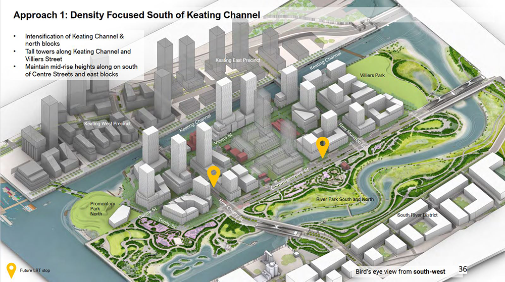
Villiers as currently proposed is 9,000 units on 20 hectares
Merwede is 4,250 units on 24 hectares.
So Villiers is much denser and much taller with 2.11x the number of units in just over 80% of the land area.
Villiers - 450 units per hectare
Merwede - 177 units per hectare.
When you drastically reduce height, you drastically reduce shadows and wind, this reduces the need for setbacks and large separation distances.
It also slashes the projected traffic too.