Post mortem from Environment Canada....
Special Weather Statements for Ontario
Weather summary for all of southern Ontario and The national Capital region
Issued by Environment Canada Toronto at 12:54 PM EDT Sunday 9 March
2008.
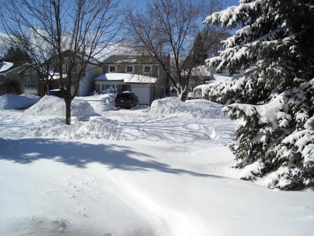
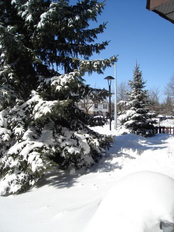
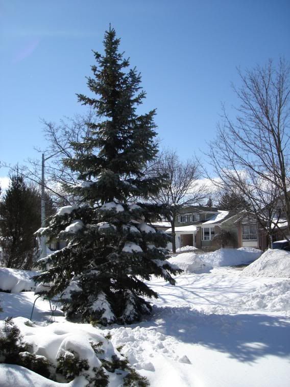
Massive winter storm which affected southern Ontario has ended.
-------------------------------------------------------------
==weather event discussion==
The major winter storm which has pummelled southern Ontario over the
last two days has moved out of the province. The snow began Friday
morning over areas north of the lower Great Lakes and across
Eastern Ontario by Friday evening. The second band of very heavy
snowfall started on Saturday during the day and lasted into the
night. There has been a wide range of snowfall amounts across the
affected areas with estimates ranging from 20 to 50 centimetres
Of snow. The heaviest amounts of snow fell in the Niagara region to
eastern Ontario and lake effect snow behind the storm gave locally
higher amounts in Barrie.
This storm has crippled many areas especially in eastern Ontario
where the Ontario provincial police has resorted to using
Snowmobiles for transportation and 7 foot snowdrifts have been
reported in the area.
This continues to be the second snowiest winter recorded for Ottawa
with this seasons snowfall totals reaching 410.7 cm. The record for
Ottawa is 444.1 cm of snow set in 1970-1971. This could be the
Fourth snowiest winter for Toronto at Pearson airport with total
snowfall amounts of 189.6 cm. The record for Toronto Pearson airport
is 207 cm of snow set in 1938-1939.
The following is a updated summary of snowfall totals from the onset
of snow Friday until 9 AM today as received by Environment Canada.
Please note that obtaining accurate snowfall totals for this event
has been difficult because of the blowing snow which accompanied the
storm.
-------------------------------------------------------------
Location snowfall amounts (cm)
Toronto Pearson airport 15 cm + blowing snow (as of 4 AM sun)
Toronto High Park 30 cm + blowing snow (as of 1 AM sun)
Toronto Downtown - the annex 25 cm + blowing snow (as of 12 AM sun)
Toronto Riverdale 25 cm + blowing snow (as of 12 AM sun)
Toronto East York 27 cm + blowing snow (as of 1 AM sun)
Toronto Downsview 32 cm + blowing snow (as of 8 AM sun)
Toronto Buttonville airport 25 cm + blowing snow (as of 4 AM sun)
Brampton 33 cm + blowing snow (as of 8 AM sun)
Woodbridge 40 cm + blowing snow (as of 1 AM sun)
Thornhill 25-30 cm+blowing snow (as of 6 PM sat)
Sutton 29 cm (as of 8 AM sun)
Barrie 45 cm (as of 9 AM sun)
Ottawa 52 cm + blowing snow (as of 7 AM sun)
Follow the
link for more snow totals in other locations.
Ottawa got pounded again, what a winter they've had these season. I've been lucky to miss those storms during my visits the past couple of months.


