News   Jan 08, 2025
 637     0 
News   Jan 08, 2025
 1.1K     1 
News   Jan 08, 2025
 541     1 

Miscellany Toronto Photographs: Then and Now

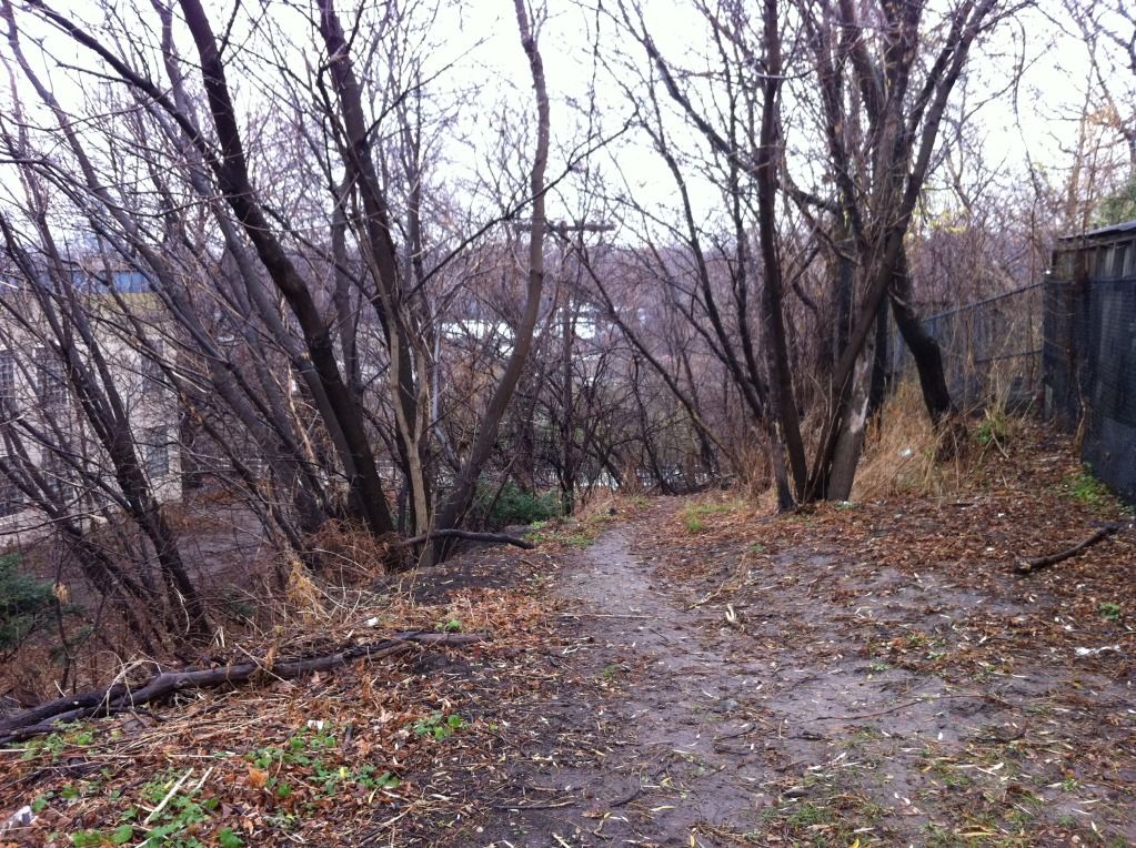
No I didn't go too far. It was wet, and a face full of leaves, rocks and mud wasn't a Monday morning thing to do. It seemed like there was a foundation of some sort in the last picture there, but no evidence of a road, at least to my untrained eye. But, I do have a recent video that might help (at 0:19 perhaps?):

[video=youtube;991k2Wx7gxM]http://www.youtube.com/watch?v=991k2Wx7gxM[/video]

Thanks for the trip. Definitely a good way to showcase an area. Pretty funky music also.
 
This single frame, I assume, shows the approximate path of the old road (attached):
not to belabor the point, but it's actually closer to the top of the hill, before the turn to the right towards the dairy queen

(see attachment below)

in order to keep to the "then and now" theme of this thread, here's the "then" picture from a hunnert years ago, looking down the hill, corresponding almost exactly to your 4th picture, beerich

f1244_it1264.jpg


:)
 

Attachments

  • pottery-road-to-hillside-drive.jpg
    pottery-road-to-hillside-drive.jpg
    60.7 KB · Views: 457
Thanks for that great video, BeeRich.
It's certainly a wonderful way to illustrate the point.
This single frame, I assume, shows the approximate path of the old road (attached):

That far down, eh? That embankment on the east side (starts there in that frame) I thought came after the original exit. I guess you are right.
 
not to belabor the point, but it's actually closer to the top of the hill, before the turn to the right towards the dairy queen

OK, thought so. That is one dangerous road, made of dirt/mud, for carriages to get down/up.
 
No I didn't go too far. It was wet, and a face full of leaves, rocks and mud wasn't a Monday morning thing to do. It seemed like there was a foundation of some sort in the last picture there, but no evidence of a road, at least to my untrained eye. But, I do have a recent video that might help (at 0:19 perhaps?):

[video=youtube;991k2Wx7gxM]http://www.youtube.com/watch?v=991k2Wx7gxM[/video]

The 'S' curve that begins at 00:36 is quite a wicked one... I haven't been up or down this way in ages, I didn't know they had repaved it. That was a mistake I think. The smoothness and new curbs give the impression of a modern road, which it isn't. I noticed your video ends at the T&T Asian supermarket on Cherry Street. I hope you had a nice lunch.
 
I've learned so much from this fascinating review of the history of Pottery Road.
Many thanks to all!

This photo looking N/E shows the hill where the original path may have been.
Unfortunately it's low-resolution so any pathway is unclear.

TodmordenMillslookingNE.jpg


This one is looking along the road (off Pottery) towards the bridge which leads to the brick works.
The interesting feature here is the WWII POW camp that can be seen just across the bridge.

POWcampinBG.jpg


An here we have an interesting map showing the POW camp and the road leading to Broadview.

mapofPOWcamp.jpg


These images are from this web site:
http://maps.library.utoronto.ca/dvhmp/todmorden.html
 
Colgate demolished the building starting in October 1994. The building was completely gone by the next fall and it stands vacant to this day. Funny how I called it back then that such a building (7 storey + basement) would be in demand within a decade - stupid how they demolish such a building only to build a similar building in its place!

Hi Denman, and welcome. Thanks for the update; I'll go back and get a picture of the new building soon.
 
And here's another (1931) which shows that old bridge on the route from Pottery Rd. to the Brick Works.
The POW camp would have been in this immediate area.

DonValleyBrickWks1931JamesSalmon.jpg
 
Last edited:
The 'S' curve that begins at 00:36 is quite a wicked one... I haven't been up or down this way in ages, I didn't know they had repaved it. That was a mistake I think. The smoothness and new curbs give the impression of a modern road, which it isn't. I noticed your video ends at the T&T Asian supermarket on Cherry Street. I hope you had a nice lunch.

I'm at T&T every week on my shopping schedule. Great place. The S is at the bottom of the hill, and at 0:37 and 0:39, you can see the poles people smash into with bad tires.

Remember the days when the river crossing was only that old bridge? People had to negotiate who went through as it is only a single lane.

This video doesn't have the true audio of me swearing after I passed the cops at Queen Street. I should post the beginning of this which has the Bridgepoint Health/Don Jail footage, seeing as that's all going to be changed soon.
 
"this thread has reached over 500 pages and over 7500 posts."
QUOTE HamiltonTransitHistory.

AND . . . . . 1,126,049 views!

Three Cheers for our Fearless Leader, Mustapha!

(and Company.)


Regards,
j t

Emphasis on the 'Company', please. I'm a 'Company', gray flannel suit kind of guy. :)
 
I've learned so much from this fascinating review of the history of Pottery Road.
Many thanks to all!

This photo looking N/E shows the hill where the original path may have been.
Unfortunately it's low-resolution so any pathway is unclear.

TodmordenMillslookingNE.jpg

I think that ridge would be behind the Fantasy Farm. So FF would be on this side of it. Earlier this morning, when I was there, the road to the north, running west of Broadview, was probably on top of that ridge. The park stated earlier is on the SW corner of that intersection.
 
And here's another (1931) which shows that old bridge on the route from Pottery Rd. to the Brick Works.
The POW camp would have been in this immediate area.

DonValleyBrickWks1931JamesSalmon.jpg

That picture is just remarkable. In the foreground, it doesn't really look like a river, but a flood plain that changes on a regular basis. That trip from the bridge to the Brickworks wouldn't be thinkable today. What it would have to pass:

- 4 lanes of Bayview Extension
- Railway
- Don River
- 6 lanes of Don Valley Parking Lot

Oh the fun I would have had in those days, playing around in the Don Valley. The mud looks deeper then though.
 

Back
Top