thecharioteer
Senior Member
Re: Clarence Square
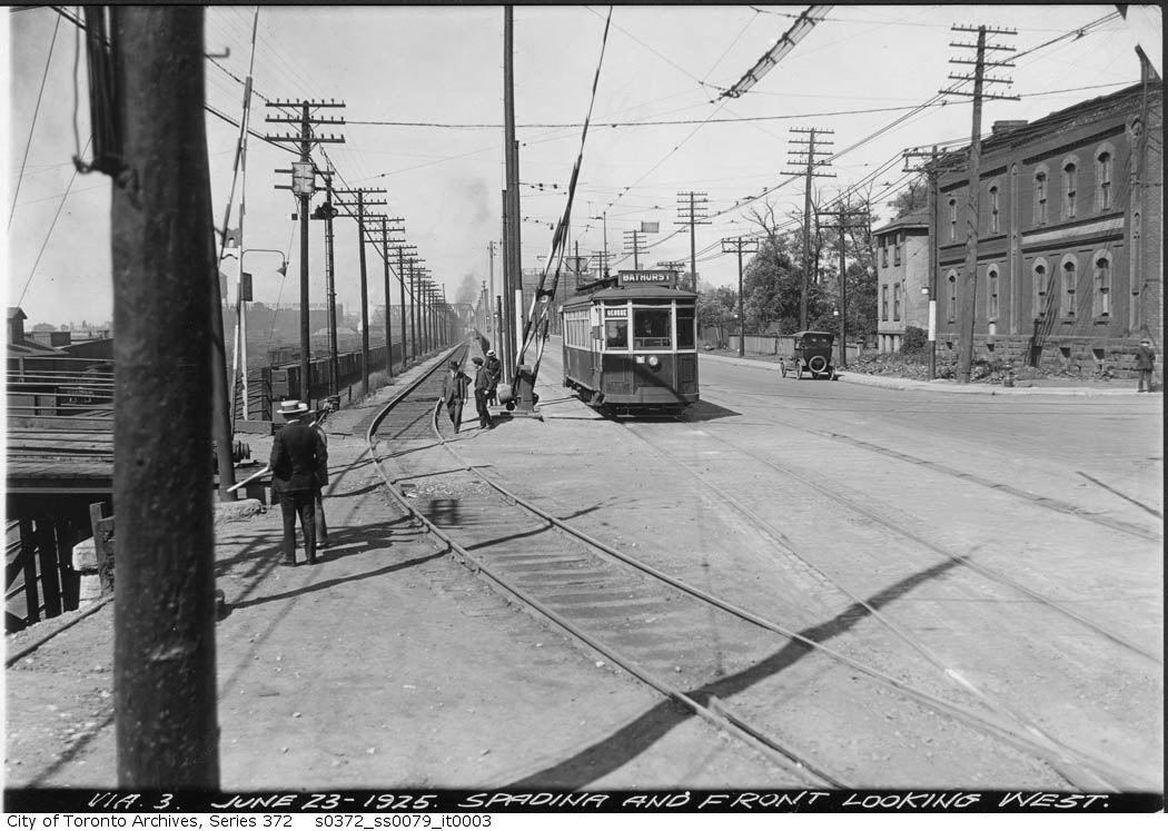
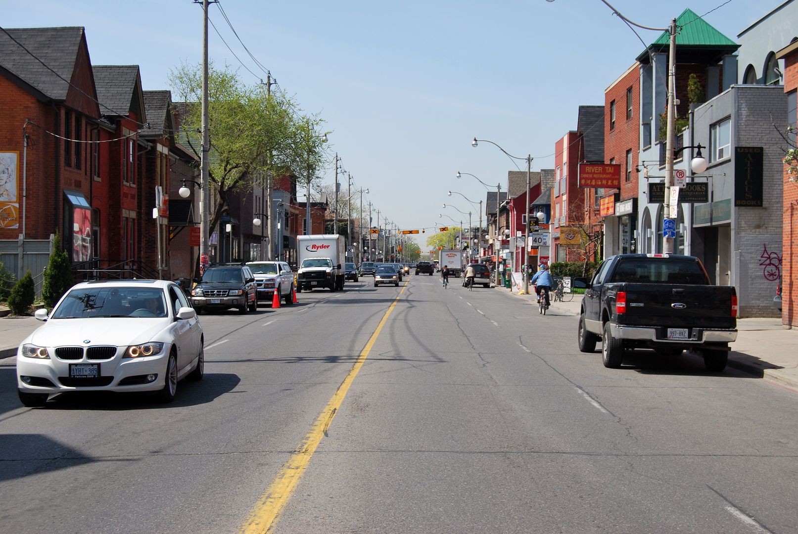
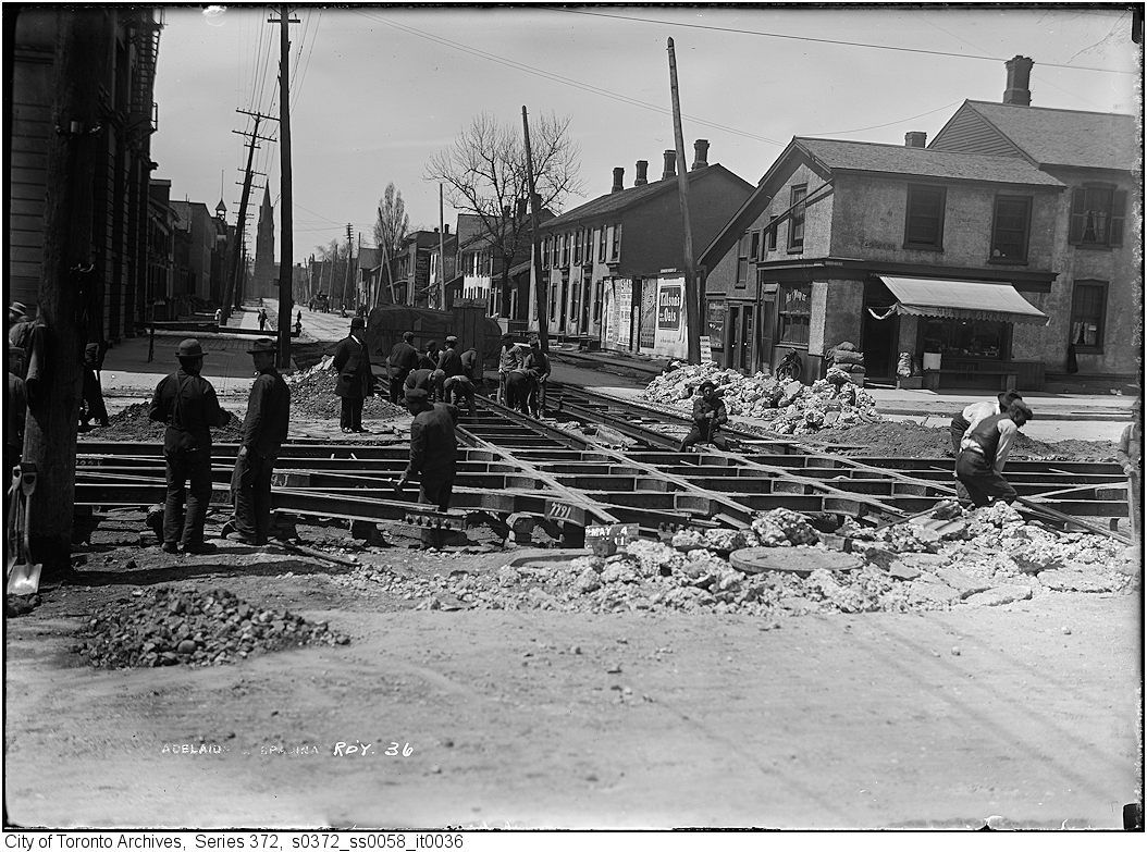
Pity about the loss of the end units of the Clarence Square terrace and their replacement by a gas station. Here's an earlier view which shows a much narrower ROW for these blocks, presumably after the elimination of the street trees:
Pity about the loss of the end units of the Clarence Square terrace and their replacement by a gas station. Here's an earlier view which shows a much narrower ROW for these blocks, presumably after the elimination of the street trees:


")