


Goldie
Senior Member
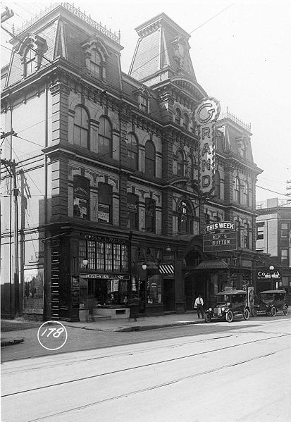
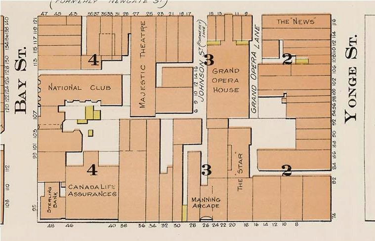
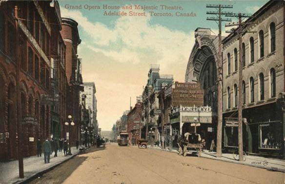
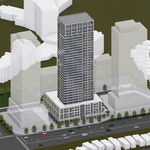
Globe & Mail, Sat. Oct. 3/09
Interesting article regarding the resoration of Toronto's architecture.
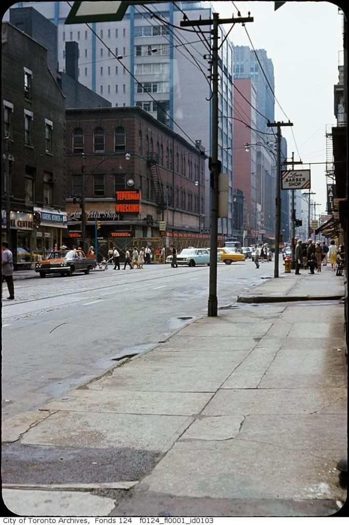
Globe T.O. section (Globe & Mail, Sat. Oct. 3/09)
Interesting article regarding the resoration of Toronto's architecture.
Globe T.O. section (Globe & Mail, Sat. Oct. 3/09)