News   Apr 18, 2024
 411     1 
News   Apr 18, 2024
 1.5K     3 
News   Apr 18, 2024
 372     0 

Maps of Toronto's old rail lines?

Admiral Beez

Superstar
Member Bio
Joined
Apr 28, 2007
Messages
12,139
Reaction score
6,218
What of the train tracks along Lakeshore East?

I remember my surprise three years ago at seeing a train pulling a huge liquid container along the old tracks at Unwin Ave., south of Commissioner. The train was moving very slowly, with a team walking ahead.

CIMG7947.JPG
 
Last edited:
What of the train tracks along Lakeshore East?

I remember my surprise three years ago at seeing a train pulling a huge liquid container along the old tracks at Unwin Ave., south of Commissioner. The train was moving very slowly, with a team walking ahead.

The tracks along Lake Shore east of the Don River are still used from time to time to deliver tanker cars to the plant on the south side of Lake Shore east of Carlaw. About three years ago the Toronto Portlands Corporation paid $$$$ to repair the tracks that then run a bit further east and then go south to Unwin Avenue and turn west to the port area at the bottom of Cherry Street. I asked them why they did this as it clearly cost lots of money and was told that they had a 'contractual requirement' to keep the track operational. (Presumably with the Ports Toronto folk). Seems odd to me as the tracks show no sign of ever being used.
 
The train I saw on Unwin was pulling a huge, oversized tanker car to a waiting ship. The Unwin tracks go to the old Rochester ferry terminal. I wish I'd taken a pic of the train, but below was the exact spot I saw it.

img_2488.jpg


What about the tracks that run down the middle of Commissioner Street?
 
Last edited:
Is there ever a chance the rail bridge at the Brick Works would be used again?

This section is called the CP Don Branch, http://www.trainweb.org/railsintoronto/eastend.html#cpdonb

It branches off the main line used by GO at the foot of Winchester St, and then reconnects to another mainline just past Bayview. It's interesting to follow it on Google Maps.

It was closed in 2007, per http://torontodreamsproject.blogspot.ca/2013/05/the-railway-by-brickworks-in-early-1920s.html

Good info here http://torontoist.com/2010/09/don_rail_branch_stays_gold/

And some great info, pics and maps of old time Toronto train ops here http://www.trainweb.org/oldtimetrains/TTR/history_1.htm
 
Last edited:
Tracks are still in place here on Sudbury, as there used to be a branch off the mainline: (you can see the connection in historic streetview)
upload_2016-3-20_18-40-19.png
upload_2016-3-20_18-41-23.png


There is also an interesting spur by Warden station which is partially existing, but was cut-off by a residential development. The rail bridge still exists over St. Clair parallel to the subway bridges, and you can see the track behind the houses south of St. Clair
upload_2016-3-20_18-44-12.png
 

Attachments

  • upload_2016-3-20_18-40-19.png
    upload_2016-3-20_18-40-19.png
    153.4 KB · Views: 6,967
  • upload_2016-3-20_18-41-23.png
    upload_2016-3-20_18-41-23.png
    137.6 KB · Views: 7,158
  • upload_2016-3-20_18-44-12.png
    upload_2016-3-20_18-44-12.png
    552.1 KB · Views: 7,038
Tracks are still in place here on Sudbury, as there used to be a branch off the mainline: (you can see the connection in historic streetview)
View attachment 70320View attachment 70321

There is also an interesting spur by Warden station which is partially existing, but was cut-off by a residential development. The rail bridge still exists over St. Clair parallel to the subway bridges, and you can see the track behind the houses south of St. Clair
View attachment 70322

That's actually been ripped out now and the rail path has been made int a walking path. I think the TTC maybe using part of it to lengthen the small spur track they have by Warden station
 
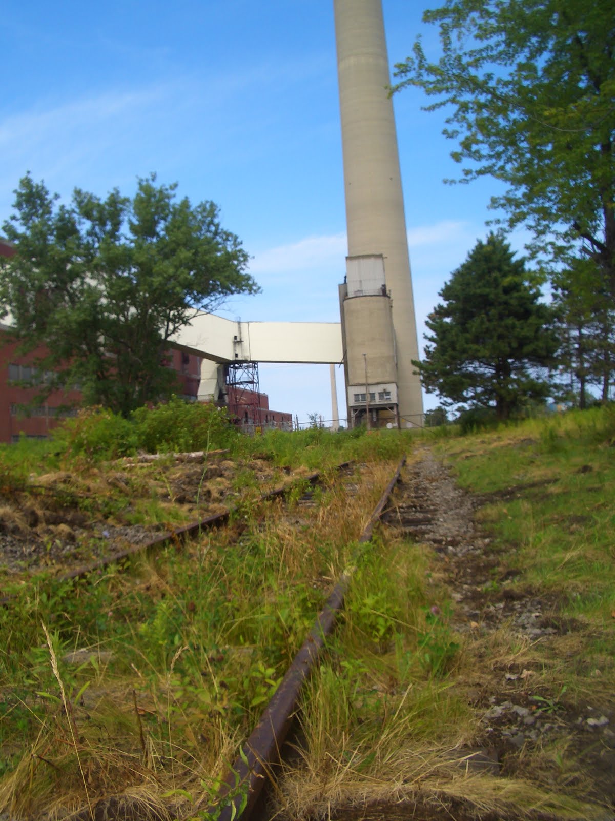
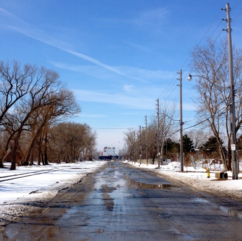
I was at Rock Oasis last week at Dundas and Carlaw, and noticed there was an expired rail line in the parking lot. This got me thinking, is there a map of Toronto's old industrial rail lines, including spur lines to companies?

I assume the one above is part of the Wrigley spur, though I was on the west side of Carlaw.

http://spacing.ca/toronto/2015/08/06/dead-rail-lines-lost-streets-toronto-oddities/

Cool. Love stuff like this, and recall reading that article when it came out. Funny that Toronto's newer and current Wrigley plant (soon to be closed I believe) also has a disused rail spur sitting behind it (in this case the Leaside Spur).

There is also an interesting spur by Warden station which is partially existing, but was cut-off by a residential development. The rail bridge still exists over St. Clair parallel to the subway bridges, and you can see the track behind the houses south of St. Clair

Wasn't really aware of that one, but I have seen trains use the spur just north of there, which branches NW to around Comstock/Pharmacy. I think it was delivering sugar to a food factory or something.

Map is wrong, the Unwin tracks connect to those along Leslie

Yeah, it's hand-drawn...looks like a pirate's treasure map. And the illustrator muddied things a bit. This TRCA map is older, and though it doesn't show the full extent of old spurs and what not, it does show the proper route from Keating Yard->Leslie->Unwin. This is very much "active", tho seldom used.

trca-waterfront-railway-map-jpg.57721


The .kmz file @smallspy linked to should show just about everything in its right place, incl old spurs. If it is in fact the same .kmz file I've used in the past.
 

Back
Top