


steveintoronto
Superstar
Further to the previous post RE: Hong Kong and how King Street can adopt the approach of pedestrians *above* the transit mall:
Central–Mid-Levels escalator and walkway system
https://en.wikipedia.org/wiki/Central–Mid-Levels_escalator_and_walkway_system

[...continues 10 pages...]
https://www.witpress.com/Secure/elibrary/papers/SC06/SC06028FU1.pdf
Japan Railway & Transport Review No. 35 (pp.28–35)
Feature: Urban Railways in Asia
Hong Kong's Future is Guided by Transit Infrastructure
Corinne Tiry
http://www.ejrcf.or.jp/jrtr/jrtr35/f28_tir.html
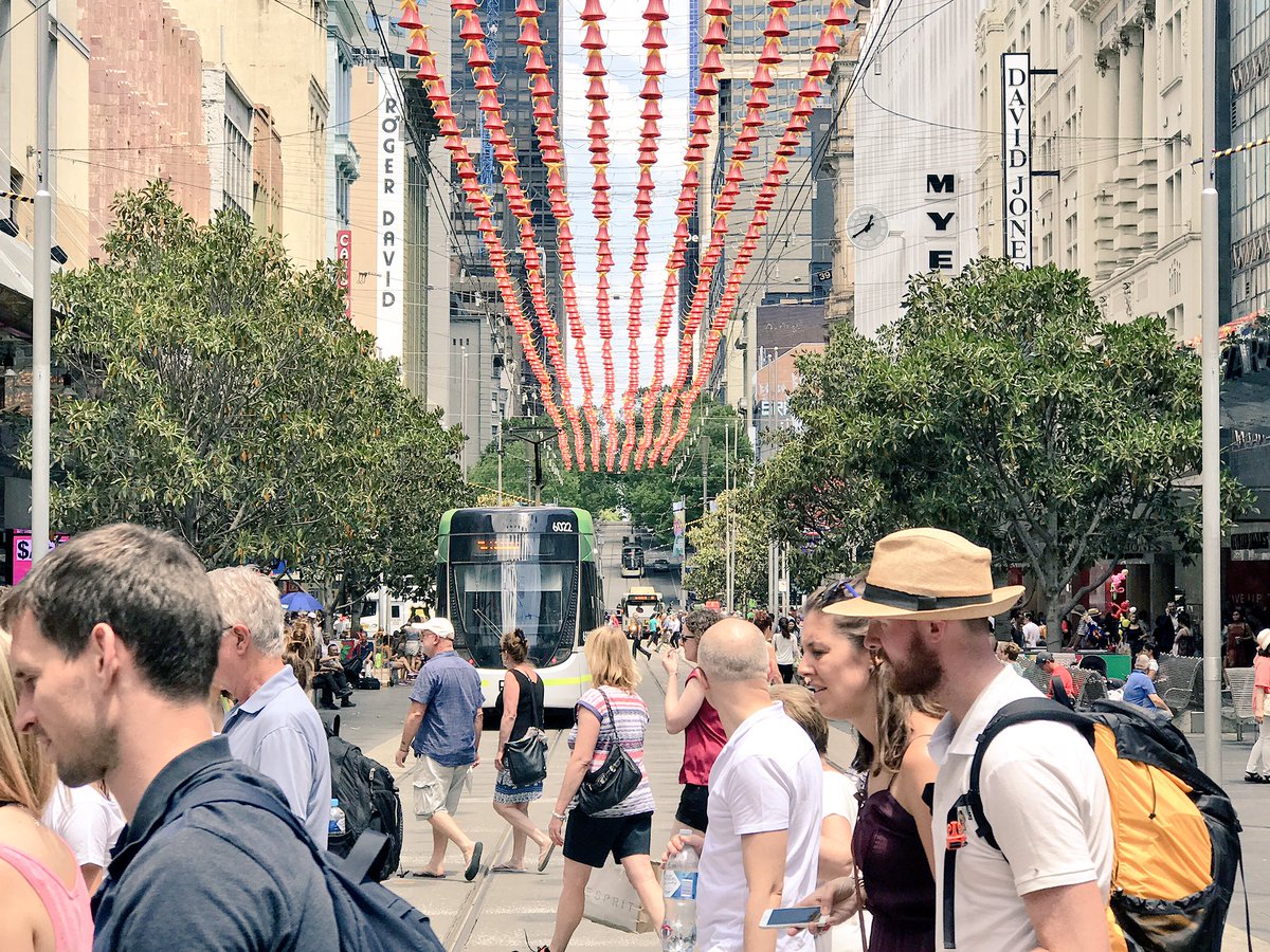
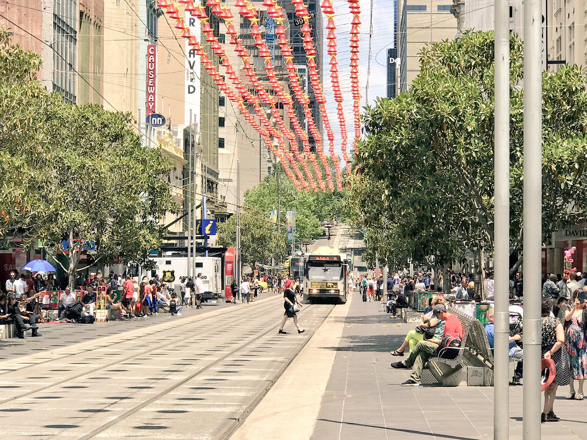
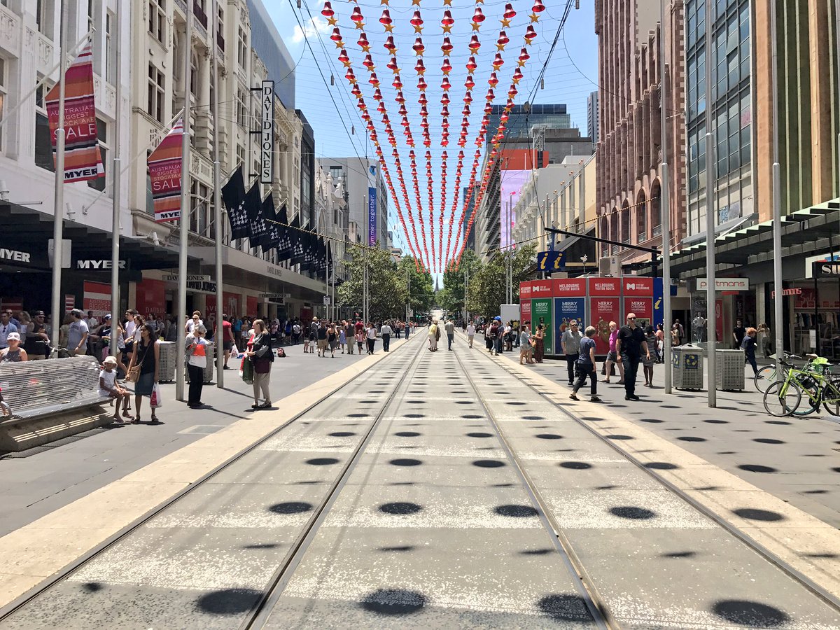
There's a lot of space *above* the streetcars on King!
Cities Without Ground: a guidebook to Hong Kong's elevated walkways
In Hong Kong, your feet need never touch the ground. But now, for the first time, a book can help you navigate the high-rise web of bridges, tunnels and lobbies that make up the city's fabric

A city without ground … one of Hong Kong's elevated walkways. Photograph: Oro Editions
- Oliver Wainwright @ollywainwright
UK Guardian- Friday 22 February 2013 14.59 GMT First published on Friday 22 February 2013 14.59 GMT
In Hong Kong, it is possible to walk all day without ever having to set foot on the ground. In this super-dense metropolis, built on an implausible terrain of sheer-faced mountains and reclaimed land, you can go from your house to the office, via shops, stations and ferry terminals without once touching terra firma.
It is a city built on an intricate network of elevated bridges and submerged tunnels, aerial walkways and suspended passages. The platforms of transport hubs meld into labyrinthine malls, which in turn bleed into office lobbies. Branches of stairs and escalators continuously connect onwards and upwards, to the extent that you're never quite sure what altitude you might be at, how far from the street you have risen – or if, in fact, there was even a street to begin with.
This unique urban condition has now been mapped for the first time by a group of architects and academics, who have brought their findings together in Cities Without Ground: A Hong Kong Guidebook. The work of Adam Frampton, Jonathan D Solomon and Clara Wong, the book takes a systematic look at the layered topography of the city, drawing over 30 key areas in exploded axonometric diagrams to reveal the interweaving networks of pedestrian infrastructure.
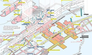
A map shows the interconnecting levels of the Shun Tak Centre and Sheung Wan – a hub that connects trains, ferries, helicopters, buses and taxis, alongside a neighbourhood of dried seafood shops. Image: Oro Editions
The project claims to be "a manifesto for a new theory of urban form" and the authors argue that Hong Kong "demonstrates the viability and even robustness of public spaces that do not resemble a street or a square."[...]
Central–Mid-Levels escalator and walkway system
https://en.wikipedia.org/wiki/Central–Mid-Levels_escalator_and_walkway_system
[...continues 10 pages...]
https://www.witpress.com/Secure/elibrary/papers/SC06/SC06028FU1.pdf
Japan Railway & Transport Review No. 35 (pp.28–35)
Feature: Urban Railways in Asia
Hong Kong's Future is Guided by Transit Infrastructure
Corinne Tiry
http://www.ejrcf.or.jp/jrtr/jrtr35/f28_tir.html
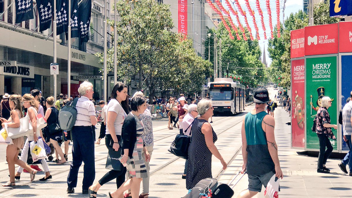
There's a lot of space *above* the streetcars on King!


 Laurence Lui@larrylarry