I'm a bit confused by the preferred options, since the two options that would make the most sense to me
weren't even present in the long list of options. These would be either:
- Dedicated centre lanes through downtown (either as a transit mall or without the bike lanes)
- A tunnel for the ~600 metres from south of Wellington to the GO station
Why isn't dedicated centre lanes an option for the downtown portion? The only options with dedicated LRT lanes shift them from the centre to the curb.
View attachment 304676
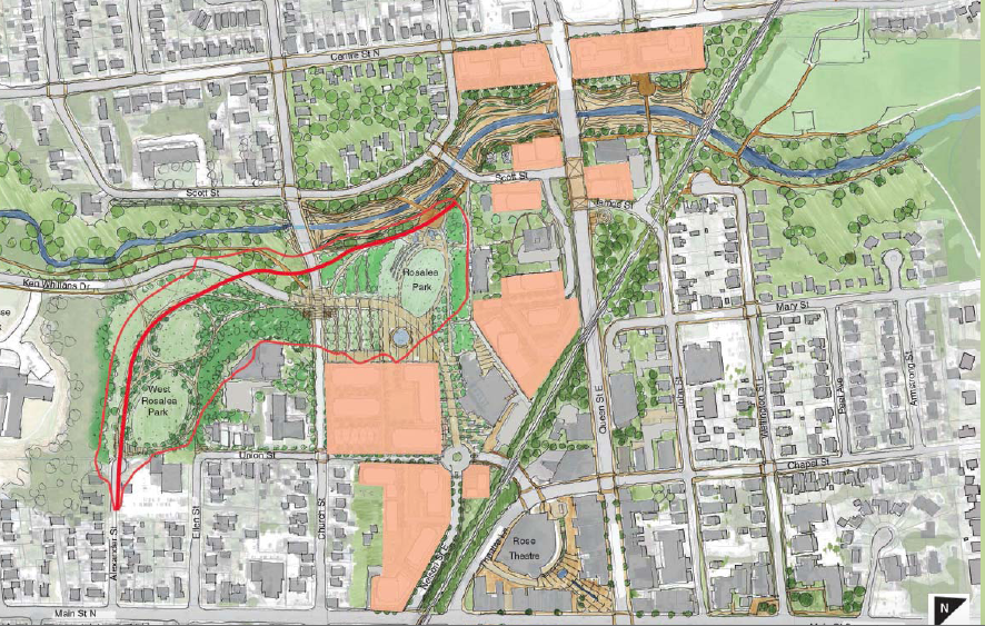
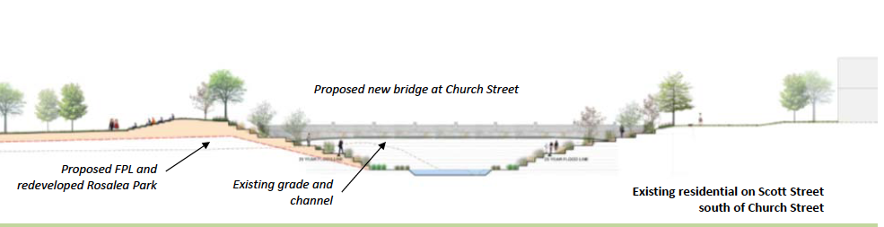
For the underground options, they compare different
surface cross sections and they compare a George street alignment (not sure why they bother considering it performs worse in absolutely every metric) but they don't compare portal locations.
View attachment 304678
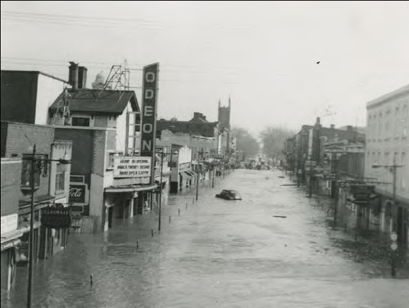
There might be a valid reason for this (gradient, portal location, avoiding building a new bridge over Etobicoke creek, water table, etc.) but I find it strange that the only underground options all start from south of Nanwood:
- It tunnels for an extra 1.25 km through an area with plenty of RoW and generous setbacks
- The portal and Nanwood stop are both located in a flood plain