


Jonny5
Senior Member
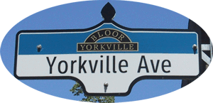
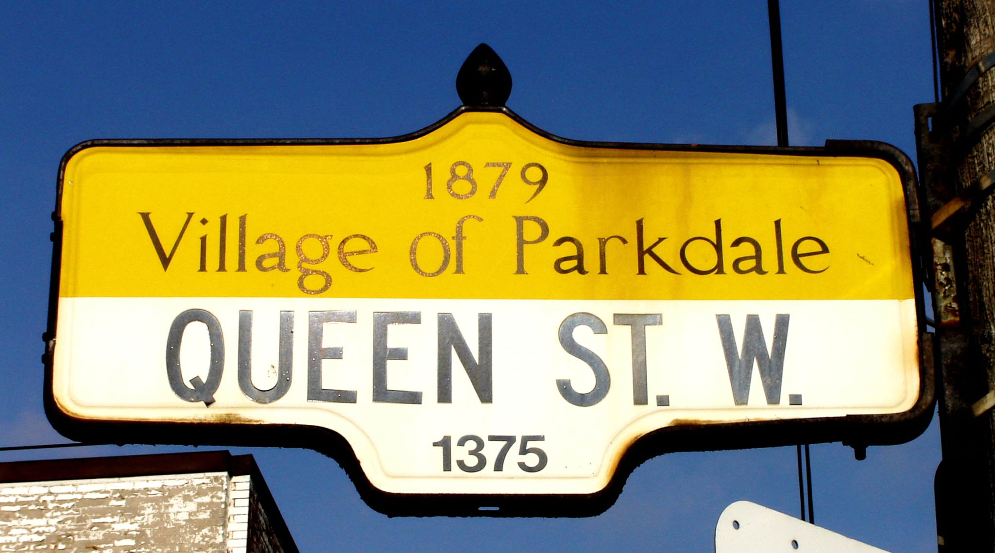
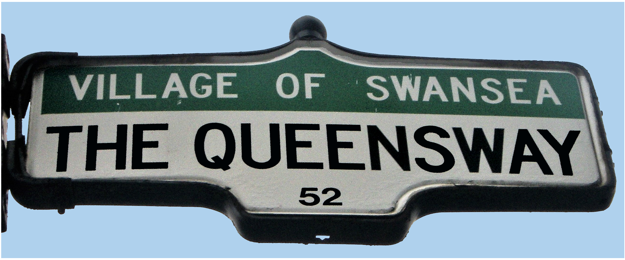
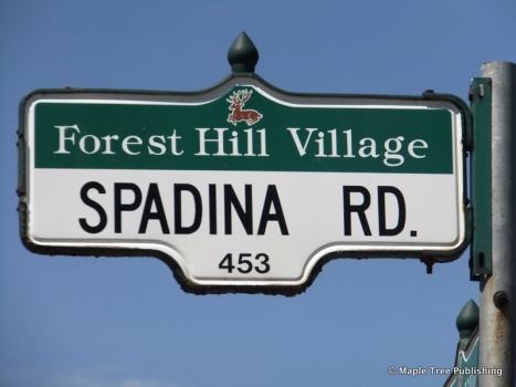
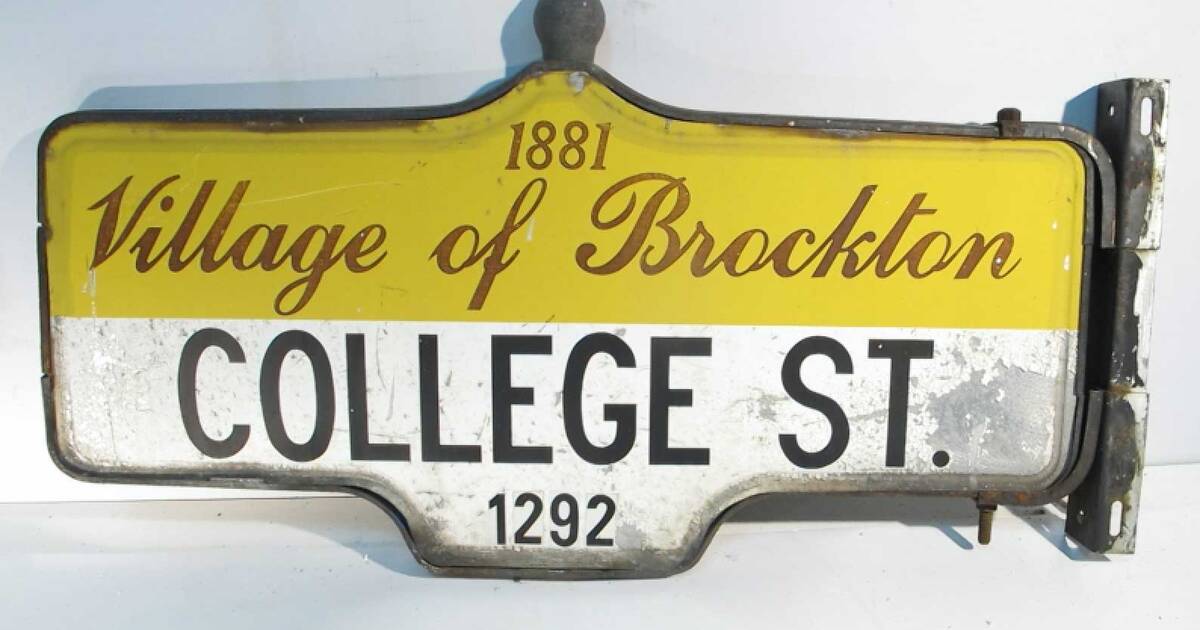
Compared to former Hamilton-Wentworth as an example, the Metro cities were never well defined and never had much of an identity. No traditional downtowns as they simply developed as extensions of Toronto. And street names and address numbering were Metro-wide and ignored municipal boundaries.
You certainly don't see signs like this in Toronto:
View attachment 374736

Google Maps
Find local businesses, view maps and get driving directions in Google Maps.www.google.ca
I think the existence of "identity" for a named place is too complex in the minds of people to verify with a simplistic test as to whether it has a downtown or a border sign to be real. I actually think those don't matter at all, and I say that speaking as someone who grew up in Hamilton and never really saw much or any distinction between it and Stoney Creek, both on and off the mountain, even when they were separate.
What actually matters are the social and cultural dynamics you experience, especially growing up, which are impacted by many things from government to geography to class and race.
Scarborough was Scarborough. It was not ever Toronto and in many ways it still is not today. Ever watch the news in the 80's? "Shooting in Scarborough" was the headline vs. "Shooting at Yonge & Dundas." There was very much a very defined Scarborough identity, and while crime was the one you would see on the local news, it was played out in a very much different ways for different people, especially those involved in local organisations which started/stopped at Victoria Park.
That's part of the reason even the NHL still notes players are from Scarborough, not Toronto, because that is how those players identify themselves to this day, as playing for Scarborough youth hockey.
Last edited: