Architourist
New Member
Hey everyone,
Dave, the "Architourist" from the G&M here. My editor is hot on the idea of a piece about ways to get around neighbourhoods that don't involve walking the busy streets, what with all the auto-pedestrian accidents lately.
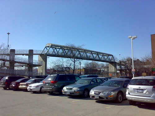
I'm hoping to write a piece on neighbourhoods that feature fairly extensive footpath systems (like Don Mills) and/or interesting footbridges (i.e. pedestrian only). Just a survey of 5 or 7, and I don't need to know the architects or dates of construction (tho' that would be nice). I can think of an interesting footbridge that carries Heath St. W. across the ravine between the Moore Park neighbourhood to the Bennington Heights 'hood (Google Satellite map it and you'll see what I mean)...there's also that Calatrava footbridge. But what else?
While I won't be able to give credit to individual forumers as I've done in the past (my editor says it takes up too much space and makes the column too "busy"), I will credit the UT site itself. And, with my editor's permission, I may also mention UT's recent design charette for a pedestrian bridge...and if the winner doesn't mind some press perhaps I'll provide the pic...(and their name, should they want it revealed).
But, for now, just your suggestions on 'hoods I might explore.
Oh...and THANKS.
Dave, the "Architourist" from the G&M here. My editor is hot on the idea of a piece about ways to get around neighbourhoods that don't involve walking the busy streets, what with all the auto-pedestrian accidents lately.
I'm hoping to write a piece on neighbourhoods that feature fairly extensive footpath systems (like Don Mills) and/or interesting footbridges (i.e. pedestrian only). Just a survey of 5 or 7, and I don't need to know the architects or dates of construction (tho' that would be nice). I can think of an interesting footbridge that carries Heath St. W. across the ravine between the Moore Park neighbourhood to the Bennington Heights 'hood (Google Satellite map it and you'll see what I mean)...there's also that Calatrava footbridge. But what else?
While I won't be able to give credit to individual forumers as I've done in the past (my editor says it takes up too much space and makes the column too "busy"), I will credit the UT site itself. And, with my editor's permission, I may also mention UT's recent design charette for a pedestrian bridge...and if the winner doesn't mind some press perhaps I'll provide the pic...(and their name, should they want it revealed).
But, for now, just your suggestions on 'hoods I might explore.
Oh...and THANKS.