Joined by the Toronto and Region Conservation Authority, Waterfront Toronto, Scotiabank and Councillor Pam McConnell, Heritage Toronto unveiled two plaques on June 25 commemorating the role of the Don River in Toronto's earliest years. One plaque recognizes the lower Don River railway crossing, while the other recalls the straightening of the river in 1892.
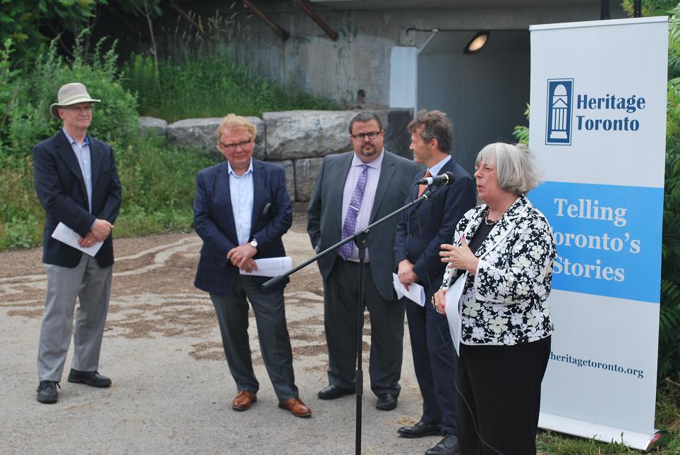 Councillor Pam McConnell speaks about the Don River in front of the Bala Underpass. Image by Marcus Mitanis, 2014/06/25.
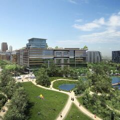
The plaques are situated along the Don River Bicycle Trail just east of Corktown Common at the Bala Underpass, which both opened in 2013. The site is where the first railway crossing over the Don River was built in 1856. The crossing formed part of the Grand Trunk Railway's main line, which connected Canada's two largest cities, Toronto and Montreal.
The Grand Trunk built a new bridge in 1892 using the 1856 abutments that can still be seen today on the eastern riverbank. To allow a safer and more accessible route to the lakefront, the current elevated tracks were built in 1930 for the Canadian National Railway. After the river was widened for flood-control in 2007, the original stones from the 1856 abutment were relocated to act as a retaining wall and makeshift seating for the Bala Underpass.
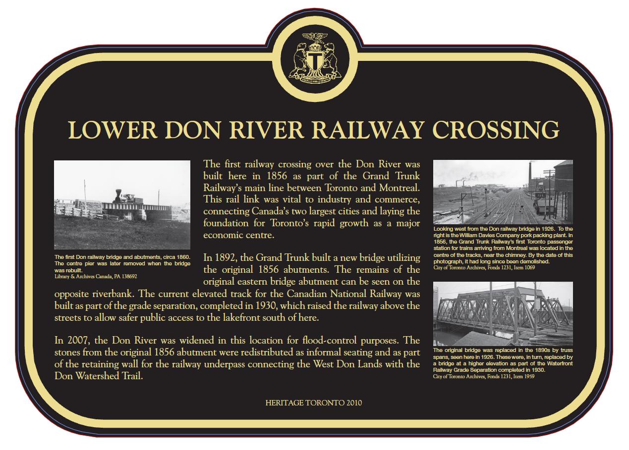 The lower Don River railway crossing commemorative plaque. Image courtesy of Heritage Toronto.
The lower Don River itself was not always the straight waterway we know today leading into the Toronto Harbour. Originally meandering near its mouth, the river became a threat to Toronto's growth as its natural cycle of flooding occurred. The threat of flooding combined with heavy pollution led to the City's creation of the Don Improvement Plan in 1886. The goal of the plan was to speed up the slow-moving river and contain its flow to prevent flooding.
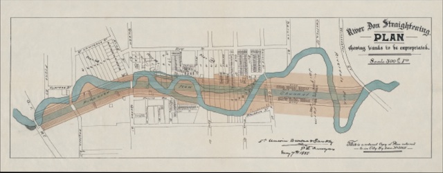 Close-up showing the original course of the Don and the straightened channel, image courtesy of Heritage Toronto
Although it took five years to complete at double the projected cost, the river had been straightened, widened and deepened from around Gerrard Street to Lake Ontario. It was hoped the straightening of the river would bring shipping to the Don, but this was not the case. More land became available to develop, but flooding remained a nagging issue, especially during ice jams in the spring.
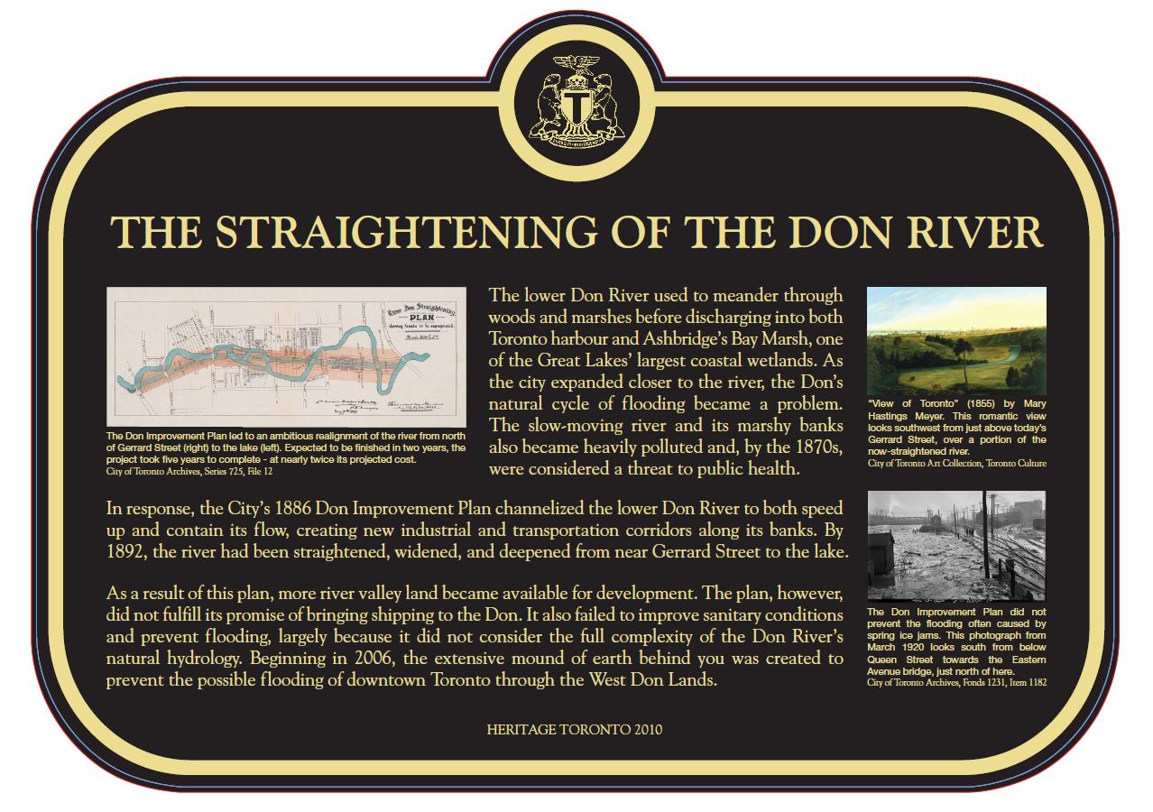 The unveiled plaque commemorating the straightening of the Don River. Image courtesy of Heritage Toronto.
In 2005, the City approved the construction of a Flood Protection Landform to prevent the river flooding the West Don Lands and the east side of Downtown Toronto. The landform, which largely consists of a landscaped ridge in the new Corktown Common park, is approximately eight hectares in size and bounds the west side of the Don River, with higher land at Queen Street to the north and the raised Kingston Subdivision railway embankment to the south. The Kingston Subdivision bridge sits just north of Lake Shore Boulevard and it was extended westward to ensure floodwaters pass underneath rather than through the West Don Lands.
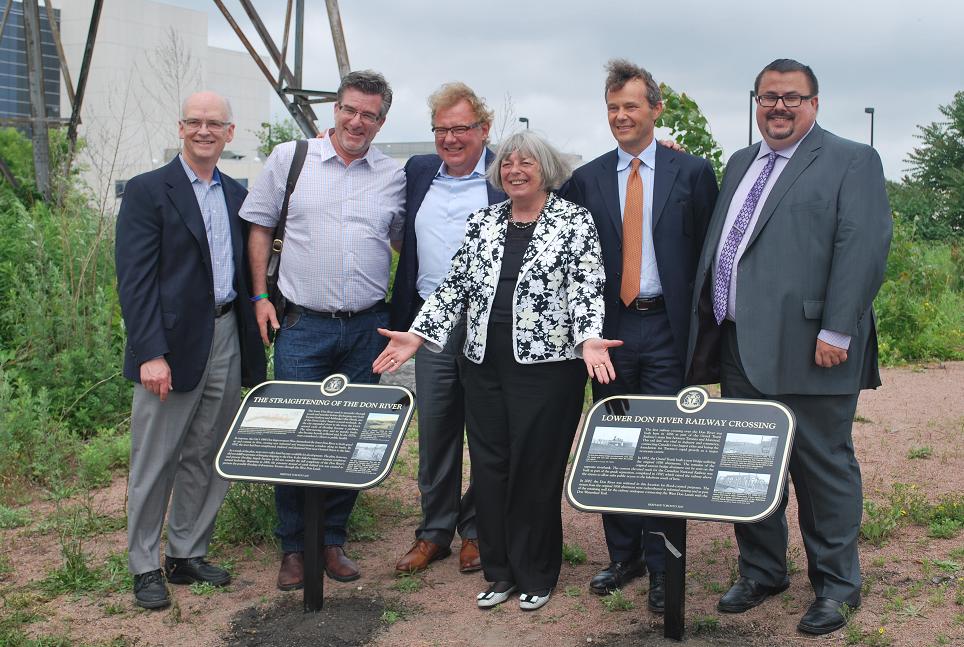 The two plaques are officially unveiled. Image by Marcus Mitanis, 2014/06/25.
Heritage Toronto reminds us that it is important to recognize the past among the busy construction activity in the West Don Lands. For information on other plaque presentations and events, click here or the official Heritage Toronto website.
Did you know the history about the railway crossing and straightening of the Don River? Leave a comment below and let us know your thoughts.

 2.5K
2.5K 


