A Grander Paris Through a Rapid Circumferential Metro
French national government and Paris region officials agree to more than €30 billion in transit improvements by 2025.
From an international perspective, there are two really significant things about the newly approved plans for a radial rapid transit system around the French capital: First, its primary service area will be in the suburbs rather than in the center city; second, it will prioritize very fast transit times over local area connectivity.
These characteristics make last week’s agreement by regional and national officials to construct the Grand Paris Express network of rapid transit lines a truly significant pattern break in thinking about how to engage in the creation of better public transportation systems. Will this €22.7 billion ($31 billion) transit line, in connection with €12 billion in upgrades to the existing system, make Paris a model for local mobility? Or does it represent poor decision-making on the part of French authorities?
The agreement will require €9 billion in contributions from the state, €9 billion from the region and other local governments, €7 billion from new taxes mostly derived from tax-increment financing around station areas, and €7 billion from debt. It comes after years of political debate over how to better serve Paris’ near suburbs — and at the end of a series of public meetings on the question which will come to an end on Monday. Two proposals have been put forward: Regional authorities have been pushing what they call the Arc Express, a 37-mile route that would run a tight circle around the city and serve 50 stations or so; the national government, on the other hand, argued for its Métro Grand Paris, a 96-mile extension of the Metro Line 14 serving airports and far-off suburbs with only about 40 stations. To make matters even more complicated, a group of architects even submitted a counter-proposal.
The two government projects were fundamentally opposed in their basic conception of the role of transit — the first suggested that fine-grained station stops were essential, whereas the second argued for fewer stations and faster service — but each was concentrated on addressing the travel needs of people in the suburbs, who currently are required to enter into Paris to complete most trips by rail transit. The near-in suburbs, collectively referred to as the Petite Couronne and encompassing three départements (counties), have a population of about 4.4 million, compared to the 2.2 million who reside in Paris proper.
Whereas the final agreement, called the Grand Paris Express, has essentially combined the two routes into one system, the national government’s effort to decrease travel times rather than serve more neighborhoods has mostly won out. The project, which will be the first new metro line announced for Paris since 1989 and the first new system conceived since the 1960s, will significantly speed travel between destinations along its corridor.
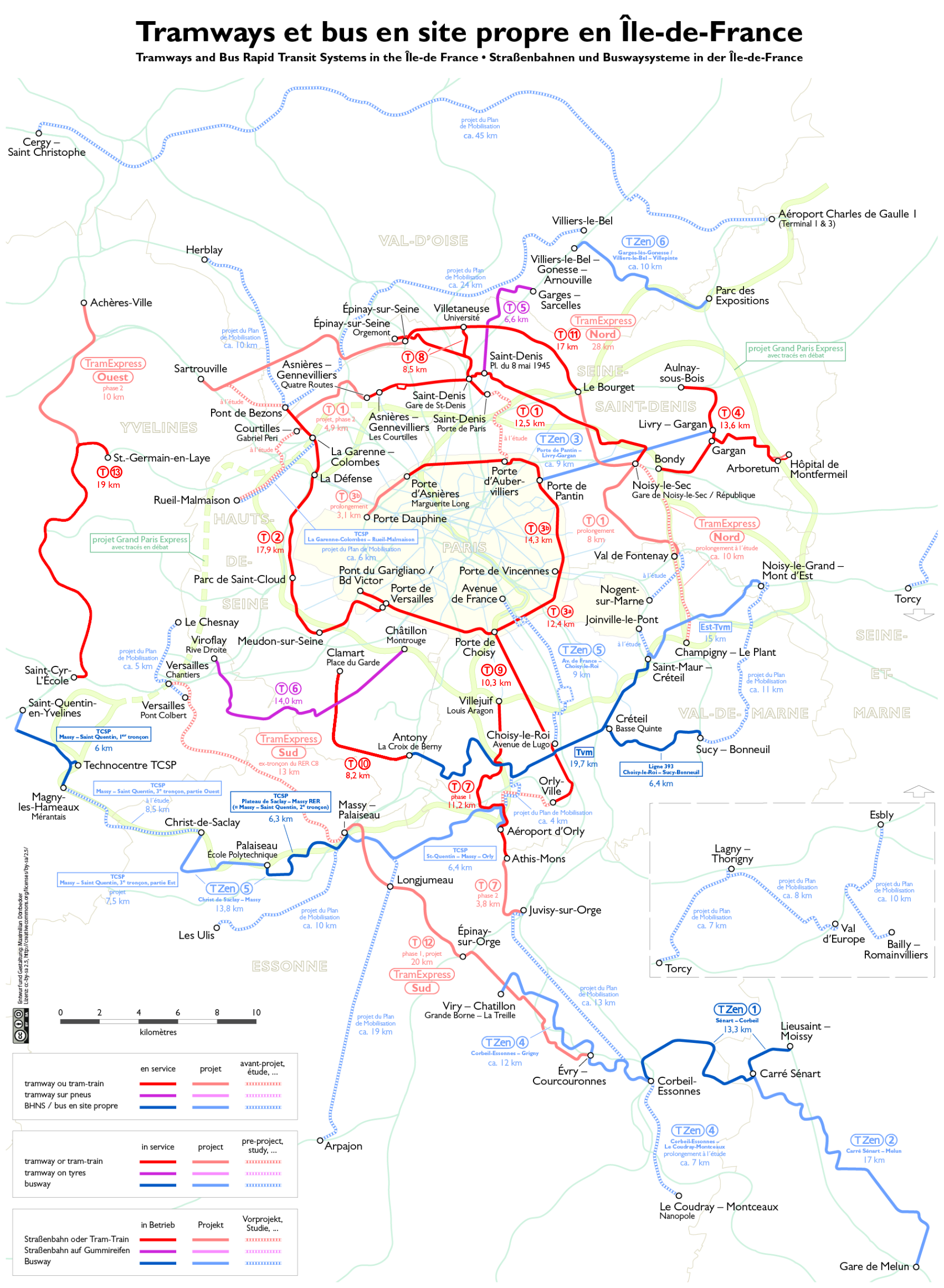
Automated trains running 24 hours a day will be up and running along some segments of the line by 2020 and the whole project should be completed by 2025. Operations will be comprised of an extended Metro Line 14 south to Orly Airport and north to St. Denis as the backbone of the system; a spur to Charles de Gaulle Airport; two parallel circumferential routes to the east of the city; and one or two circumferential routes to the west. The southwestern line, proposed to serve the university town of Saclay, has been criticized for running through a rural area that is unlikely to attract much ridership, or that will sprawl out of control. Though President Sarkozy has emphasized his support for the line, the regional government — partly controlled by the Green Party — has thus far refused to agree to this part of the project, saying they will only fund improved buses for the area.
Combined with about €12 billion in other funds also now dedicated for upgrades for the radial RER regional rail system, several new tramway and tram-train lines, and a number of metro extensions, the Grand Paris Express represents a massive investment in suburban mobility. The funding mechanism, premised on the idea that development will expand around stations, suggests that both the national and regional governments are committed to building up the already dense suburbs into truly urban areas of their own right. If the Paris region is known for very high transit mode shares within and to the center city, the automobile still dominates 80% of trips between suburbs. This infrastructure investment seems likely to change that equation significantly.
Signing an agreement to fund €30 billion worth of infrastructure would be a big deal in any country, but Paris’ announcement is particularly significant because it required negotiation and accords between a left-wing regional government and right-wing national government. Since both will be contributing to the project’s costs, each had to agree to all of the proposed routes. At least for now, this eliminated the least reasonable part of the plan — the southwestern segment — and guaranteed a second alignment for the areas to the northwest of the city, which are some of the country’s densest and most impoverished.
That said, the Grand Paris Express project is certainly taking a major risk by emphasizing fast speeds over neighborhood access. By limiting stops to every kilometer at the minimum (with several sections featuring inter-station intervals of 5 km or more), most people along the alignment will not be within an easy walking distance of a station. Once they get onto a train, however, they will be within about an hour’s access of almost everywhere in the built-up metropolitan region; similar conditions currently cannot be found anywhere in the world’s megacities because of the radial arrangement of transit lines almost everywhere that slow suburb-to-suburb travel.
One way to handle this problem would have been to implement an express-local arrangement such as is present in New York City, but this evidently was not under consideration by French planners. The construction of dense urban villages around stations with the goal of concentrating most of the metropolitan area’s growth within them, though, could reduce that problem significantly, especially since tramway lines already under construction throughout the suburbs will aid in picking up local passengers and depositing them onto the express system.