F
FutureMayor
Guest
The plan also involves co-ordinating transportation throughout the region
If they are taking about highways, yes. But public transit it a complete lie.
Louroz
|
|
|
The plan also involves co-ordinating transportation throughout the region
It should be illegal to build or develop any farm land. Quebec made this a law IIRC in the 1960s when their independence movement was growing, thus ensuring they could feed their people if the Rest of Canada stopped food shipments to Quebec.
I was fortunate enough to be invited to participate in some of the planning sessions for Places to Grow, and in 2007 I wrote that it was the best land-use plan I have ever seen. I’m still not sure that I have seen a better one, at least in concept: the plan, if fully implemented, will channel growth to the places within the Horseshoe region where environmental impacts will be reduced compared to an unmanaged scenario, as well as to places, including distressed inner city neighborhoods, that would benefit from more investment, jobs and people.
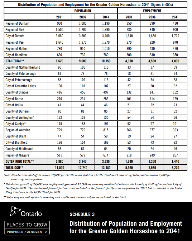
The Horseshoe region is forecast to grow by 3.7 million people (a 47 percent population increase) and 1.8 million jobs by 2031. It is already home to a quarter of Canada’s population and will soon be the third-largest urban region in North America. Imagine the consequences if development is allowed to spread all over the land, without good planning. Imagine the lost landscape, the additional roads and traffic, the pollution, the lost habitat, the global warming emissions.
Here’s how Places to Grow seeks to prevent that from happening:
By 2015, a minimum of 40 percent of new residential growth in each municipality must occur not on what is now forest or farmland but within existing cities and towns, via such measures as building on vacant parcels, converting brownfields and grayfields to new uses, and redeveloping obsolete properties.
The plan places special emphasis on downtowns, transit corridors, and “major transit station areas.” Downtown areas, in particular, must strive to accommodate about 90 residents and/or jobs per acre by 2031, with highly urban Toronto’s target set at twice that amount.
The plan recognizes that not all growth can occur in existing communities, and municipalities may also go through a process to designate greenfield areas for development. But greenfield development, when it occurs, must create complete communities, with development configurations and streets that support transit services, walking, biking, parks, and a mix of housing and jobs. And it must be built to a scale that makes efficient use of land, accommodating a minimum of about 20 residents and jobs per acre.
All growth areas must accommodate affordable housing.
Development generally may not occur outside of the designated areas. Areas important to natural resources or the environment must be protected, and there are restrictions on development of prime farmland.
To support the plan, the government hopes to provide substantial public transit investments and other necessary infrastructure over five years.
“All 19 upper- and single-tier municipalities with official plans have adopted amendments to conform to the Growth Plan. These are currently in effect or in the approvals process... “Nearly half of the lower-tier municipalities in the Greater Golden Horseshoe have adopted an official plan amendment to conform to the Growth Plan.”
In a scathing 2009 report (three years into the 25-year implementation period) titled Places to Sprawl, the Ontario Greenbelt Alliance charged that four of the 21 upper-tier (basically, county-level) municipalities had "passed, or drafted, official plan amendments that contain growth strategies that directly contradict the intent and spirit of the Places to Grow Act...
In particular, in the five years immediately prior to plan adoption, the share of multifamily and attached housing starts in Toronto, Hamilton, Oshawa and their inner suburbs was 53 percent; in the five years since adoption, the share has increased to 62 percent...
of the 63,000 new residential units that were added to the Greater Golden Horseshoe between June 2009 and June 2010, approximately 44,300 - or 70 percent - were located within the existing development footprint....
...according to data collected by the Canadian Urban Transit Association, the annual number of passenger trips taken by transit in the Greater Golden Horseshoe has grown steadily from 526 million trips in 2004 to 657 million trips in 2009."