News   May 14, 2024
 1.5K     1 
News   May 14, 2024
 1.4K     1 
News   May 14, 2024
 587     0 

Miscellany Toronto Photographs: Then and Now

Once again returning to the Leaside area, if I may.
Upon discovering this map, I was surprised to see that the lots on (present-day) Research Rd. had been designated as early as 1910 - see centre of map.
This is immediately adjacent to the Leaside Aerodrome lands which were developed later.

Those Goad's Maps are known to include plans of subdivision that never happened. That was probably the case with 'M11' & '697'.
Here's the 1924 Goad's from the Toronto Archives site. You'll notice that Leaside wasn't ultimately developed as shown in the map.

Leaside1924.jpg
 
I need to see a map of this area in Leaside that shows the exact location of the Aerodrome.
Does such a map exist?
 
I don't know if one exists, but I found this site

http://www.ontarioroadmaps.ca/
Welcome to my collection of Ontario Road Maps. My goal is to present an informative site about automotive based road maps that have been produced over the years to help people find their way around Ontario. - Neal Wilson
He has scanned some of the 'Metro Toronto' maps. For example, this one from White Rose from 1940.
Toronto.jpg
 
Last edited:
I don't know if one exists, but I found this site

http://www.ontarioroadmaps.ca/
Welcome to my collection of Ontario Road Maps. My goal is to present an informative site about automotive based road maps that have been produced over the years to help people find their way around Ontario. - Neal Wilson
He has scanned some of the 'Metro Toronto' maps. For example, this one from White Rose from 1940.
Toronto.jpg

Interesting how clear the 1940 map makes it the lack of major north-south routes east of Yonge, leading to the linking of Mt. Pleasant with Jarvis at the end of the 40's, the Bayview Extension and ultimately the Don Valley Parkway.
 
I don't know if one exists, but I found this site

For example, this one from White Rose from 1940.
Toronto.jpg

Thanks for those links, Anna.
That map interested me particularly because of the large area shown to be "Todmorden."
I had no idea that it ever extended as far as Woodbine.
It looks as if some mapmaker thought East York (in 1940) could be called Todmorden.
And there's a place called "Donlands" on Don Mills Rd. (between Eglinton & Lawrence).
I wonder what that location is today.

I think Donlands was a railway station/stop - where the CPR crosses Don Mills Road & where you took those photos of the underpass under construction.
 
Thanks for those links, Anna.
That map interested me particularly because of the large area shown to be "Todmorden."
I had no idea that it ever extended as far as Woodbine.
It looks as if some mapmaker thought East York (in 1940) could be called Todmorden.

Which also says something about how mapmakers deemed townships to be unimportant--if you notice, there's no indication of East York, York, North York, Etobicoke, or Scarborough. (I suppose it's because townships were undifferentiated land masses rather than "places"--and of course, "places" are where the early motorists and travellers could expect to get "services", or something.)
 
I don't know if one exists, but I found this site

http://www.ontarioroadmaps.ca/
Welcome to my collection of Ontario Road Maps. My goal is to present an informative site about automotive based road maps that have been produced over the years to help people find their way around Ontario. - Neal Wilson
He has scanned some of the 'Metro Toronto' maps. For example, this one from White Rose from 1940.
Toronto.jpg

Thanks for the photo and link Anna. I knew dawes became Victoria Park but I never knew they used both names at the same time. Check out this link Goldie for a good photo of one of the Leaside hangers , I am still on the hunt for a proper map or aerial of the site.

http://www.vintagewings.ca/VintageN...phies-and-the-Nascent-Canadian-Air-force.aspx
 
A useful link, brewster.

I had never before seen those two shots taken at leaside - thanks.
 
I'll let you all continue the Leaside Aerodrome discussion apace, because I've nothing to add. :) In the meantime:


Then and Now for Dec 29.


Then. Queen and Booth NW corner. c1920. Dunlop factory. Thanks to wwwebster for another rare pic.

329QueenBoothNWc1920.jpg


Now. July 2011.

330.jpg
 
Last edited:
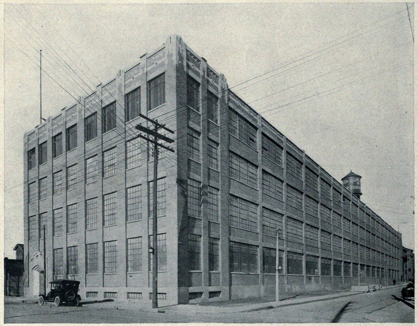
Well, it looks like it belongs to the Toronto Public Library but I can't find it online.
They've improved that part of their website - you might be interested in this one
pictures-r-3411.jpg


Salmon's negative envelope (for Accs. S 1-2917A & B) inscribed by him in very dark greenish blue ballpoint pen, u.l.: LEASIDE HANGERS July 2/55
http://www.torontopubliclibrary.ca/detail.jsp?Entt=RDMDC-PICTURES-R-3411&R=DC-PICTURES-R-3411

OK, did these buildings not continue to exist into the 2000's but with extra structure built around them but not disguising what to me looked like old hangars?

They were painted blue and white and only disappeared relatively recently when the block was cleared.
 
Last edited:
Which also says something about how mapmakers deemed townships to be unimportant--if you notice, there's no indication of East York, York, North York, Etobicoke, or Scarborough. (I suppose it's because townships were undifferentiated land masses rather than "places"--and of course, "places" are where the early motorists and travellers could expect to get "services", or something.)

I'm also wondering if postal addresses have to do with the "Todmorden"--for instance, in pre-Metro, pre-postal-code days, what would East York's suburbanites have given as their postal destination? (Sort of like "Islington", "Downsview", "Agincourt", et al) Seems to me that giving a township as a postal destination was quite uncommon in those days...
 
I'm also wondering if postal addresses have to do with the "Todmorden"--for instance, in pre-Metro, pre-postal-code days, what would East York's suburbanites have given as their postal destination? (Sort of like "Islington", "Downsview", "Agincourt", et al) Seems to me that giving a township as a postal destination was quite uncommon in those days...

As early as the 1940s, the name "Todmorden" was unknown to most East York residents east of Pape Ave.
Todmorden was considered to be the area around Broadview & Pottery Rd.
It's quite likely that our postal address would have been 'East York.'
 

Back
Top