Anna
Active Member
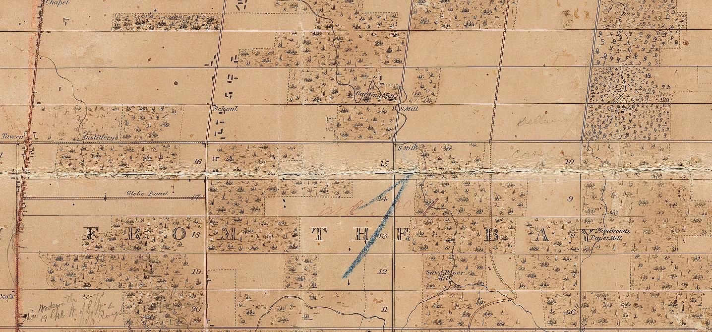
Yes, I believe there was nothing but a few farms and branches of the Don River (in deep valleys) between Leslie and Victoria Park.
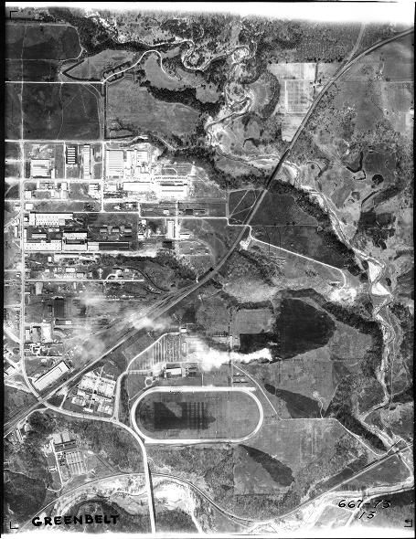
There was certainly no Eglinton Ave. at Don Mills Rd. when IBM was built in 1951.
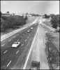
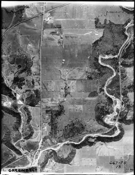
I found this picture in a set described as "Ravine on Don Mills Road at Eglinton Avenue East" - 1956. I have no idea where the same view would be now.

There are a whole bunch of photos on the Toronto Archives website - Fonds 220; Municipality of Metropolitan Toronto fonds - Series 65; Metropolitan Toronto Planning Department Library collection of Alexandra Studio photographs - showing all the road-building and road-widening that was going on in the 1950's - including the various pieces of the Eglinton extension.