News   Apr 26, 2024
 2K     4 
News   Apr 26, 2024
 445     0 
News   Apr 26, 2024
 1K     1 

Higher and faster, elevated transit isn’t always smarter (Commentary)

Keesmaat seems very much a product of the TED, Richard Florida age. Superficially, the things she says makes sense and sound profound. The brave new world of midrise avenues served by LRTs! The trade off though is TED level depth and understanding.

On the one hand, her shtick works by recombining concepts into newer, "innovative" compound concepts which have the appearance of profundity.

Because everything is so "innovative," the entire academic, technical, economic and social contexts of the issues get totally ignored and any criticism is minor. How on earth could a reporter publish a statement by a senior civil servant, who should be an expert, comparing something like a transit viaduct to the *freaking Gardiner*?!?!

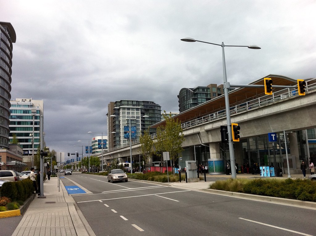
I once went to a lecture by an academic who analyzed hundreds of official plans and site plans across 4 decades, and she came to the conclusion that the level of technical knowledge and citation of actual evidence declined with every passing year. By the 2010s, many plans were based entirely on opinion and popular sentiment, with no reference to any technical knowledge or rigorous study whatsoever. The whole "midrise avenues" idea versus "elevated = bad" is a good example. There have been almost no examples of at-grade light rail lines leading to midrise avenues development along suburban arterials. Even if they do, will long corridors of midrise development really lead to outcomes we all agree are good? At the same time, there are plenty of examples of cities where elevated railways neither depress property values nor are considered to be aesthetic blights. It's telling that one of the most celebrated public space projects of the past 20 years - the High Line - is a former elevated rail line.

Like so many other areas, planning has entered an era where just saying things in a splashy way will make it 'true'. Also, we've entered a culture where "saying things" is more important than "doing things"; planners are celebrated who know how to broadcast ideas to as many people as possible, even if they don't know how to turn those ideas into - literally - concrete achievements. So, it may be more important for a senior civil servant to know how to use Twitter than to understand the realities of how transit projects are built.
 
Last edited:
The debate should be off the road, versus in the road. The technology or elevation is secondary after that. And off the road adds to the cost to assure less stops.
 
The debate should be off the road, versus in the road. The technology or elevation is secondary after that. And off the road adds to the cost to assure less stops.

My view is:

On-The-Road (Busses, Streetcars, Surface Transit City LRTs) should be for local routes.
Off-The Road Grade Separated "Rapid Transit" (Underground / Elevated LRTs and Subways) should be for longer distance, cross-town routes.

Sheppard and Eglinton are ultimately east-west crosstown routes (with busses running as local transit) and should have been the latter - subway or elevated.

My view was that Scarborough should've stayed as an elevated LRT and the money should've been diverted to Sheppard or Eglinton so we don't end up with surface transit on those routes.
 
Strange how they didn't mention the elevated section of the Union Pearson Express, either...

The appearance of the street and sidewalk below an elevated guideway are determined by the muncipality.
In Burnaby, the areas under the guideway look awful (largely pavement and weeds)
In Richmond, they have been beautified.

On shadowing, a "side of road" allignment works better so stations do not "hover" over the street and create massive shadows. The guideway and stations can also be shorter and more "human" in scale.
A guideway and station at the side of the road forms a streetwall, just like a row of buildings would look like - and shorter than recent development projects.

And look on Number 3 Road. Four lanes of through motor traffic, plus turn lanes, and bike lanes and elevated transit! In a Canadian suburb!
But this is where I first noticed the use of new "T" signs for rapid transit, which are used now for the Skytrain/Canada Line signage.


Last edited:
Strange how they didn't mention the elevated section of the Union Pearson Express, either...

The appearance of the street and sidewalk below an elevated guideway are determined by the muncipality.
In Burnaby, the areas under the guideway look awful (largely pavement and weeds)
In Richmond, they have been beautified.

On shadowing, a "side of road" allignment works better so stations do not "hover" over the street and create massive shadows. The guideway and stations can also be shorter and more "human" in scale.
A guideway and station at the side of the road forms a streetwall, just like a row of buildings would look like - and shorter than recent development projects.

This would work so, so well for Sheppard and Eglinton East. Too bad they never studied it.
 
This article seems to suggest that Vancouver's system is exclusively elevated, when that's hardly the case. Only about 1/3 of the new Evergreen line is elevated, with tunneled and at-grade sections forming the majority of the alignment. Even the original Expo line has many at-grade, trenched or tunneled sections. My impression is that most planners and civil engineers who design transit projects with minimal political interference pick the type of grade separation that makes the most economic and managerial sense in the local context.

The idea that transit has to be "all elevated" or "all tunneled" or "all at grade" is symptomatic of the dumbing down of transit planning in Toronto, and Keesemat - who has consistently disappointed me from day one with her banal, power point understanding of how cities and systems work - is a planner for a dumb era of transit planning.

Bang on. Stipulate the minimum operating conditions (principally at-grade, or completely grade-separated in order to automate, etc), and determine the design of the line based on that. The end design of the line (elevated, tunnelled, etc) should be the end result of the analysis, not one of the initial requirements.

Vancouver has followed that principle quite well, and Ottawa is going down the same path. The process in Ottawa began with "we need a 100% grade-separated system that can handle long trains (90m, expandable to 120m), and can run with small headways on a semi or fully automated system". From there, it was determined that a tunnel was needed through downtown, because running at-grade didn't meet the requirements, and elevating didn't make sense from an aesthetics point of view.

The Western LRT extension is applying this even more extensively. Part of it is tunnelled under Richmond, part of it is decked over along the Ottawa River Parkway, part of it is at-grade along the Parkway, and part of it is using the existing Transitway trench. Each of these designs is responding to local needs, while still keeping the initial requirements in mind.
 
The debate should be off the road, versus in the road. The technology or elevation is secondary after that. And off the road adds to the cost to assure less stops.

An LRT on the road adds a significant amount of cost, because it is the wrong solution. Because in-median LRT was planned, they were forced to extend the B-D Subway to Scarborough (for about $1.2B) and there were the cancellation costs which amounted to over $400M - not to mention the wasted design costs.

I would say that an elevated solution (i.e. off the road) would have been about $1B less expensive.
 
I don't know where these morons come up with the idea that the "Golden Mile" will ever be more than it is now..........commercial and light industrial. Who cares about blocking their views?

Monorail is obviously the best choice which is why Sao Paulo is now building 3 lines with one having capacity of 49,000 pphpd. They knew they could never afford to build underground but the lines are going thru VERY heavily populated areas so monorail was the obvious choice due to being quieter {rubber wheels}, easier to build, automated, faster to build, cheaper, and far, far less shawdowing than any other type of elevated system. The use the Bombardier Innovia 111 system which apparently is viewed as the best there is. Being grade separated the whole line will be automated running every 75 seconds.

As for Richmond, #3 Road where the Canada Line goes down is a FAR, FAR more pleasing, pleasant, and pedestrian friendly road than it was before the Canada Line was built. By taking out 2 lanes, widening the sidewalks, bikeways and adding trees, the street has become quite a busy and vibrant one.
 
The idea that transit has to be "all elevated" or "all tunneled" or "all at grade" is symptomatic of the dumbing down of transit planning in Toronto, and Keesemat - who has consistently disappointed me from day one with her banal, power point understanding of how cities and systems work - is a planner for a dumb era of transit planning.

I started off being really impressed by Keesmaat - in her talks she does hit the right points that I want to hear. I wondered how she could get herself hired in a Ford/Pennachetti administration. But I am starting to see her faults, and yes, the comparison to Richard Florida - with lots of hot air - has a lot of truth to it. She has a purpose as she communicates really well, but I don't think she's the right person to be in charge of city planning.
 
Most of the elevated Canada Line is along the side of the road not down the middle.

Even if Toronto, for some unknown reason, doesn't want any elevation, comparing an elevated train to the monstrocity of the Gardiner is farcical.
 
Most of the elevated Canada Line is along the side of the road not down the middle.

Even if Toronto, for some unknown reason, doesn't want any elevation, comparing an elevated train to the monstrocity of the Gardiner is farcical.

It's not a good comparison, but NY and Chicago's elevated lines that I linked to above remind me of the Gardiner's relationship to Lake Shore. The structures cover a city street entirely, leaving it in shadows throughout the day. The streets no longer seem like pleasant places but just transportation corridors.
 
Ssiguy2 beat me to it, but I do wish monorail was taken more seriously. When people think monorail, they tend to think of people mover scaled lines* rather than rapid transit. This is a shame since more and more cities are building lines and systems which are comparable to full metros.

Chongqing is arguably the first city to build monorail rapid transit system comparable with subways, but due to the politics of the region it has sadly gone unnoticed. However San Paulo may be the game changer, creating an effect on urban planning not seen since the Chicago World's Fair over a century ago. People from cities all over the world, almost all suffering from level of traffic congestion, will see these monorail lines in urban and suburban areas moving thousands of people over city streets - with a minimal physical footprint.

*interestingly enough, a small scale monorail may have been a good option on St. Clair during the heat of the controversy.
 

Back
Top