


Mustapha
Senior Member
Hello everyone. I thought I would throw my Then and Now pictures into a new thread. No rhyme or reason here and I also thought I'd do some obscure locations.
I'll add to this thread as I casually peruse the Toronto Archives picture image resources and run errands around Toronto accompanied by my trusty Fuji F20 camera.
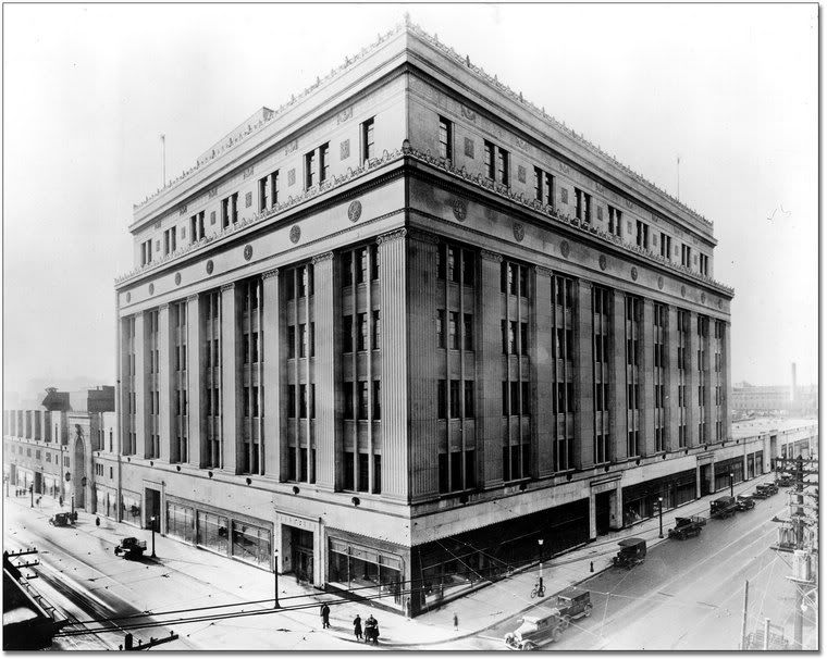
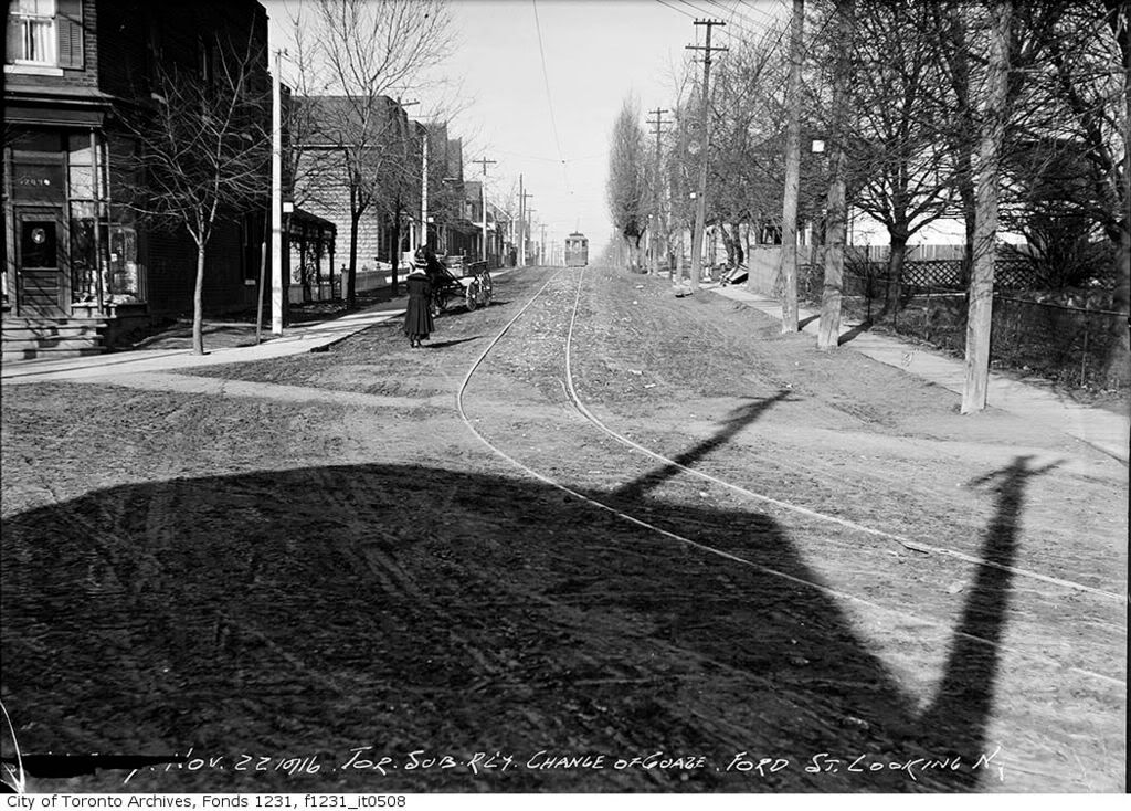
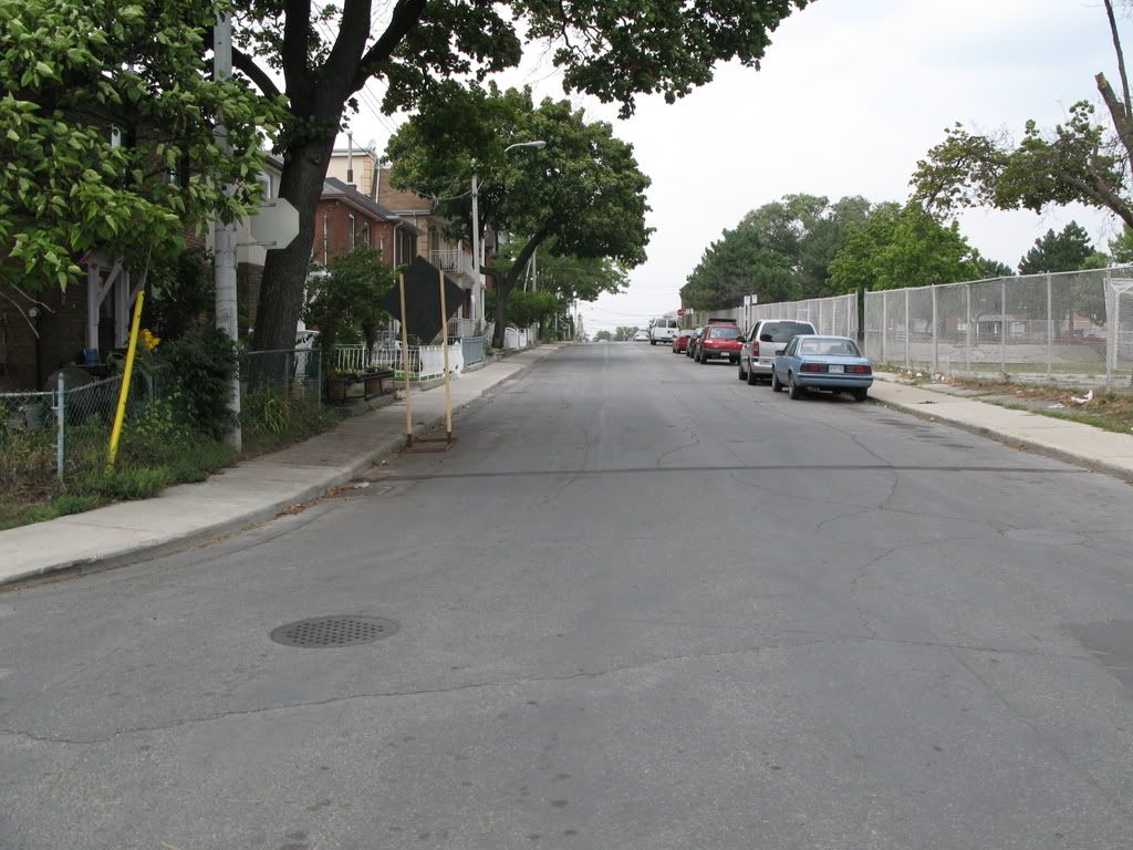
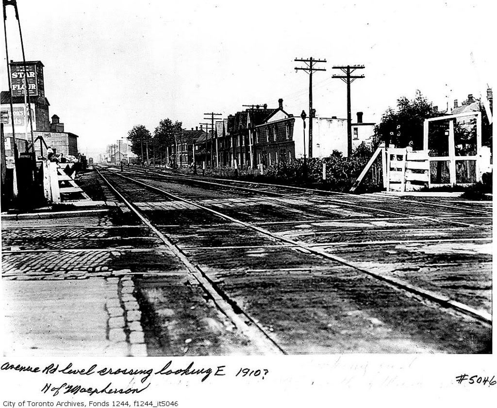
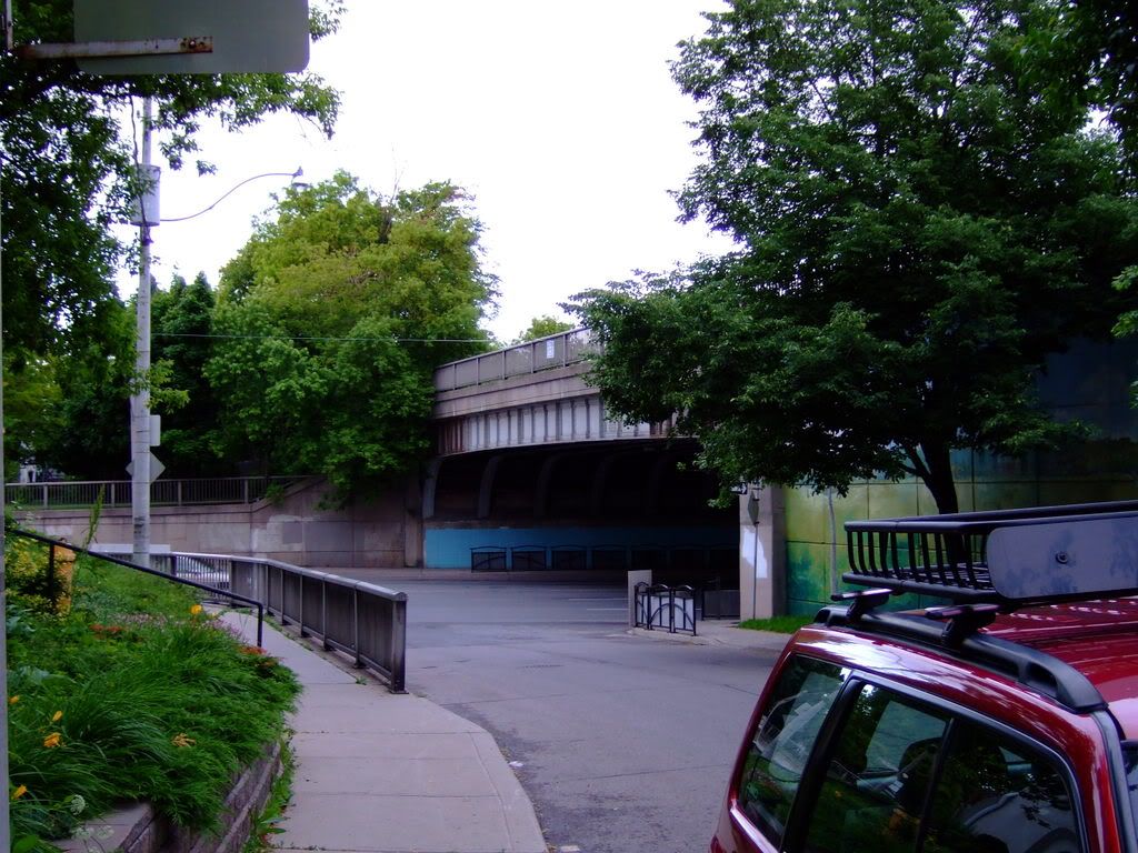
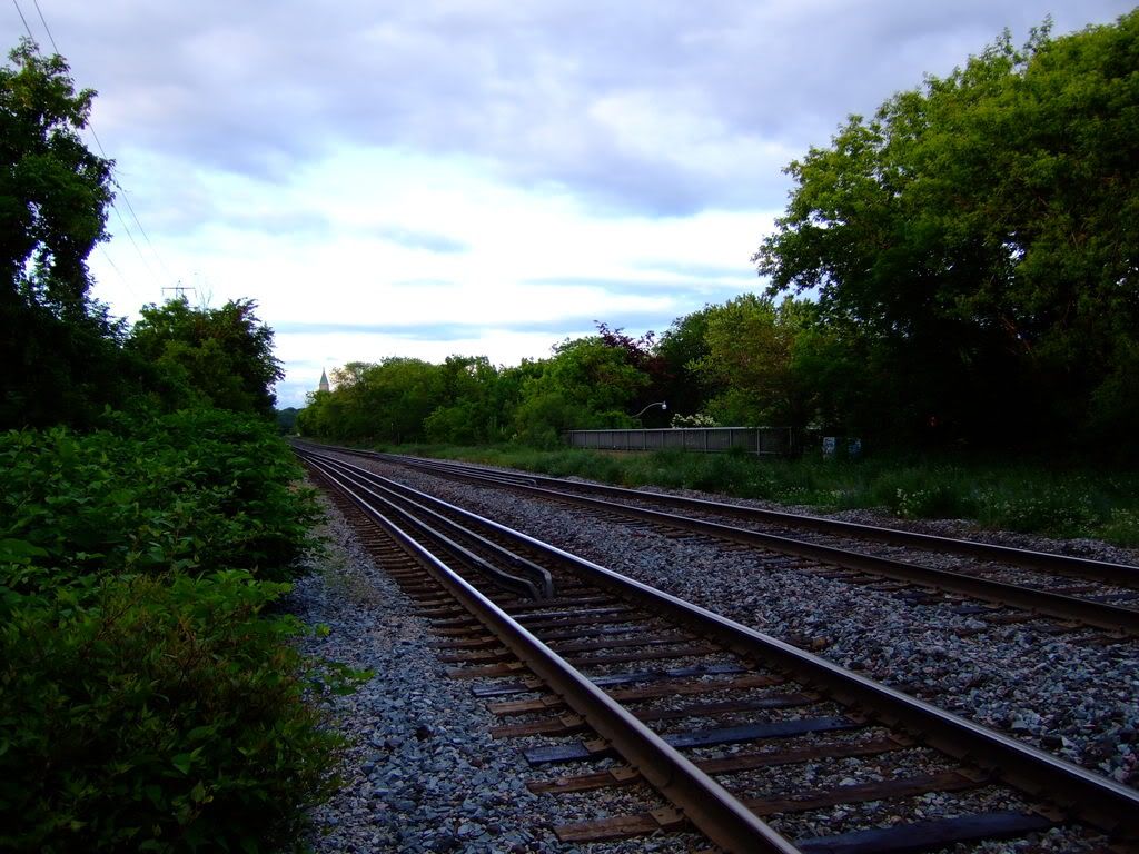
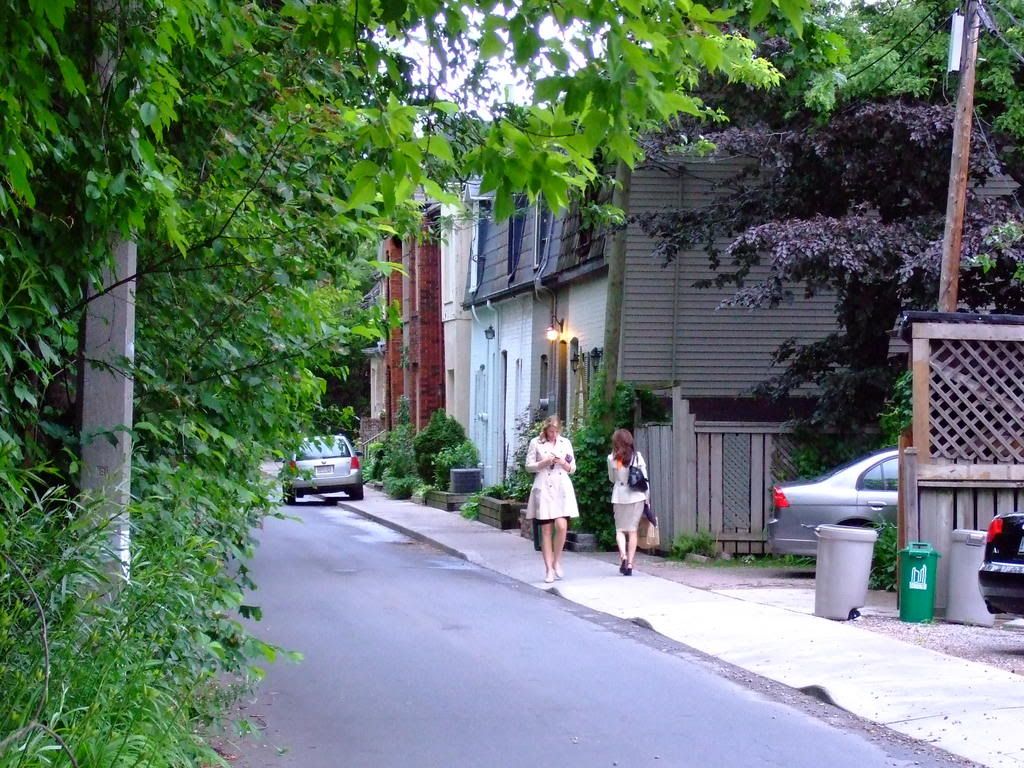
Ford Street, north from Davenport.
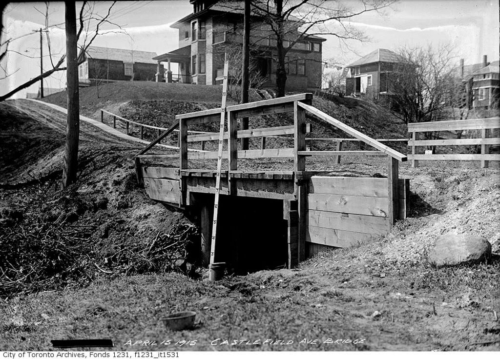
Then.
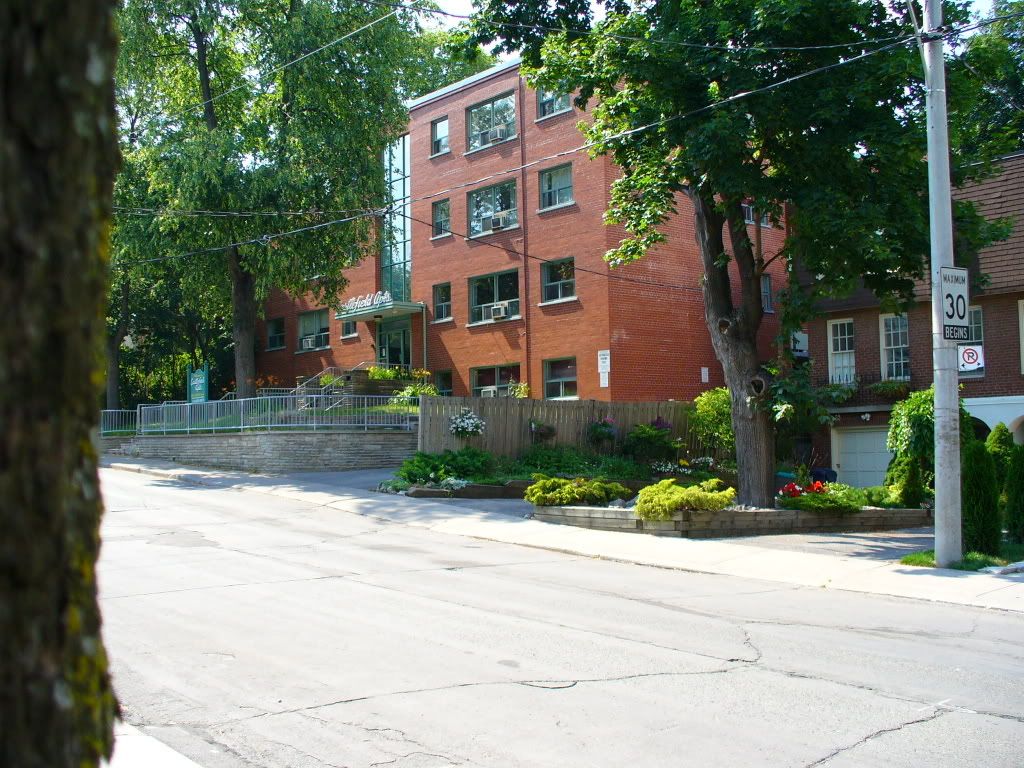
Now.
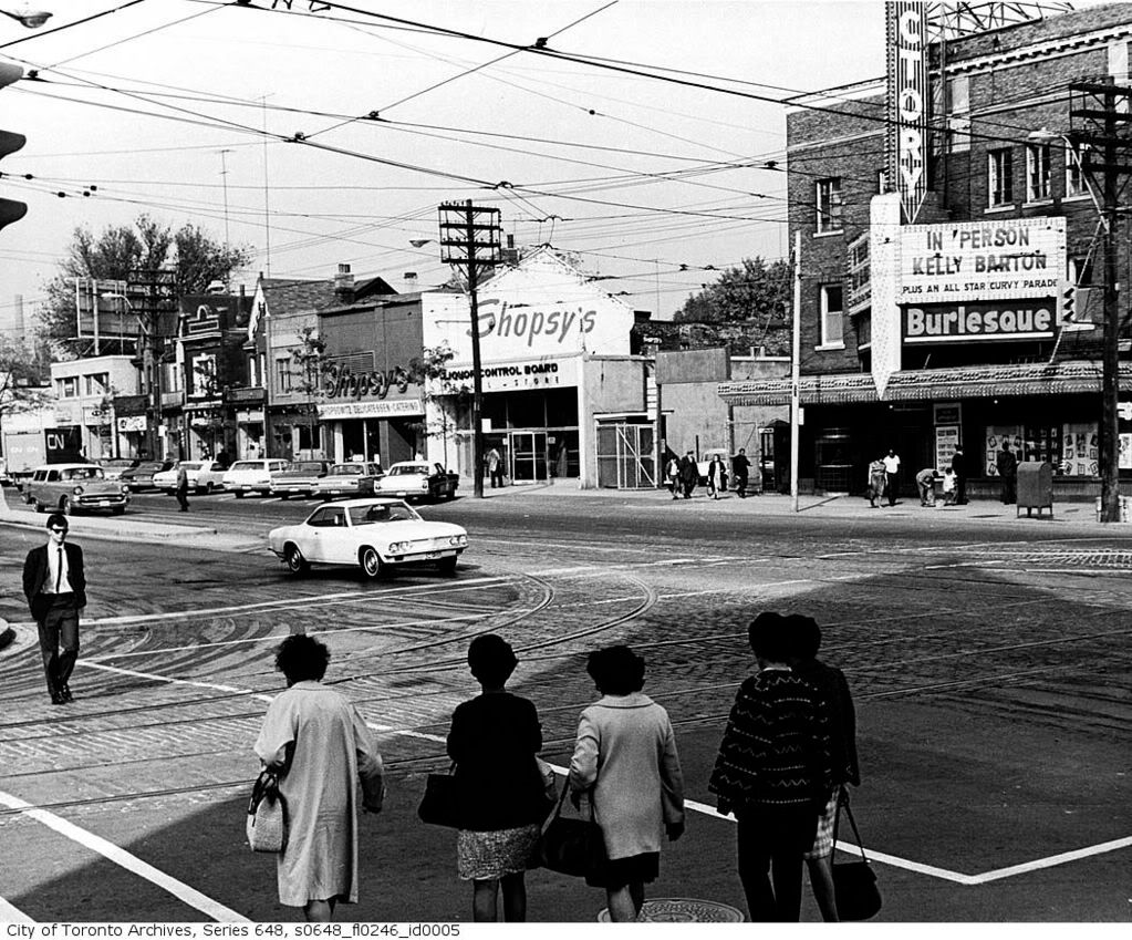
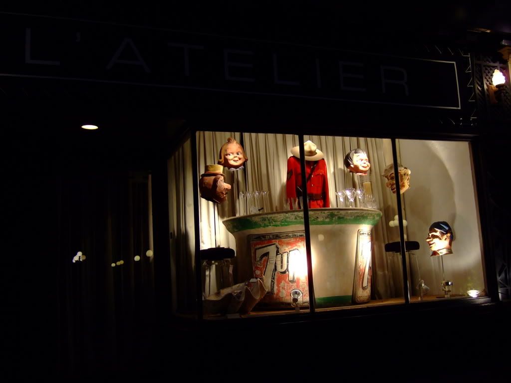
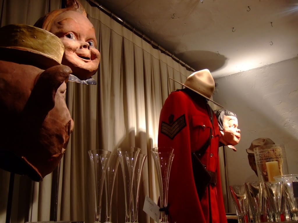
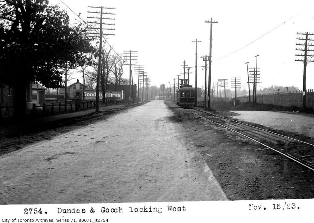
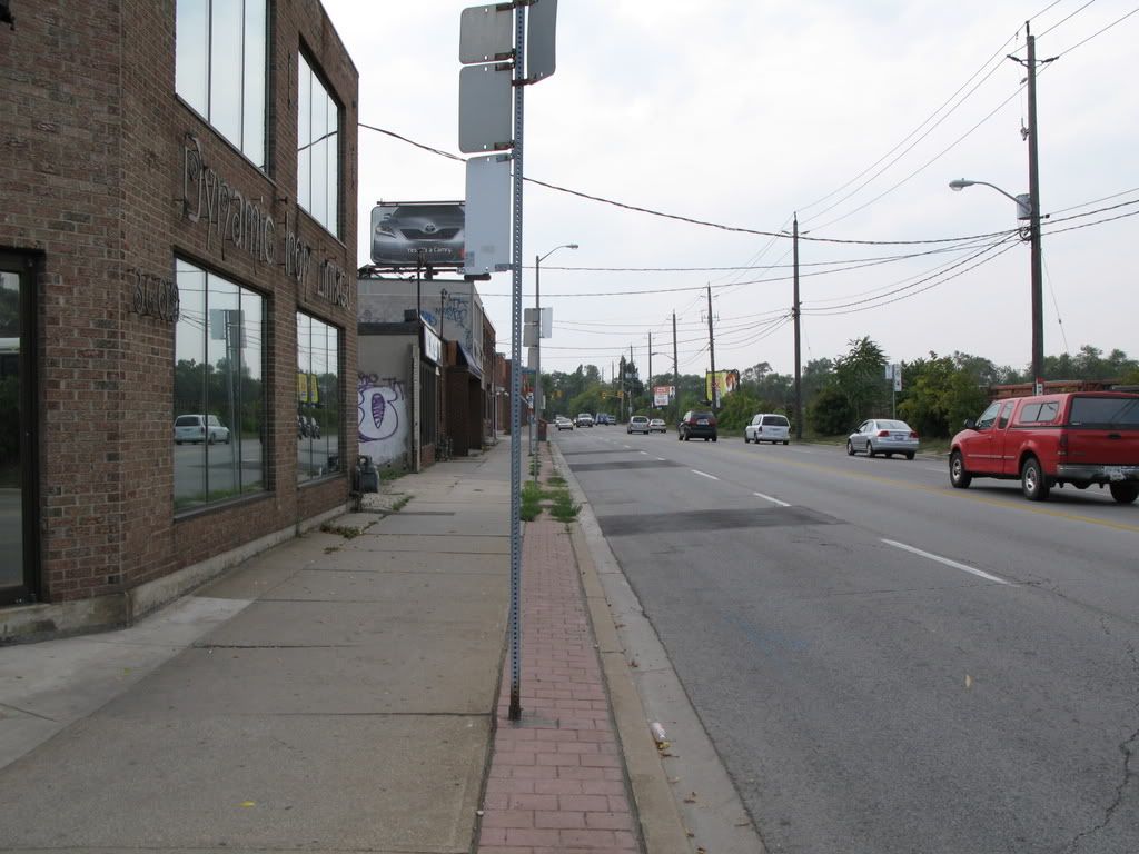
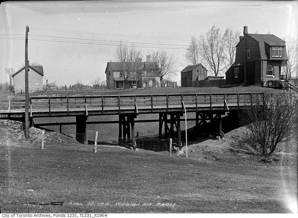
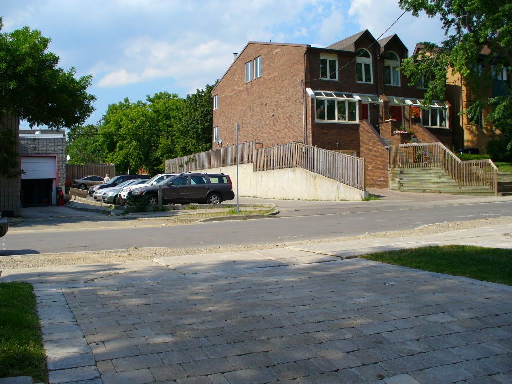
Dundas and Gooch
Then.
Now.
I'll add to this thread as I casually peruse the Toronto Archives picture image resources and run errands around Toronto accompanied by my trusty Fuji F20 camera.
Ford Street, north from Davenport.
Then.
Now.
Dundas and Gooch
Then.
Now.
Last edited:
")