Toronto Lower Simcoe Ramp | ?m | ?s | City of Toronto

Well what the hell's going on with Google. They should be immediate, ditto for showing TYSSE. They're effectively *the* go-to map, and ultimately it's in their own best interest to be as up-to-date as possible. Have no idea how their updating metric works, or how they go about gathering cartographic data from official entities, but perhaps it's the City's fault for not providing them with the info(?).

Apparently Google Maps has done away with allowing user changes. That's what has led to it taking way longer to update maps.

I would have updated it myself if they did still allow for user changes.

Best thing we can do is report it over and over. If they get lots of reports, maybe they can finally fix it. Just right click and go to 'report a data problem'.
 
You'd think the data they harvest from Waze would be telling them what the actual configuration is and flagging it for review in their system. Its also very weird that the city claimed to work with all of the maps/directions providers to have them immediately update their systems to match the King St pilot, yet don't appear to have contacted anybody at all regarding this vital link that's now reopened in a new configuration.
 

Google Maps sent me over that hill last summer. It looks like just another steep street till you get near the top, then it's "there be (flying) dragons." As noted in one of the articles, the app developers have washed their hands of any responsibility 'cause it would mess up their precious code. Time for government to yank the leash.
 
News Release


April 6, 2018


Harbour Street and York-Bay-Yonge off-ramp lanes will be intermittently closed starting April 10 for project's final touches


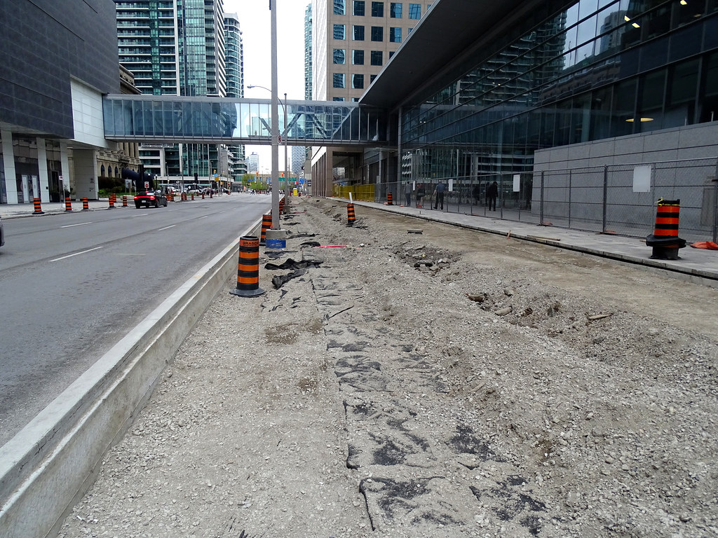
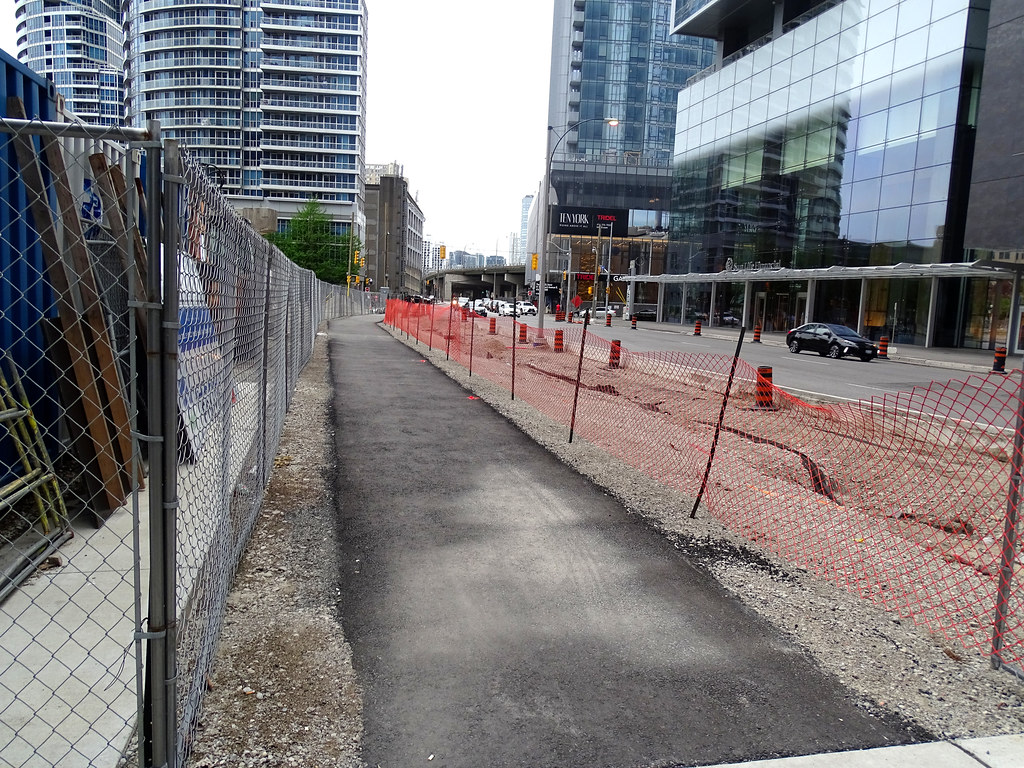
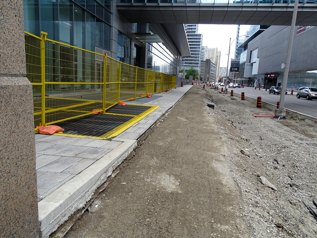
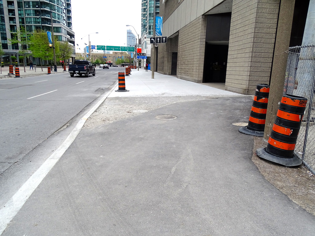
Following the opening of the new York-Bay-Yonge off-ramp from the Gardiner Expressway, and the widening of Harbour Street in January, work is resuming to complete the remaining road and streetscape work on Harbour Street. The work will begin on Tuesday, April 10 and will be completed by late summer.


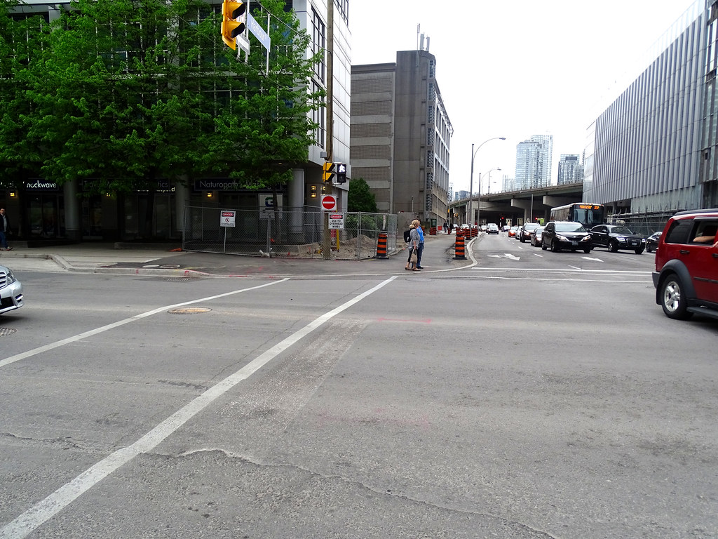
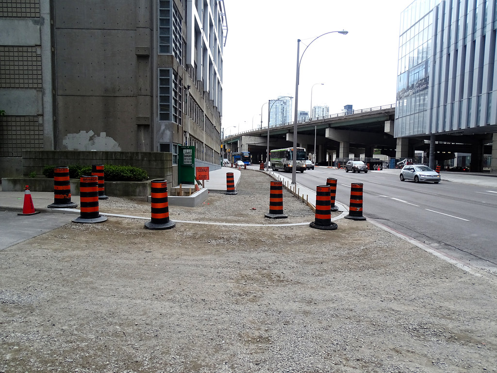
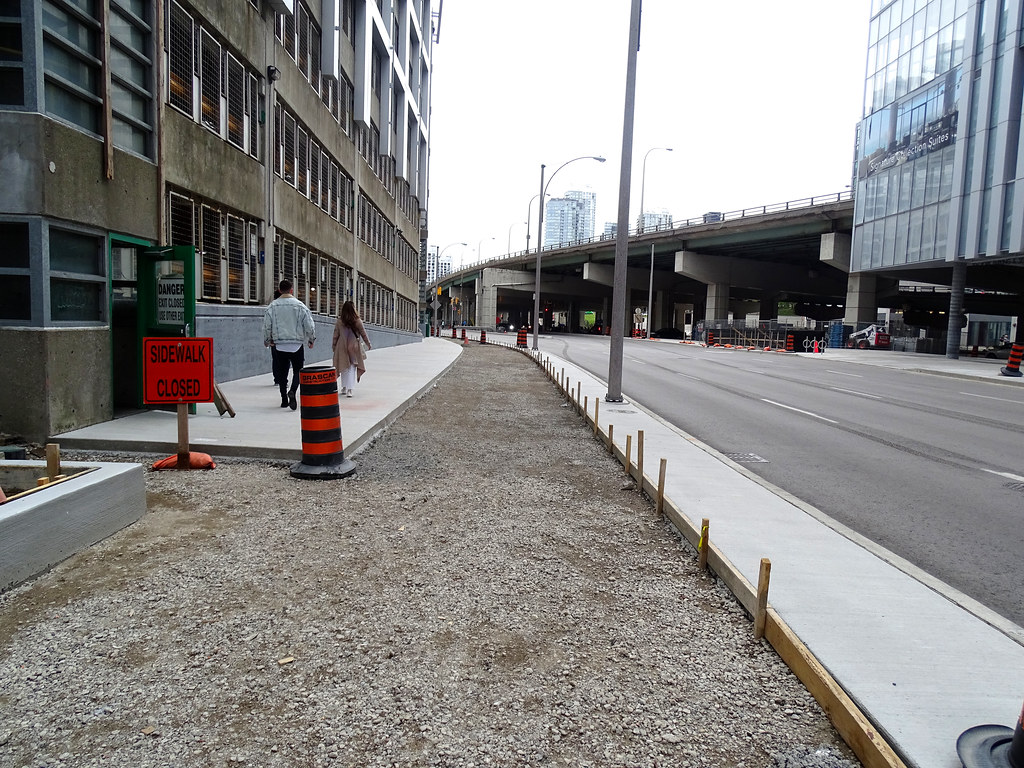
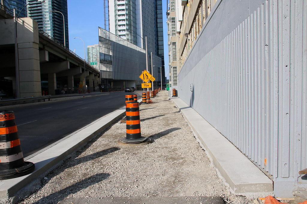
Work is required on both the north and south sides of Harbour Street. To minimize disruption, only one lane of traffic will be closed at a time on Harbour Street and on the York-Bay-Yonge off-ramp. Work will begin on the south side of Harbour Street and once it is completed, construction will shift to the north side of the street.


Work will generally take place at off-peak times, from 9:30 a.m. to 3:30 p.m., Monday to Friday, however some evening and/or weekend work may occur to minimize traffic disruptions.


Barrels will be used to mark the closures and the barrels will be removed at the end of each day to reopen the lanes.


There will also be intermittent closures of a second lane on Harbour Street between York and Bay Streets to accommodate larger equipment during off-peak hours, from 9:30 a.m. to 3:30 p.m. These closures can be expected for the remaining construction period.


The comprehensive road and streetscape improvements include:

• a new multi-use trail on the south side of Harbour Street between Lower Simcoe Street and Bay Street • the installation of permanent traffic lights and permanent pavement markings • new permanent sidewalks where required • the installation of granite planters and the planting of 39 new trees, 1,200 shrubs and significant groundcover • the completion of the asphalt top coat on Harbour Street between Lower Simcoe and Bay Street.


To help manage traffic in the area, enhanced signage will be used to inform drivers of the road closures and signal timing changes are being made on parallel routes. However, all road users should expect delays.


The City's web-based map to help residents and visitors make their travel plans is available at http://www.toronto.ca/roadrestrictions. Information about the City's planned capital construction work is available at http://www.toronto.ca/inview.


This news release is also available on the City's website: http://ow.ly/NfFz30jmD1n.
 
What mapping app do high trucks use to avoid low bridges or underpasses?

This is a typical case where a hardware fix of the bridge is needed, and where a software fix of an app will not do.
Not everything is virtual, and not every problem has a virtual solution.
 
If you are renting a van (moving to a new house, for example), would be nice to check the height of the rented van against the route you'll be taking. A lot of the trucks in the above video show as leased trucks, so the drivers may not be that familiar with the height restrictions.
 
May 21
Surprised no one posted new sidewalk between York & Simcoe The rest looks the same.

Just Finish up all my 1105 May 21 photos.
41743336634_7544d1dea4_b.jpg

41743334154_7aa3bf4b8e_b.jpg

41563925005_da2ca1f0f2_b.jpg

41743339584_8d91410b09_b.jpg

40657637880_6a75140027_b.jpg

42415631852_2a117e7eb0_b.jpg

28593933748_a1a16fc7ac_b.jpg

27366773477_fc2d7a4b2e_b.jpg
 
Quite disappointing that since construction was resumed on April 18th, this is the only thing that was done...
They poured a bit more concrete yesterday. But that's it... in 6 weeks.
Yes, there is clearly no sense of urgency at all - at this rate they will be too late for (sensible) tree planting this spring.
 

Back
Top