drum118
Superstar
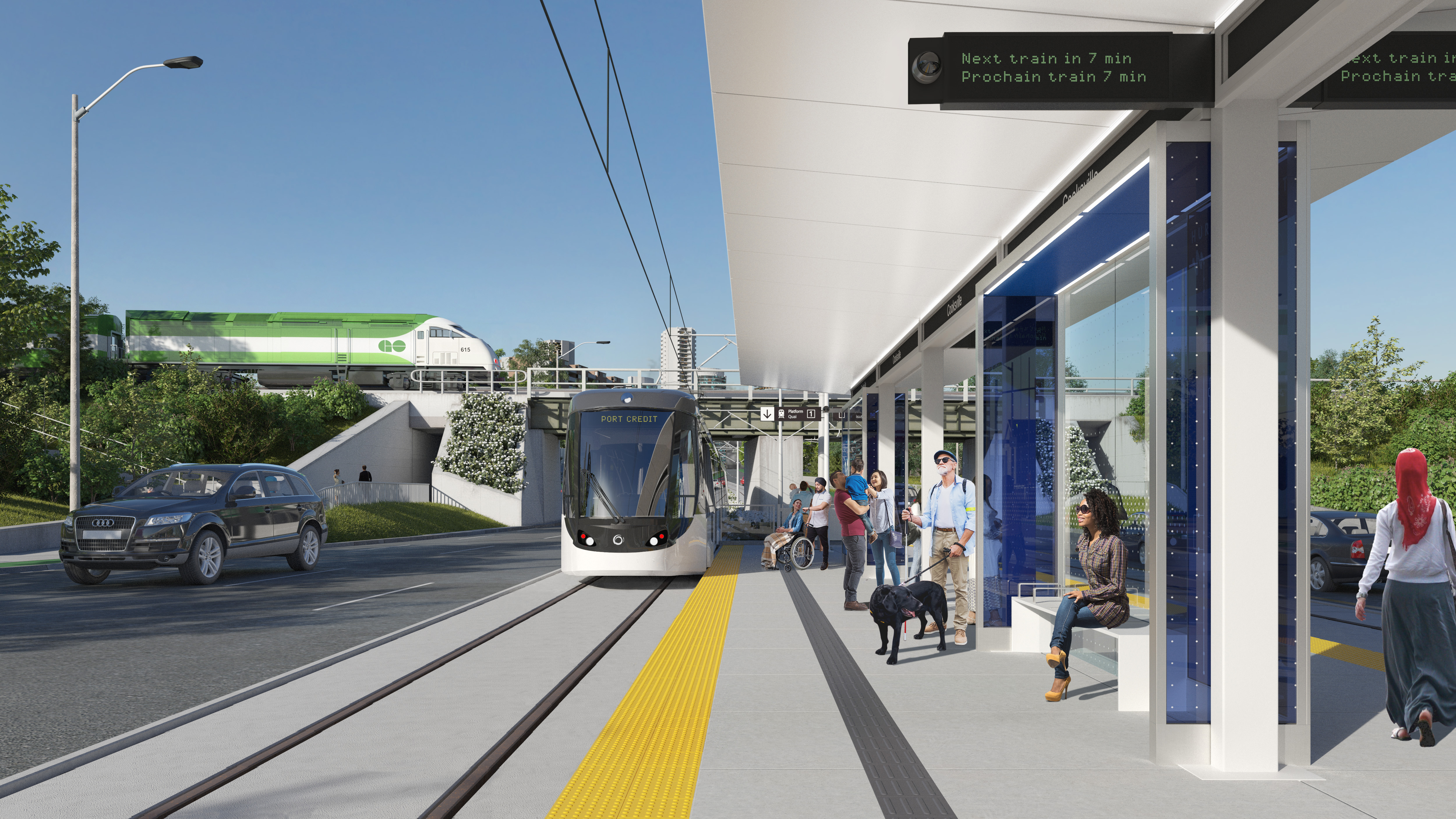
I am assuming the the existing southside will remain as is since it will require a full rebuilt as well moving the tracks closer to the existing buildings which breaks ML own 30m rule without a crash wall.Why north when the existing bridge already has space for two tracks on the south?
Most of all, a south side line new bridge over the Credit River will hide the historical bridge like the north side was with great up roar from everyone including me. The existing south platform would have to become a centre platform
Easy to build a side platform on the north side as well a 4th track bridge over the Creek River.
On top of that, you have to look at the corridor between PC and Oakville with the track being built on the north side a lot easier as well to Long Branch