EnviroTO
Senior Member
In the underground portion we did build light metro. Light rail vehicles in a fully exclusive ROW with full automated train control.For that kind of spend (150m underground stations) we should have done light Metro.
In the underground portion we did build light metro. Light rail vehicles in a fully exclusive ROW with full automated train control.For that kind of spend (150m underground stations) we should have done light Metro.
I think he means with conventional light metro vehicles, not what we're getting now with all the dead space gapped LRVs.In the underground portion we did build light metro. Light rail vehicles in a fully exclusive ROW with full automated train control.
What's the bug deal with that? The space won't make or break having sufficient capacity, and I don't think the dead space is as much as it appears to be.I think he means with conventional light metro vehicles, not what we're getting now with all the dead space gapped LRVs.
You need to read what I said a bit more carefully.
I didn't say that it was unconditionally better. Yes if you compare the numbers and the on the ground facts, the crosstown is way better - there is no argument. I said that the streetcar it was better in the sense that it is better suited for the environment it runs in. Every mode has a situation that it suits best: For some corridors a subway makes the most sense, in some corridors a tramway, in some corridors a BRT. Tramways like Eglinton are best in extremely dense environments where people are travelling short local distances. That isn't the case on Eglinton: What was built on Eglinton does not suit the corridor it was built in. Eglinton is very suburban, with most people travelling large distances to reach their destination. Tramways do not work well in such environments - and the choice of mode on Eglinton makes no sense.
Which part of Eglinton? Midtown? Well its underground in Midtown - unlike Calgary which is in a completely dedicated ROW only outside of downtown.
That's population densities, however that doesn't take into account things like office and commercial buildings. The map above shows that this:No I mean the suburban stretches of Eglinton. With population densities rivalling those of downtown Edmonton and Calgary - the very places you say tram LRT makes sense.
View attachment 387580
data from CensusMapper.ca
Not now it wont, but let's revisit that thought in 20-30 years. The deadspace is much more significant compared to the dead space we have between subway cars (T1s).What's the bug deal with that? The space won't make or break having sufficient capacity, and I don't think the dead space is as much as it appears to be.
You need to read what I said a bit more carefully.
I didn't say that it was unconditionally better. Yes if you compare the numbers and the on the ground facts, the crosstown is way better - there is no argument. I said that the streetcar it was better in the sense that it is better suited for the environment it runs in. Every mode has a situation that it suits best: For some corridors a subway makes the most sense, in some corridors a tramway, in some corridors a BRT. Tramways like Eglinton are best in extremely dense environments where people are travelling short local distances. That isn't the case on Eglinton: What was built on Eglinton does not suit the corridor it was built in. Eglinton is very suburban, with most people travelling large distances to reach their destination. Tramways do not work well in such environments - and the choice of mode on Eglinton makes no sense.
Which part of Eglinton? Midtown? Well its underground in Midtown - unlike Calgary which is in a completely dedicated ROW only outside of downtown.
Old heavy metro vehicles had couplers and usually dissuaded passengers from trying to go between cars. We are spoiled with the open ended cars you can walk through from one end of the train to the other.I think he means with conventional light metro vehicles, not what we're getting now with all the dead space gapped LRVs.
I can already hear the car-centric councillors loosing there minds.
Exactly, thanks for pointing it out in detail.That's population densities, however that doesn't take into account things like office and commercial buildings. The map above shows that this:
View attachment 387581
has the same density as this:
View attachment 387582
Even looking at the satellite view you can see a massive difference:
View attachment 387583
View attachment 387584
You do realize in 10 years Don Mills and Eglinton intersection will have an additional 30 condos/mixed used buildings there if not more lol?That's population densities, however that doesn't take into account things like office and commercial buildings. The map above shows that this:
View attachment 387581
has the same density as this:
View attachment 387582
Even looking at the satellite view you can see a massive difference:
View attachment 387583
View attachment 387584
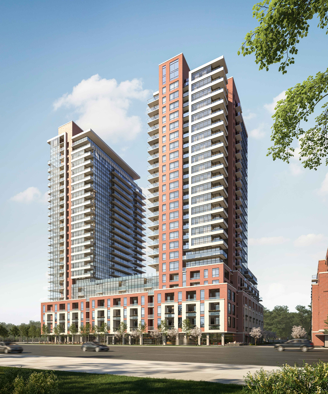
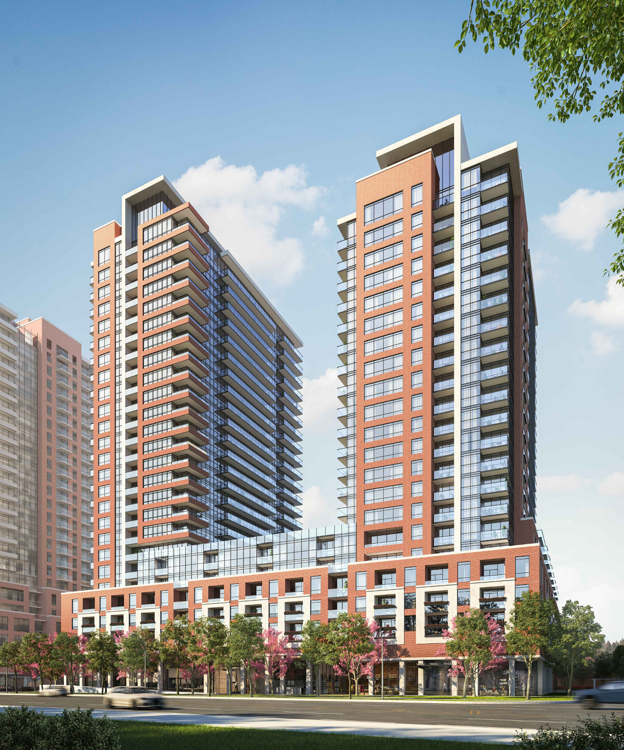
Here's a rendering of the proposed projects in the Golden Mile:Exactly, thanks for pointing it out in detail.
Calgary downtown is so much nicer than ummm Eglinton East. I don't even know how is this even a comparison. It's like comparing a mice to an ant.
Even in winter, Calgary downtown is quite lovely. They have beautifully decorated old city hall with a skating rink. The pedestrian only 6th Avenue is quite a present walk. The 7th Avenue transit mall is where all the riders would hop on the trains. The ridership in future Eg East is no where near what they have (I mean "had" -causes of COVID) in Calgary. Not to mention classy restaurants along the transit mall, a relatively small Chinatown and a financial core. Also a big mall that spans a few blocks with environment protected bridges connecting them with a nice indoor garden (Devonian Gardens) beside the food court (what a relaxing place). Calgary tower is their mini CN tower.
What does Eglinton East have? NOTHING compared to that. Hopefully you won't get splashed by dirt water while walking in the winter along Eglinton. What Eg East has is Eglinton Square, a few suburb supermarkets, big box stores, car dealers and fast food. They can rip everything down for a Devonian Gardens. I would be greatly be satisfied if they had one here.
I'll bet some auto-addicted motorists will want to designate those parking lots as "heritage sites".Here's a rendering of the proposed projects in the Golden Mile:
View attachment 387728
Here is what the area currently looks like:
View attachment 387729
Also, Don Mills and Eglinton area below:
View attachment 387730
Which currently looks like this:
View attachment 387731
So if density is what you're looking for, then it'll be there in the next 10 years. It might not be as vibrant as the Calgary downtown you're describing, but also, you need to compare apples to apples. Downtown Calgary needs to be compared with Downtown Toronto, or in the case, Yonge and Eglinton area. And Yonge and Eglinton area has a lot more density and ridership than Cargary downtown. If we were to compare suburban Calgary with The Golden Mile stretch of Eglinton, then again, with the in-work projects along Eglinton, it'll be miles ahead in a matter of 5-10 years.
And my question still stands, what do you propose is a better system than LRT in this section? It is expected to see a pphpd of 8,000, which is too high for buses to handle, and too low for subways to be feasible. LRT is the ideal mode to deal with this capacity requirement while also future proofing for the medium term.