JasonParis
Moderator
The rainbow lettering is a bit prescient too.
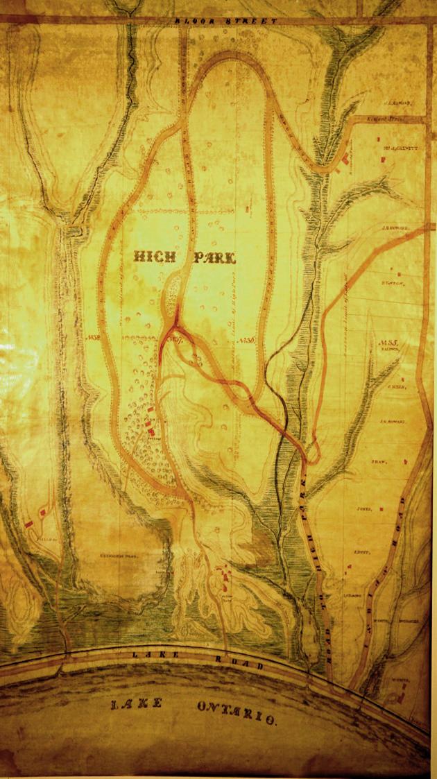
Keele and Bloor is where Spring Creek flows underground, causing problems for many of the buildings that were put up.Bloor Keele 1914:
View attachment 374537
Today. The houses with the turrets in the 1914 pic are still there on Mountview:
View attachment 374539

I recently came across this map/plan of Toronto, it is clearly from a book.. Any ideas where it is from? I tried to check Robertson's Landmarks but ....
View attachment 374556
Sorry, I was unclear. I am interested in know which book the plate is from, what I copied is clearly only part of a larger Plan.That is Union Station in the middle. I would have to guess that is either Metropolitan United or St James Cathedral in the background.
I would say this was done from the foot of Brock Street (Spadina Avenue)


