hkskyline
Active Member
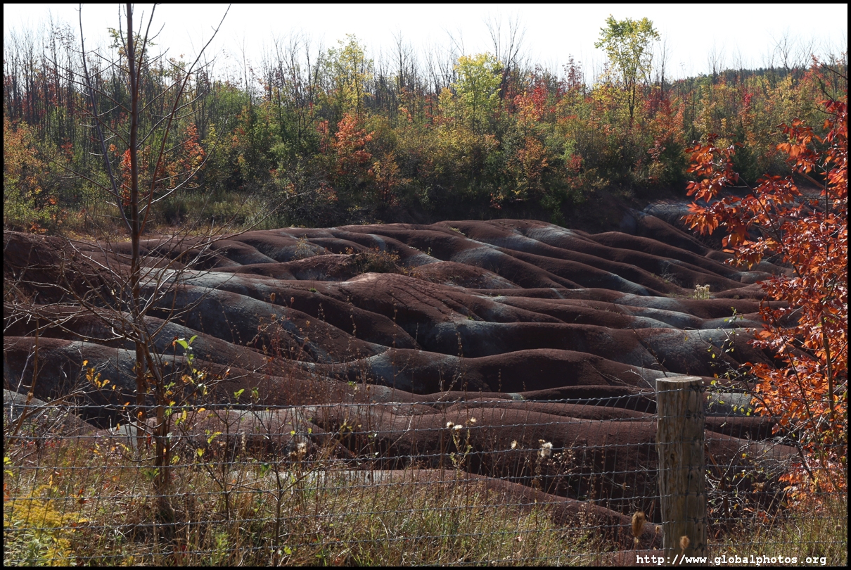
The Cheltenham Badlands are about an hour northwest of downtown. Formed at the bottom of an ancient sea some 450 million years ago, the unique colours of the Queenston shale were exposed by deforestation and farming in the early 1900s. Human activity removed the top soil layer, making them susceptible to nature's forces such as rain, snow, and the melt. These weather conditions eroded the landscape into what we see today, a series of red hills and gullies surrounded by the forest, with the colour caused by iron oxide.
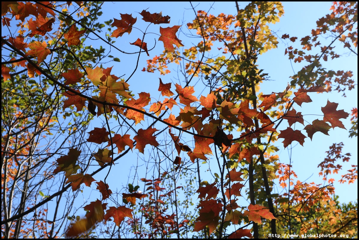
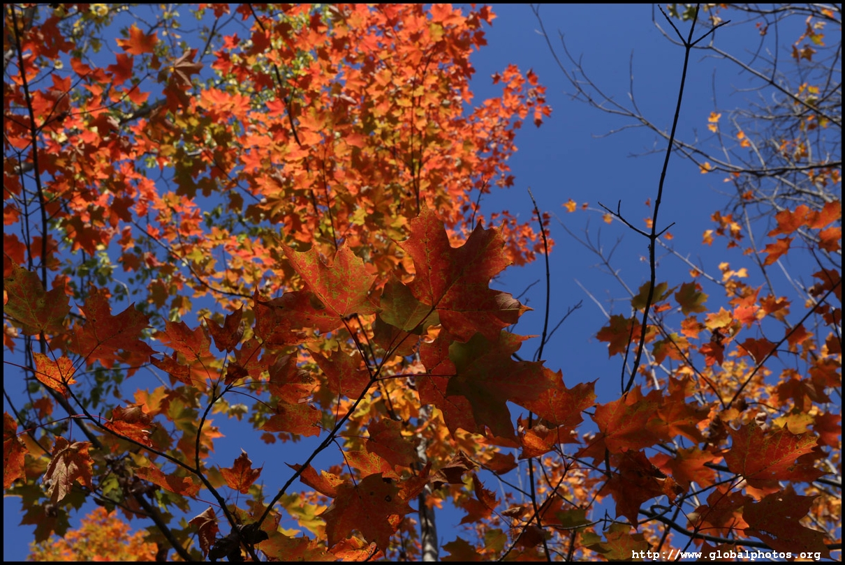
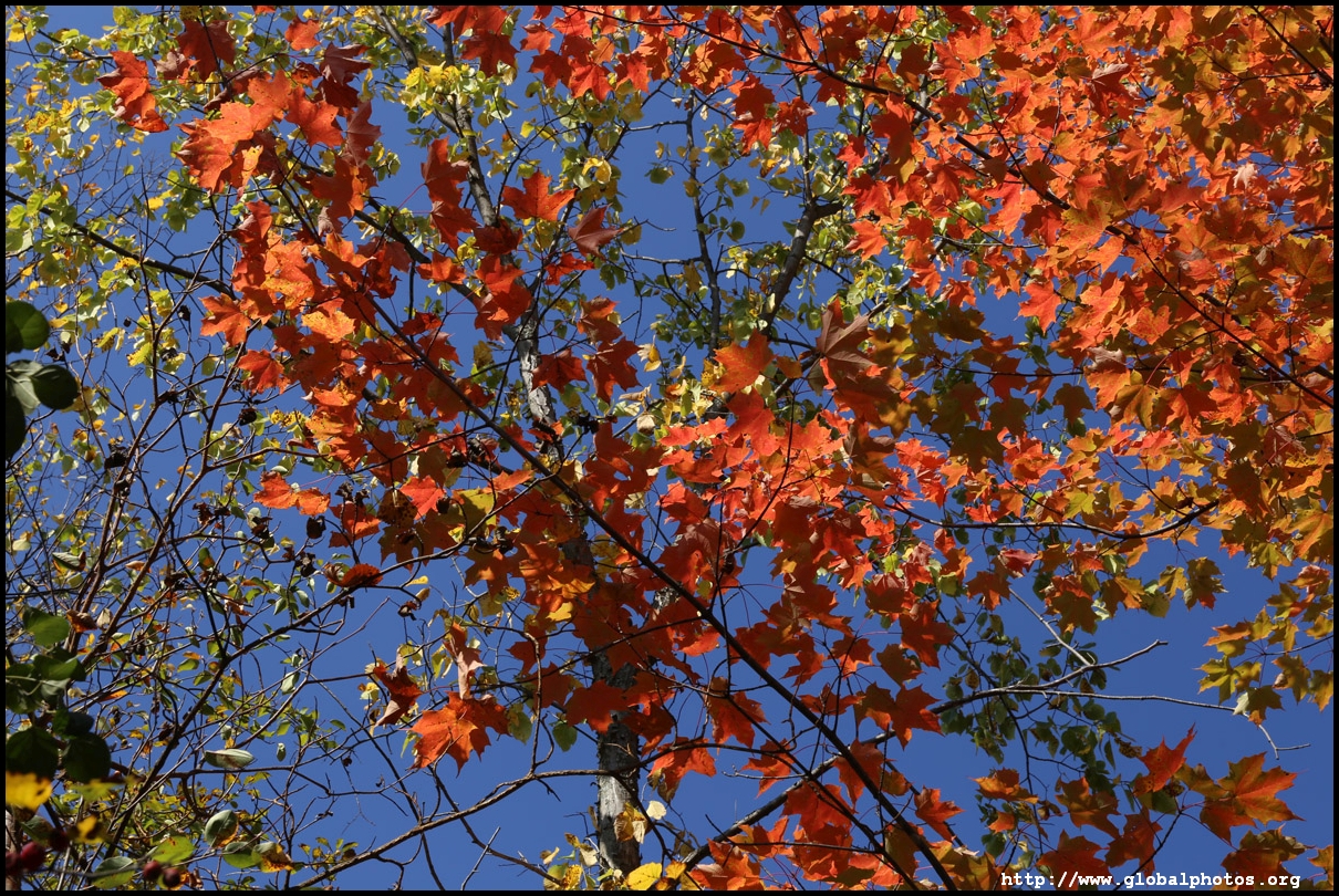
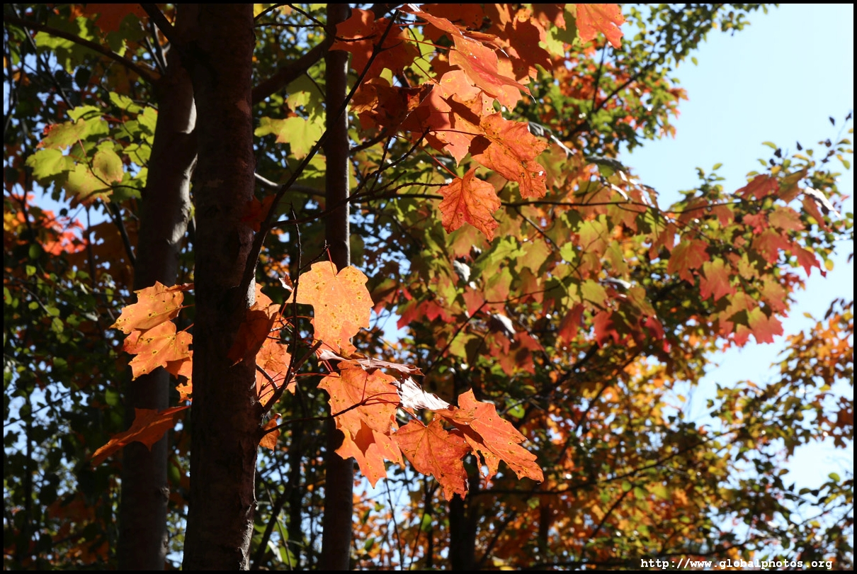
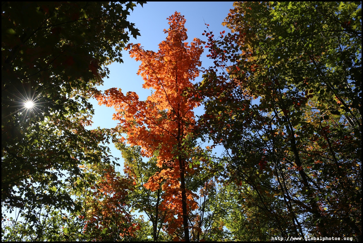
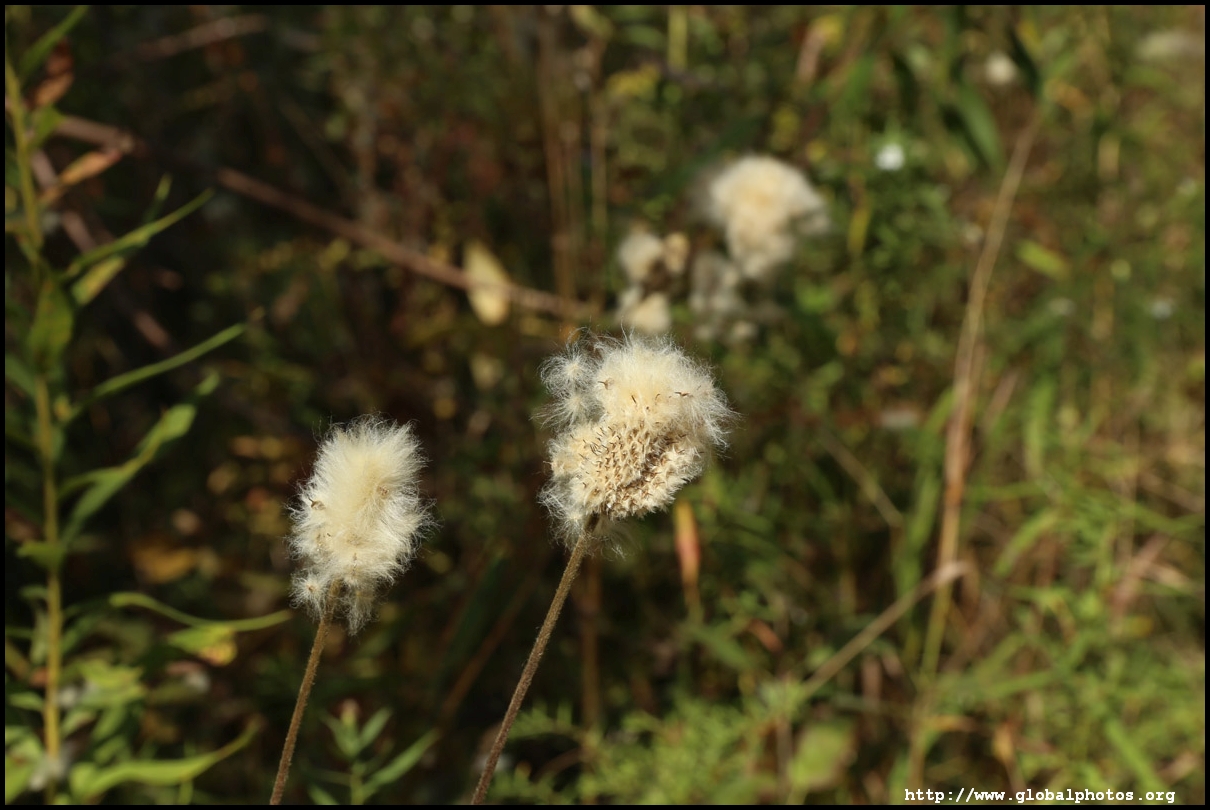
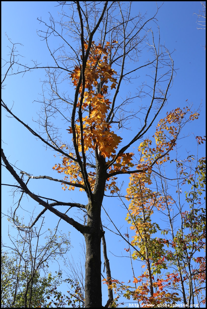
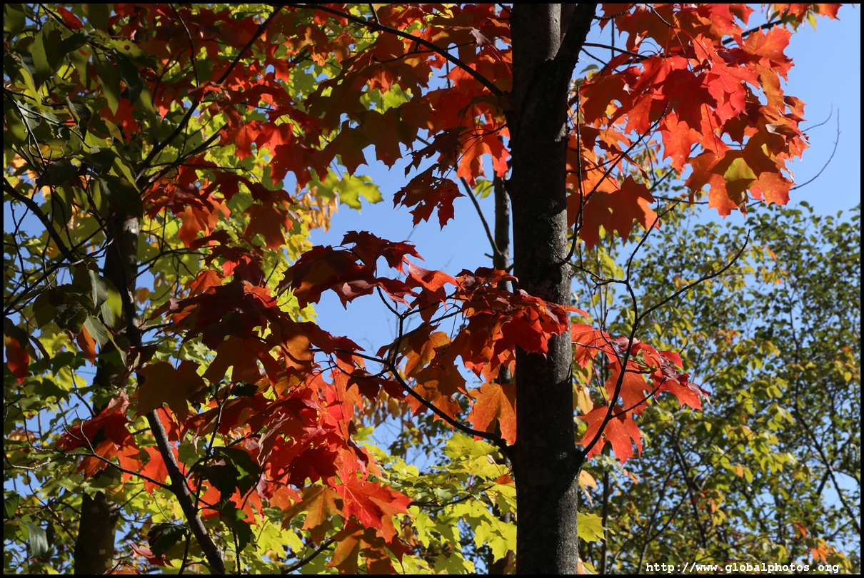
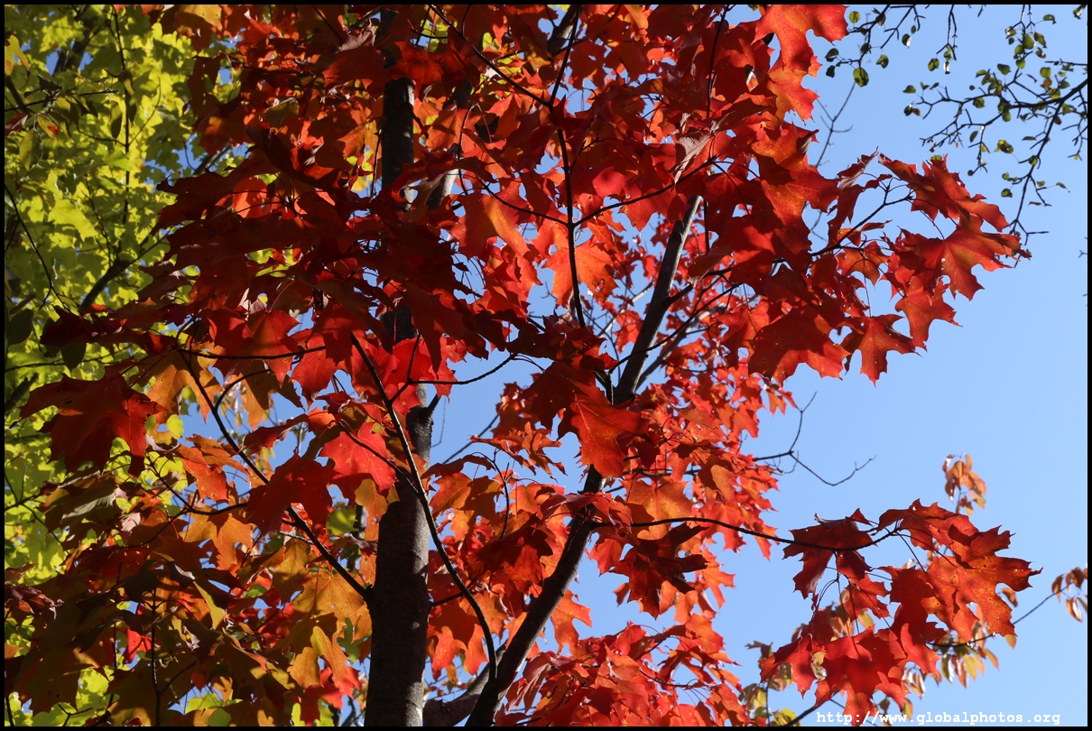
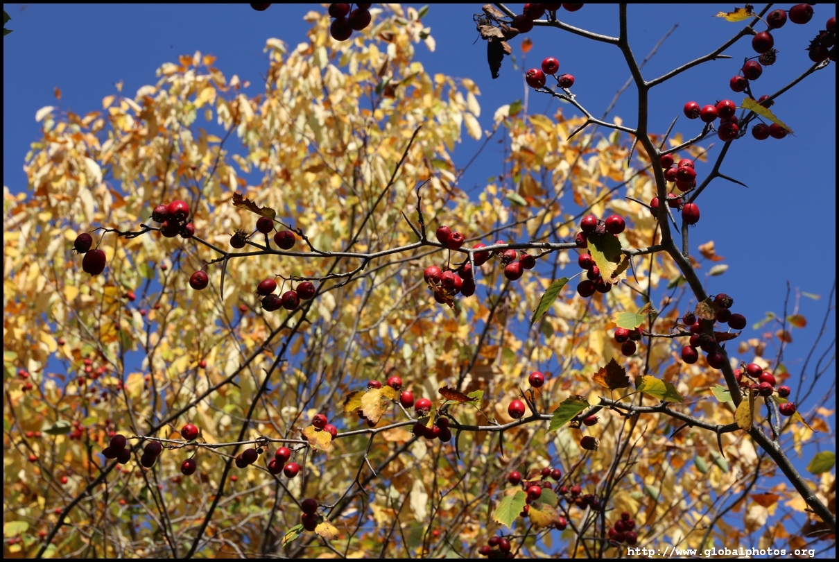
It is about a 600m walk through the forest to the viewing platform. Although it was an unseasonably warm early October day, there were some fall colours to see.
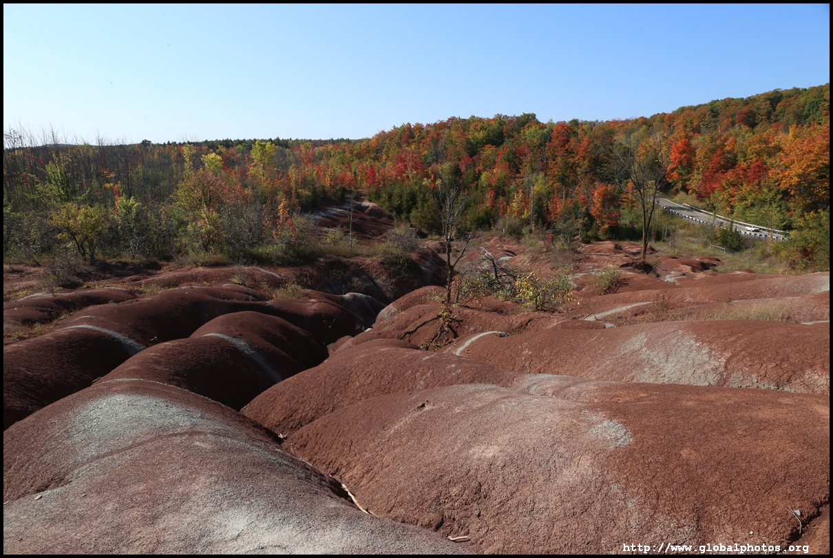
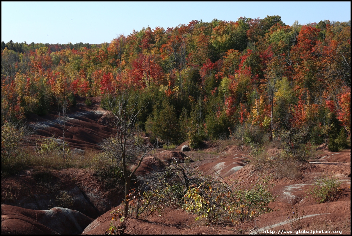
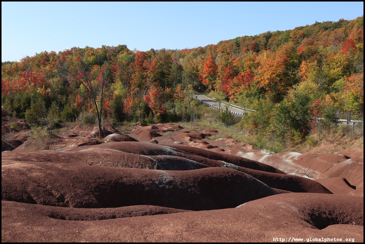
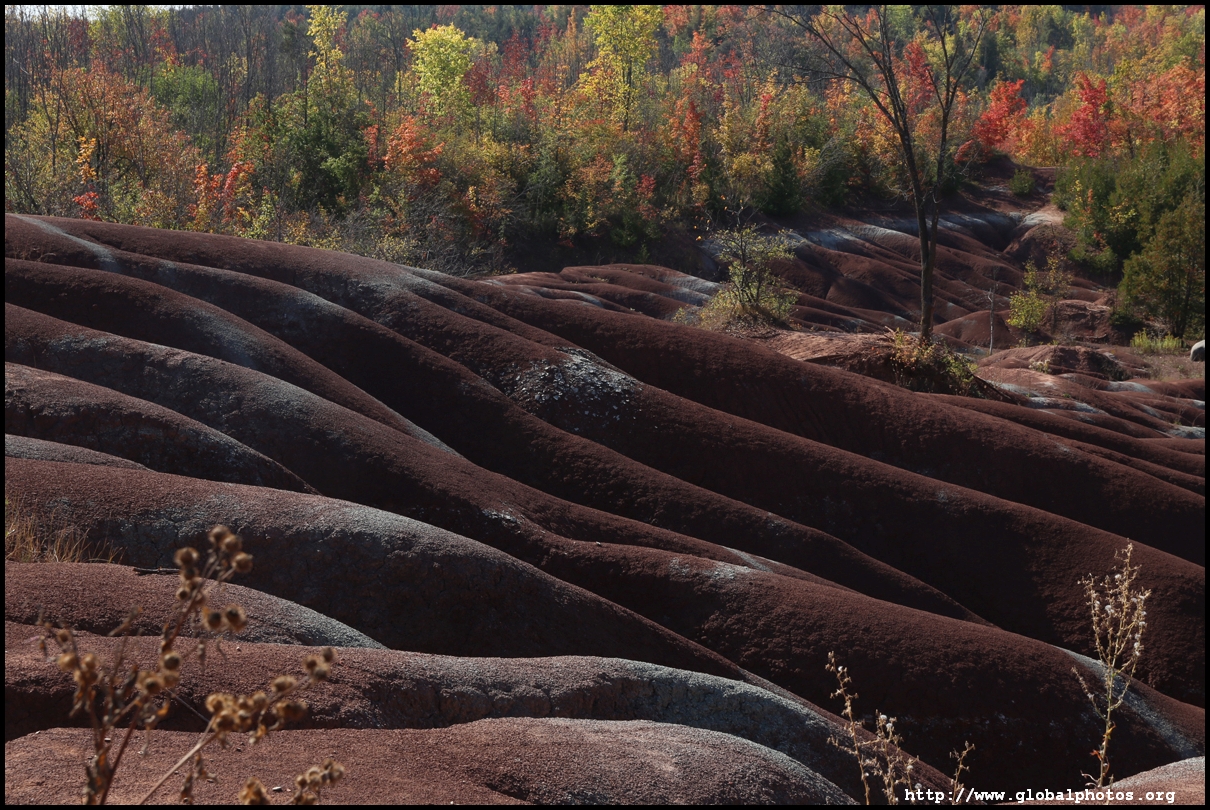
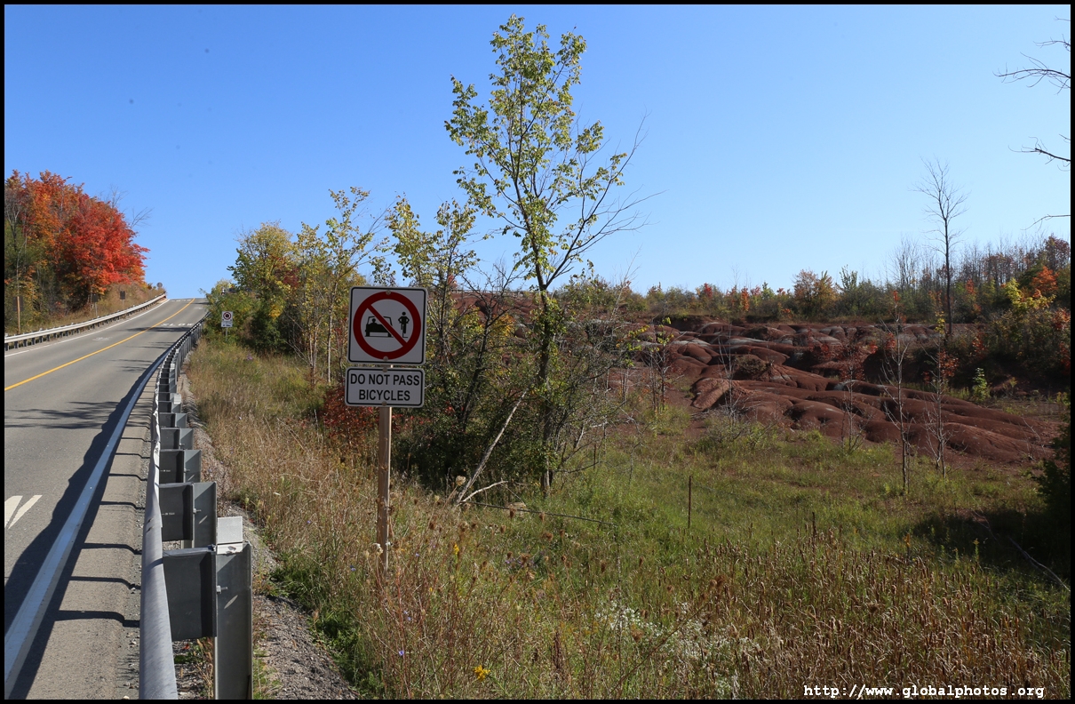
Parking is not allowed along the road outside that passes next to the badlands. The view from the road is quite different than the boardwalk as it offers a wider perspective, seeing the formation rise along the slope.
More photos on my website : https://www.globalphotos.org/toronto.htm
It is about a 600m walk through the forest to the viewing platform. Although it was an unseasonably warm early October day, there were some fall colours to see.


Parking is not allowed along the road outside that passes next to the badlands. The view from the road is quite different than the boardwalk as it offers a wider perspective, seeing the formation rise along the slope.


More photos on my website : https://www.globalphotos.org/toronto.htm
