


Carpe Diem
New Member
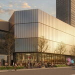
Agreed, awesome project, and amazing to hear new trails and park space will be added. Looking forward to checking out the deck when the Bad Gateway resolves itself.No, the public area is a (welcome) added benefit of the other parts of this huge project. Of course, I too would have liked more publicly accessible land but....
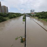
BTW The TRCA site appears to be having difficulties today - too many UTers trying to read full document?
I am looking forward all the "openings" over the next few years: this one, East Don, Portlands. As well as little ones like Cudmore Creek, Chester Springs, Taylor Massey updates. Some great projects and added outdoor space for the city!