Toronto 25 Photography Drive | 165m | 49s | Choice Properties | Giannone Petricone

The area was originally supposed to be the fourth suburban "City Centre". The other three, Etobicoke, North York, and Scarborough, all ended up happening in some form, with North York being by far the most successful.

This one never took off as it never got a transit connection.
 
Wonder if the name Kodak Heights will catch on again.

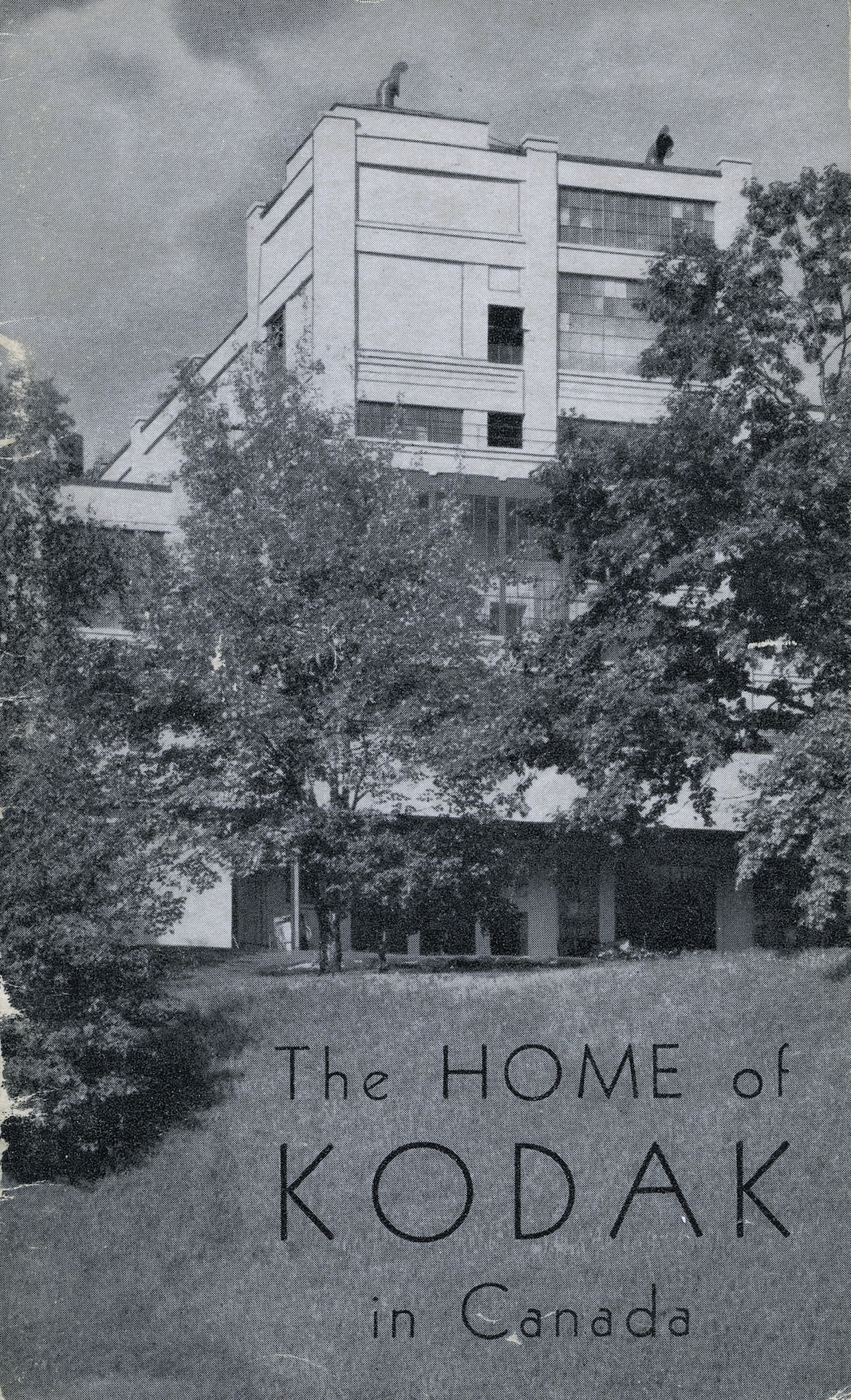
A couple articles on the history of the area, and a Mount Dennis Mobility Hub Study. The piece by Ryerson also includes some interesting photos of the old Kodak complex:


Applications are in the AIC for this now.

No Description yet.

1626776547273.png
 
At the moment, it looks like a "Santa Christmas Wish" for Choice Properties REIT.

The current lease for the No Frills on the property expires in 2027. So nothing until then.

No Frills and Choice are related; they are both Weston-owned businesses.

The No Frills will relocate when the Westons would like to proceed.

They will almost certainly move on-site and not close, the site is amply large for that.
 
Applications are in the AIC for this now.

No Description yet.

View attachment 336174
Project description:
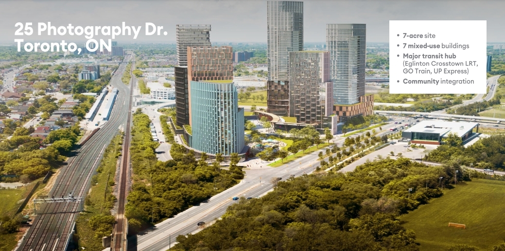
Application to redevelop the lands into a mixed-use development consisting of three development blocks, a new public road, a new private road and publically accessible amenity space. Block A would include a new food store and three towers with heights of 28, 39 and 49 storeys, located on an 8 to 10 storey podium. Block B would include two towers with heights of 25 and 38 storeys, located on a 5-storey podium. Block C would include a privately-owned publically accessible space (POPS) and two towers with heights of 20 and 32 storeys on a 5-storey podium. The proposal would include a total of approximately 191,000 square metres of gross floor area, including 186,800 square metres of residential floor area and 4,550 square metres of retail floor area. The proposal would include 2,356 residential units.

Giannone Petricone Architects: 49 storeys

1629284541930.png


1629284454369.png


1629284500555.png


Key statistics:

1629284207039.png


Site Plan:

1629284404423.png
 
We have a front page story up on it here, including a statement on the vision for the project from Ralph Giannone, design lead on the master plan!

Database file is up now too, linked at the top of the page.

42
 
A bicycle path and pedestrian walkway is needed that follows Black Creek itself, not Black Creek Drive, from Weston Road/Eglinton Avenue West to Jane Street/Maple Leaf Drive.

The paths should be permeable to allow rainwater to seep through into a dry well, and not to add to the flooding of Black Creek.


1629399149483.png
From link.
 
If this project moves at usual Toronto snail's pace, Black Creek Drive is not in danger to lose its cheapest gas station.
 

Back
Top